
-
 27584 Hits
-
 83.1% Score
-
 16 Votes
|
|
Mountain/Rock |
|---|---|
|
|
38.80760°N / 104.9472°W |
|
|
10930 ft / 3331 m |
|
|
Overview
There are five named 10,000 feet peaks on the Ormes Pikes Peak Atlas located between the Bear Creek drainage and the Ruxton Creek drainage on the east side of Pikes Peak. Mt. Garfield at 10,930 feet has the distinction of being the highest. Bear Creek was the first leg of the historic 1873 road to Pikes Peak via Jones Park to the Lake House at Lake Moraine. The current trail up the east face of Pikes Peak, Barr Trail, begins in Manitou Springs along Ruxton Creek.
From the summit of Mt. Rosa you can pick out the five 10,000 feet peaks between the Bear Creek and Ruxton Creek drainages. Far left in background is Tuckaway Mountain (10,825), in center of photo from left to right: Camerons Cone (10,707), Mt. Garfield (10,930), Mt. Arthur (10,807) and Tenney Crags (10,093).
Mt. Garfield is not as obvious from much of Colorado Springs as it's lower neighbor to the north Cameron Cone at 10,707 feet. This when combined with a difficult Class 2 bushwack from the peaks base in the Bear Creek Valley results in few summit attempts. Your route will involve route finding and could involve some Class 3 moves or backtracking to avoid difficult moves or cliffs.
My Saturday, May 28 summit was the first recorded in the summit register in 2005. The current register was placed in 1979 and is in great condition with several empty pages. In other words, expect to have the summit to yourself.
 |  |  |  |  |
Getting There
Take US Highway 24 West, also known as Cimarron Street, to 8th Street. Go south on 8th Street. Turn right on Cheyenne Boulevard. Continue staight at Cresta Road. When you come to a fork in the road, take the right fork, which is North Cheyenne Canyon Road. The left fork goes to Seven Falls. Follow the road past Helen Hunt Falls and continue up switchbacks until you reach the end of the paved roadway. There is a large gravel parking lot on the left. Park here to access the Seven Bridges Trail #622 via Gold Camp Road.If the gate to High Drive (one-way northbound) is open just beyond this parking lot, you can proceed up along High Drive to the Mt. Buckhorn / Mays Peak saddle. At the saddle is a second trailhead, the Captain Jacks, which accesses the Buckhorn Trail #667.
A third trailhead beyond the saddle is located at the last major switchback below the saddle on the left. This trailhead accesses the lower Bear Creek Trail #666.
As can be seen on the Pikes Peak Atlas or other good topo map of the area (which you will need for the bushwack portion above the valley), all three of these trails provide access to Jones Park and the upper Bear Creek Trail (Continuation of #667).
Access to Jones Park and the upper Bear Creek Valley is also possible from Frosty's Park to the southwest but would require quite a bit of uphill hiking after a long summit day.
Red Tape
There are no day-use or overnight hiking or parking fees for any of the four trailheads mentioned above. The hike is located in Pike National Forest. Expect High Drive to be closed during snow season making the Gold Camp Road the only feasible trailhead during these times. If you chose to follow the upper Bear Creek Trail #667 past Mt. Garfield to the head of the valley just south of Tuckaway Mountain, you will be stopped by a City Utility gate just prior to Lake Moraine, the only natural lake on Pikes Peak.When To Climb
Would be a rather difficult bushwack with snow. Late spring, summer and early fall are the best times for summiting.Camping
Camping is allowed in Pike National Forest. Follow leave no trace principles. Jones Park and much of the upper Bear Creek Valley would be excellent for backpack camping with many generally flat areas and a good water source. The later in the summer and the higher in the valley you head the more likely Bear Creek may be dry. The good news is you follow it most of the way.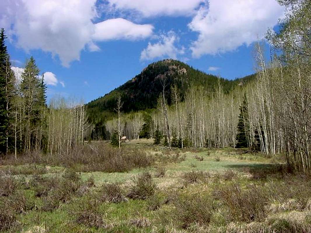
Upper Bear Creek Valley has many locations suitable for a tent.
Mountain Conditions
Check Colorado Springs weather at: Colorado Springs weatherCheck conditions on Pikes Peak above 11,000 feet here.