
|
|
Mountain/Rock |
|---|---|
|
|
46.77280°N / 121.8989°W |
|
|
6040 ft / 1841 m |
|
|
Overview
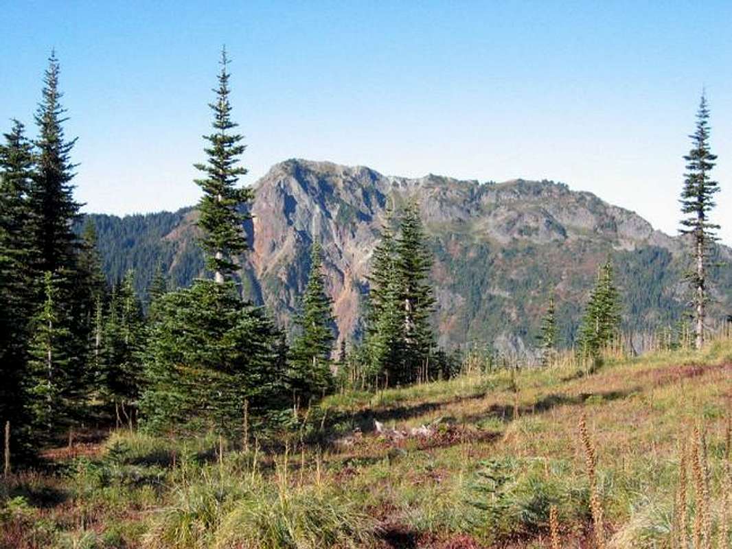
Mount Wow is located in the southwest corner of Mt. Rainier National Park and has excellent views of Mt. Rainier from its summit. Its name apparently originates as being the expression that pops into mind when Mt. Rainier suddenly comes into view on gaining the south ridge. Several beautiful alpine meadows adorn Mt. Wow's southern slopes. This peak likely sees less visitors than many other peaks in the southern part of the park per the lack of trails and direct access.
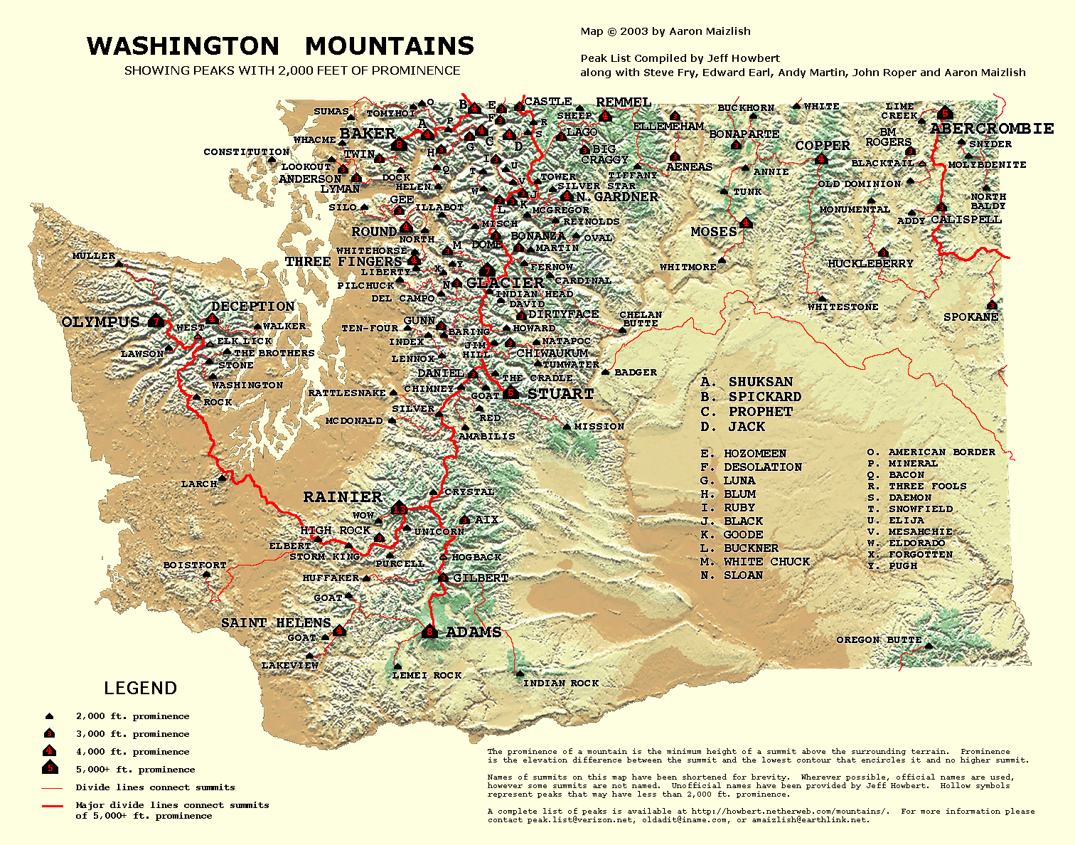
Mt. Wow ranks as the 122nd-most prominent peak in WA (2120P), tying it with Liberty Mountain. The List - and map of summit locations.
Per Klenke, the easiest approach is likely Goat Creek from the west - requiring minimal class 3 scrambling and easy bushwacking. The Boundary Trail (a better winter route if the road to Goat Creek is impassable) starts lower, requiring some class 3-4 scrambling and easy bushwacking.
 |
 |
 |
 |
 |
Getting There
Goat Creek Route:
About 3 miles west of the Nisqually Entrance to Mount Rainier National Park, go north on FR-59 (the road to Glacier View and Mt. Beljica). Drive FR-59 for 2.8 miles to a spur on the right at a switchback; this spur is the Goat Creek road. Drive it for 1.4 miles eastward to an impasse where the hillside above the road has slid rocks over the roadbed. A large rock blocks further access. Fortunately, this is only about 300 yards from the end anyway. Be aware this looks area looks like some individuals use it for target practice occasionally.
Boundary Trail:
Park just outside the Nisqually Entrance (southwest) of Mt. Rainier National Park. There's room for several vehicles safely off the road just across from the Gateway Inn. You may want to check in first at the entrance station, but to find the trail: bear left from the main gate along the section of road where vehicles exit the park. Just past the buildings on the left, locate the unmarked beginning of the Boundary Trail.
 |
 |
Red Tape
A fee must be paid on entering Mt. Rainier National Park even if you're on foot. Approaching via Goat Creek outside the park may obviate the need to pay an entrance fee.
When To Climb
Mt. Wow can be climbed all year round from the Boundary Trail approach. Snow may make the approach easier as one can kick steps on steep terrain and plunge-step/glissade in spots on the way down. There is likely some avalanche hazard, however, in winter.
 |
Camping
There is camping permitted inside the National Park. Now that the Sunshine Point campground was obliterated by floods in 2006, the closest car campgrounds are likely Cougar Rock (inside the park) or a USFS campground located a short distance south of Ashford. A backcountry permit (available at the Wilderness Information Center in Longmire) is required for camping up on Mt. Wow itself.
Mountain Conditions
Mt. Rainier Trail Conditions
This site posts the current trail conditions for the Mt. Rainier area. Although it does not list the Boundary Trail specifically, you can get a general idea of conditions in the area.
Paradise WebCam
Mt. Rainier Paradise webcam. On a good day, Mt. Wow is visible right-center.
Mt. Rainier Recreational Forecast