|
|
Mountain/Rock |
|---|---|
|
|
41.39200°N / 74.117°W |
|
|
Orange (County High Point) |
|
|
Hiking, Toprope, Bouldering, Scrambling |
|
|
Spring, Summer, Fall, Winter |
|
|
1664 ft / 507 m |
|
|
Overview*

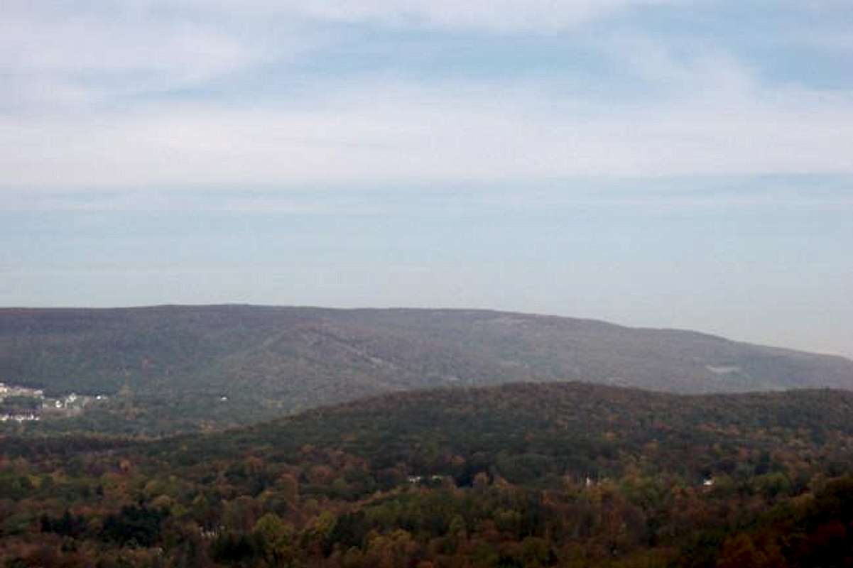
The highest point in Orange County, Schunnemunk Mountain was recently made a state park. The mountain itself is an 8 mile long ridge on the western boundary of the Hudson Highlands. It's heavily forested at lower elevations, but at the top of the ridge are large rock outcroppings with few trees. The summit offers broad views of the Hudson River, High Point New Jersey, the Catskill Mts, and even the top of the Empire State Building on a clear day. Migrating Raptors frequent the mounatin.
There are over 25 miles of marked and unmarked trails on the mountain. All of the aproaches to the mountain are located on private land.
All of the aproaches to this mountain are on PRIVATE LAND, please respect the land owners privacy and property, stay on marked trails, and observe all posted signs so access to this mountains can remain open.
History and Naming*
Schunnemunk Mountain in pronounced as skun-uh-munk. In the Algonquin language it means excellent firepalce. This name was given to the mountain because of the Lenni Lenape villige that was located on the northern slopes of the mountain.Geologicly it is a cousin of the Catskills even though the Catskills are more than thirty miles away.Getting There*
Mountainville/Taylor Road Trailhead.From I 87 (NYS Thru-Way) take Exit 16 and follow signs for Statr Road 32 North.
Follow Rt. 32 for about 7.4 miles to Mountainville.
Turn Left on to Orange County Road 79. About 700 feet later turn left on to Taylor Road.
The Trail Head is on your right about a 1/4 mile later.
Red Tape*
Schunnemunk Mountain is part of the Palasides Interstate Park Comission.- No Hunting or Trapping of fish or wildlife in other than apporved areas
- No ATV's
- NO Alcoholic Beverages
- camp at unauthorized sites
- use, launch, and store boats of any kind
- perform archaeological digs of any kind.
- ues or ride horses
- build, light,or mintain ANY fire
- have any pets unless they were leashed and muzled and not exceding 6ft. in length
- Use or operate a snowmobile
When To Climb*
Summer and fall are the best times to climb. Snow and ice can make climbing up some of the rocks tough but not impossible. Spring would also be hard because of late snow or the runoff from snow melt.Camping
Harriman State Park nearby offers many campgrounds.Mountain Conditions*

The mountain can be very windy in exposed areas, and there are a lot of them. Also be careful if you're on the mountain with thunderstorms nearby, as you will be sticking out like a sore
External Links
- Ancinet Forest Survey Page
A great page with lots of info on Schunnemunk Mountain!


