
|
|
Mountain/Rock |
|---|---|
|
|
33.25380°N / 116.4975°W |
|
|
6147 ft / 1874 m |
|
|
Overview
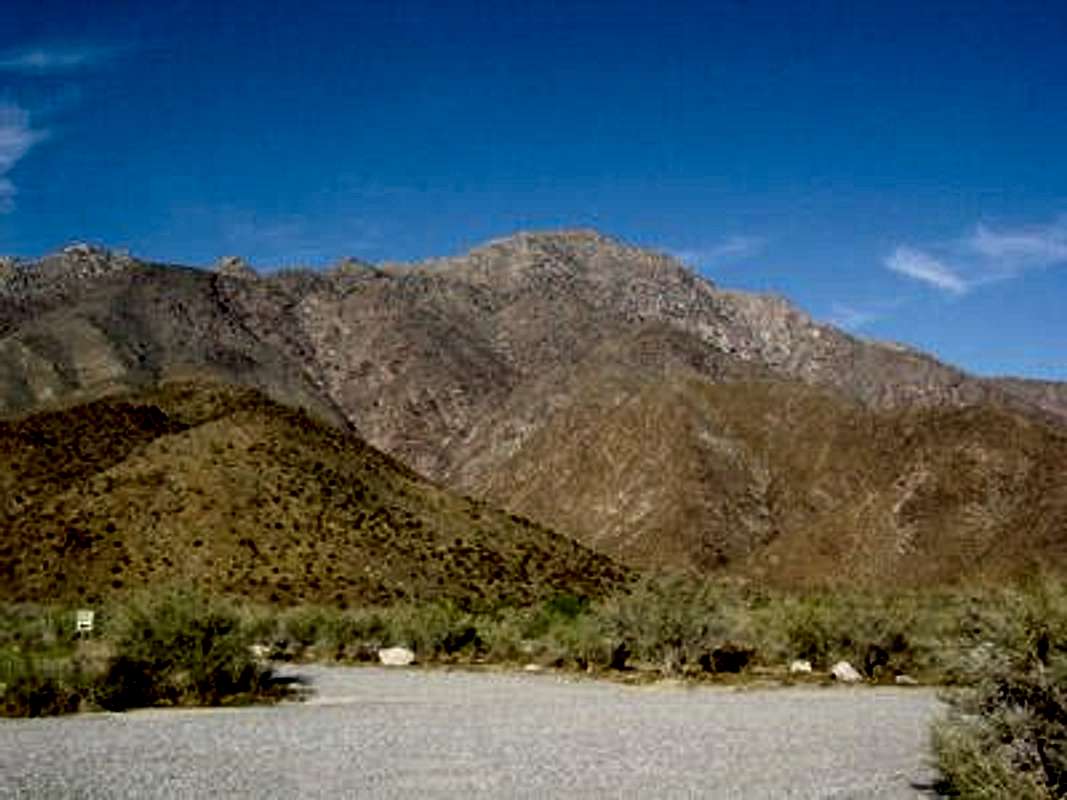
San Ysidro peak can be reached either along a steep spine from the east or an easier approach from the south.
The steeper route from the east is populated by bighorn sheep, desert cacti, agave and very large granite boulders. Even though you won't find any conditions beyond class 3 and a total vertical gain of 4400 feet, it's not an easy hike. Allow yourself seven to eight hours for the roundtrip. This was a very rewarding hike for me. Roundtrip is 7 miles. San Ysidro is included in the Hundred Peaks Section list. Look for the peak registry at the summit.
Bob Burd gives an excellent account of an easier approach to the summit from the south in the following trip log.
 |  |  |  |  |
Getting There
East Approach: Yahoo Map DirectionsThere is free parking at the Anza-Borrego Visitor Center. To find the route that leads upwards to the peak, head NW from the parking lot towards the northernmost spine of the mountain (it'll be apparent). Only minutes after beginning the ascent, you'll encounter a faint trail used by the occasional hiker and bighorn sheep. However, don't be suprised when you reach the end of the trail after 30-40 minutes. You'll have to make your own trail for the rest of the ascent.
South Approach: Taken directly from HPS
- Take I-15 south to Temecula.
- Take the second off-ramp for SR 79, signed "79 South / Indio".
-Turn left (east) on SR 79 for 37 miles to the town of Warner Springs.
-Continue south of Warner Springs on SR 79 for 3.5 miles to a junction with S2 coming in from the left. Turn left onto S2.
-Drive southeast 4.7 miles to S22. Turn left.
-Drive east on S22 for 6.6 miles to the Anza-Borrego State Park Boundary, which is signed at the top of a rise in the road. Park on the road shoulder just past the rise at the end of the fence on the left side of the road.
 |
Red Tape
Backcountry camping is permitted with the purchase of a $5 daily Park Use Permit. Ask park staff at the visitor center at the beginning of the east approach route about the rules for backcountry camping or (800) 444-7275. Several flat areas large enough to host a small group of campers can be found even along the steeper east approach to the summit. No campfires are allowed at any time. |
When To Climb
The Borrego Springs region is pure desert and gets HOT in the spring and fall and even HOTTER in the summer, sometimes exceeding 115 degrees. Best times to hike are between October and March (daytime temps will be in the 60s and 70s, perhaps freezing overnight). Snow can be found a few days of the year. There are no natural water sources so be prepared to bring sufficient water for a long uphill hike in warm conditions.Mountain Conditions
Current weather at base of San Ysidro

Plant life includes a variety of cacti and agave that seems to thrive in this region.
 |