
-
 43293 Hits
-
 83.69% Score
-
 17 Votes
|
|
Mountain/Rock |
|---|---|
|
|
38.45750°N / 122.5094°W |
|
|
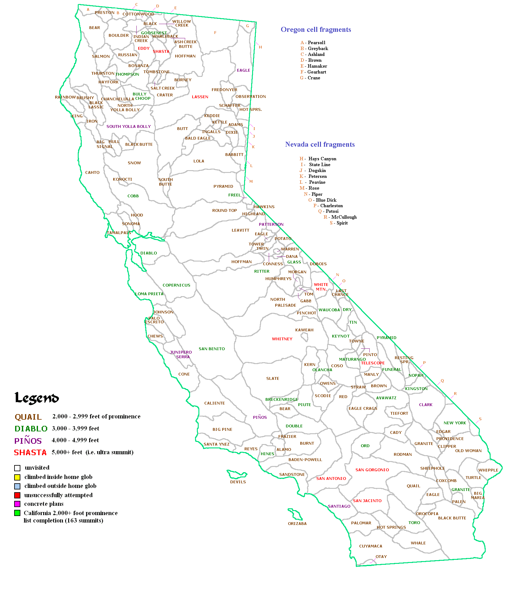
Sonoma |
|
|
Hiking |
|
|
Spring, Summer, Fall, Winter |
|
|
2729 ft / 832 m |
|
|
Overview

Bald Mountain is located in the California Sugarloaf Ridge State Park . This park has many hiking trails and lots of wildlife for your viewing pleasure. If you are really into viewing, visit the Ferguson Observatory located in the park.
Getting There

This little road gets crooked within a mile of the highway, so slow down and watch for bicyclists on the roadway. At 2.2 miles from Hwy 12 pass a trailhead for Hood Mountain and at 3.3 miles enter the Sugarloaf Ridge State Park. Pay the $6 for day use and procede into the park about 100yds to a large parking lot on the left. The trailhead leaves this parking lot and the elevation here is about 1,205 ft.
See the Route Description for info on the trail and finding the summit of Bald Mountain.
free parking Reply | Delete
"Avoid the 6$ fee to park your car!
Traveling along Adobe Canyon Road, you pass a major turnout on the left side (Parking for the Hood Mountain trail). The second major turnout on the left that you pass is the cheapskate trailhead for Bald Mountain. Park and start walking along the trail that takes you uphill.
When you get to the gravel road, turning right will take you to the park visitor center where you can get a park map (Or look at one posted on the bulletin board), turning left onto the gravel road will get you to the top of Bald Mountain." Comment by SPer nikolai
Red Tape

Camping
There is camping available across the road from the trailhead in the Sugarloaf Ridge State Park .There really is plenty of room on the summit to pitch a tent if you are so inclined. It could be very windy on the summit at times. Check with the ranger in the state park before you plan on this activity.
When to Climb
This mountain is accessible year round. Winter snow rarely accumulates to more than 6 inches. During the winter there could be lots of rain and high winds, so make good decisions when you chose to climb.Mountain Conditions
This mountain is accessible in all seasonsFor current weather conditions in Santa Rosa and Sonoma follow these links.
Sonoma
Santa Rosa
Dennis Poulin - Apr 10, 2007 10:56 am - Hasn't voted
Re: free parkingThanks, I added your comment to the main page.