
-
 28236 Hits
-
 76.66% Score
-
 7 Votes
|
|
Mountain/Rock |
|---|---|
|
|
14.53399°N / 88.68011°W |
|
|
Honduras |
|
|
Hiking, Mountaineering |
|
|
Spring, Summer, Fall, Winter |
|
|
9347 ft / 2849 m |
|
|
Cerro Celaque - Overview
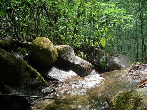
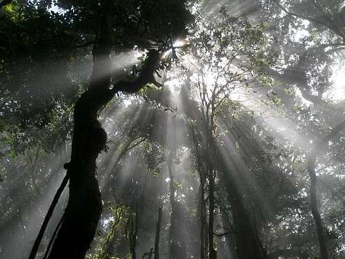
Celaque National Park is one of the many reserves in Honduras. It includes Honduras’ tallest peak, Celaque Mountain at 2849 mts. The park is 66,700 acres (270 km2) and ranges from 1,000-2,849 mts above sea level. Celaque’s terrain is very rugged. 2/3 of the area has a slope greater than 60O. The Park is classified as a cloud forest with a mean precipitation of 1600 mm at lower altitudes and a mean of 2400 mm at higher altitudes. Not surprisingly “Celaque” to the natives means “box of water.” Celaque’s nine rivers supplies water to 120 villages near by including the district capital of Gracias. Celaque is high in biodiversity and is home to jaguars, pumas, ocelots and Bolitoglossa Celaque, an endangered newt found only in the mountains of Celaque.
A convenient cabin is located near the entrance to the park with all the basic amenities (bring food, bedding, etc) and there is another one half way up the mountain but don't plan on staying there as it is very basic with sheet metal and little else.
Celaque has 3 principal peaks El Gallo, Guatemalillo and Las Minas highest point. While technically not a difficult mountain to summit, it does take a couple of days of walking to get there and back from Gracias. To climb the 3 peaks is needed several days. The trail follows one of the many rivers who's headwaters begin on the mountains slopes.
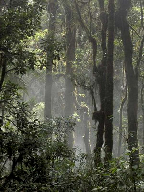
3 peaks are totally cover with big trees and plants, forget extensive views just closer points.
Getting There
Catch a bus to Santa Rosa from Ocotepeque (2 hours), Copan (4 hours) or Tegucigalpa (10 hours). Next to Gracias (2 hours) in chicken buses every 30 minutes. 4 am - 5 pm. On the main street from Gracias just go directly to the entrance of the park hiking 6 kms, on taxi or in the famous "tuc tuc" (15 USD).
Red Tape
A little fee to entrance. 3 USD
Camping
Tent is necesary if you want to spend the night. I saw 3 areas to camping (San Marcos, El Naranjo and very far El Quetzal) no one has facilities. If you need water you have to carry on from any closer river.


External Links
peakbagger vagoscribe My own site