
-
 9195 Hits
-
 73.06% Score
-
 3 Votes
|
|
Mountain/Rock |
|---|---|
|
|
36.62820°N / 118.37511°W |
|
|
Hiking |
|
|
Summer |
|
|
12332 ft / 3759 m |
|
|
Overview
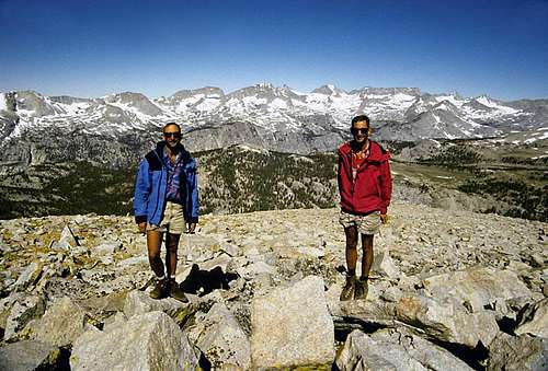
Tawny Point (12,332 feet)Sequoia and Kings Canyon National Park
Sierra Nevada, California
U.S.A.
Tawny Point is a fairly insignifcant hump just west of the Sierra Crest, north of Mount Whitney and south of Tyndall. It is class I from all directions. So why does such an insignificant hump deserve its own page on Summit Post? Because of the magnificent view!
Tawny Point has one of the best panoramic views of any summit the entire Sierra Nevada.
The magnificent panorama from the summit of Tawny Point
Looking across the Kern Basin toward the Great Western Divide
Getting There
Tawny Point rises above the John Muir Trail near the Bighorn Plateau. There is no easy way to get there. I would guess that most people pass by Tawny Point on their way to Mount Whitney via Shepherd Pass, or during a hike down the John Muir Trail from Forester Pass.Routes
Take your pick. Class I from all directions.Camping
There is plenty of excellent camping at a "no name" lake on Bighorn Plateau.