
|
|
Mountain/Rock |
|---|---|
|
|
36.95691°N / 118.52233°W |
|
|
Fresno County |
|
|
Hiking, Mountaineering, Scrambling |
|
|
Spring, Summer, Fall |
|
|
12719 ft / 3877 m |
|
|
Overview
Marion Peak towers over upper section of the wild South Fork Kings River valley along with its closest neighbors, Mt Ruskin and Arrow Peak. Marion Peak is one of the 248 list peaks designated by the Sierra Peaks Section of the Sierra Club Angeles Chapter. One of the more remote peaks in the High Sierra, the mountain is relatively easy to climb, albeit after a long approach from any direction. But the views are well worth it.The first credited ascent of Marion Peak in 1902 is attributed to Joseph N. LeConte, the University of California, Berkley engineering professor and noted Sierra explorer. LeConte named Marion Lake after his wife, Helen Marion LeConte, who accompanied him during his 1902 exploration of the South & Middle Forks of the Kings River area. It is uncertain whether he named the peak as well or if the peak received the name through association with the lake. A plaque mounted by the lake shore commemorates Helen, who participated in a number of impressive climbs including the first ascent of Split Mountain (other sources name an earlier first ascent).

Marion Peak's north face from Dumbbell Pass (Aug 09)
Getting There
Marion Peak can be approached from a number of different directions depending on the itinerary. The closest trail head approach is via the Taboose Pass trail but easiest access is available to those hiking the John Muir Trail. Entry into this region is also available from the west, albeit a bit longer. Finally, a couple of more obscure routes are available to the more adventurous.Routes
There are a number of easy scrambling routes up Marion and probably a few undocumented routes that are more technical in nature. NE Ridge from Cartridge Pass (photo by Bob Burd, Aug 09)
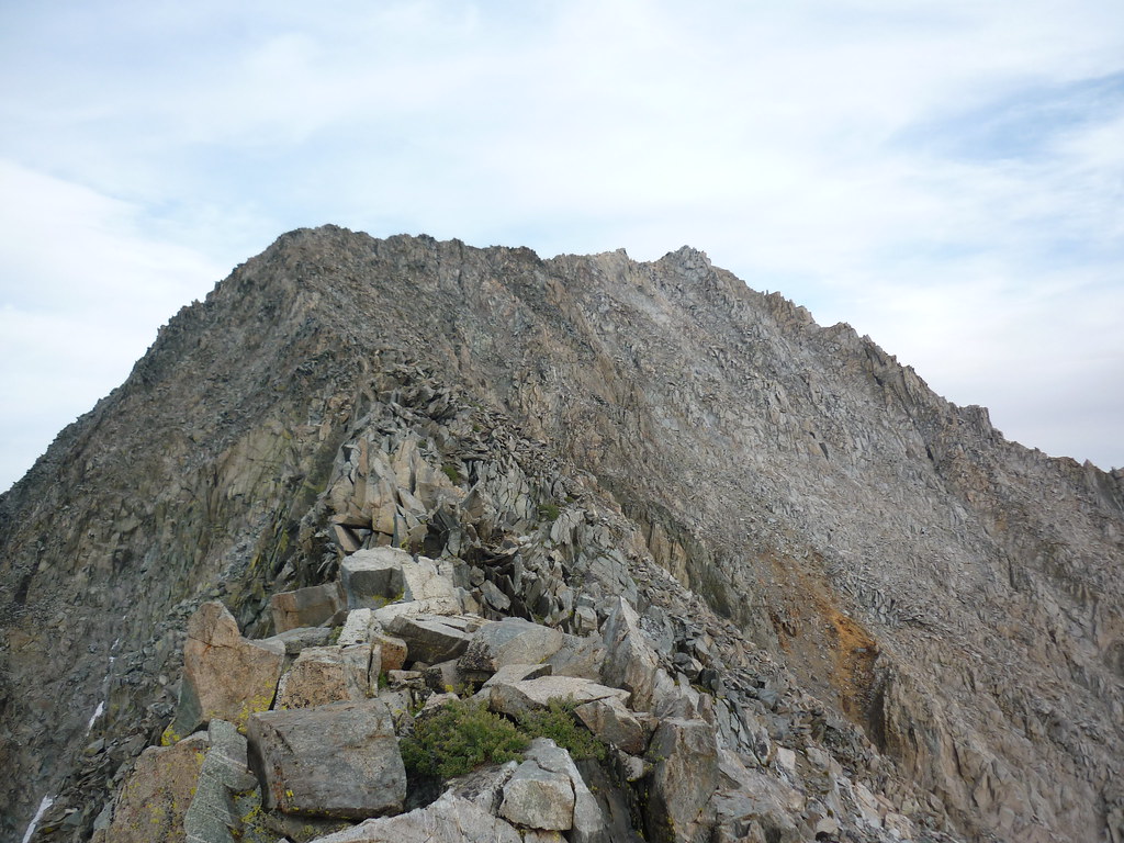
 | The easiest route to the summit is along the NE ridge and is rated class 2. The ridge can be gained from either Cartridge Pass and traversing atop the Cirque Crest, or traversing along the south side of the crest from the basin south of the pass, or by climbing from Marion Lake to the low point along the ridge. |
 Northwest Ridge during the descent (Aug 09)
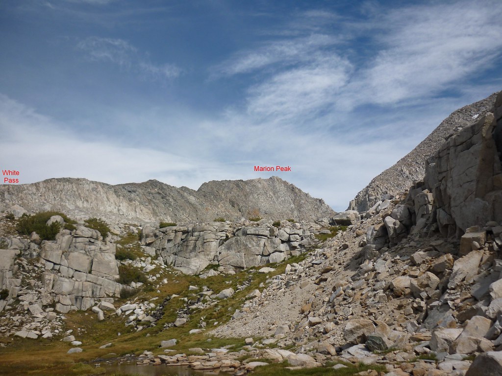
 | The Northwest ridge begins at White Pass or Red Pass (along a spur). With the exception of a short but fun exposed class 3 ridge top (easily bypassed on the south side), the ridge is standard class 2 formula talus |
The south face is made up of loose talus and can be climbed from either the South Fork or by traversing over Cirque Crest from either side. | |
 Southwest Face & Ridge (Aug 09)
 | Other possible routes include the SW ridge and the North Buttress. The SW ridge appears to be most easily gained from the basin directly west of Marion (a traverse from Pk12444 looks possible with one technical section). RJ Secor reports the North Buttress as “alleged grade III, 5.10” and it certainly looked it! |
Red Tape , Camping, and Conditions
Everything you need to know about permits, regulations, and driving directions can be found on the Eastern Sierra - Logistical Center page. While overnight hikes require a wilderness permit, day hikes can be done without red tape.Climbing can be done in almost any season but May through October are the most popular times. In heavy snow years, the chutes and slopes may hold residual snow. This is also true for any of the routes over the Sierra Crest. Check for current weather.
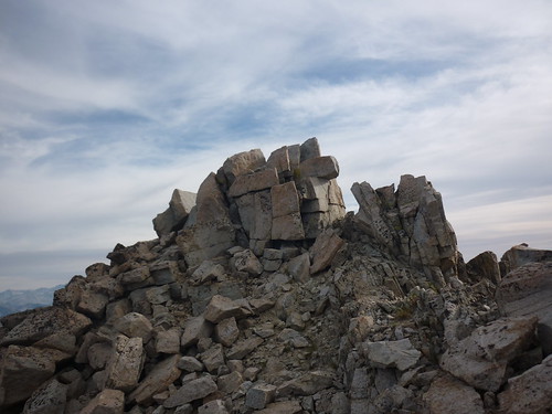
Approaching the summit (Aug 09)
External Links
Trip Reports:2009 Sierra Challenge Day 6
Climber.org reports
Pictures:
Matthew Holliman’s photos including the West Ridge
My pics & summary