
|
|
Mountain/Rock |
|---|---|
|
|
39.29650°N / 119.60325°W |
|
|
Storey |
|
|
Hiking, Scrambling |
|
|
Spring, Fall, Winter |
|
|
6442 ft / 1964 m |
|
|
Overview
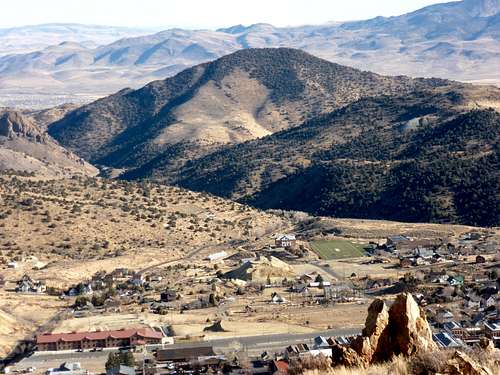
Emma Peak from Mount Davidson with Virginia City below
Emma Peak is a hidden gem, located in the Flowery Range, an offshoot of the Virginia Range of Northwest Nevada. It is the highest point on the Flowery Ridge, a 5-mile long ridge east of Virginia City, which rises up to the north above Dayton, NV and US Highway 50. The "Flowery Ridge" should not be confused with the much longer (and larger) ridge where the higher summits of the Flower Range are located. Emma Peak is actually on the south side of Six Mile Canyon Road, and follow a parallel ridge heading east.
It is easily accessed from the cities of Reno and Carson City, and the route to the summit is located on mostly public lands, so there are no access issues. Dirt roads lead up to the base the summit.
Emma Peak can be hiked in a few hours, and makes a great combination with nearby Rose Peak 6291’ and Mount Grosh 6351’ just to the southwest. Several other nearby summits can be hiked around these mountains, such as Flowery Peak, and the spectacular Sugarloaf rock formation to the south.
Emma Peak from the ridge to the southwest
The best time to hike up Emma Peak is probably late fall/early winter (November, December, January). Mud can be an issue during springtime which is the wetter season. During summer, temperatures are far too high.
Getting There
From Reno, Nevada take 395 to exit 57B, or take exit 61 (Virginia Street) and drive south. Either way leads to Highway 341, the Geiger Grade. The Geiger Grade is a mountain pass road from Reno to Virginia City. It winds through the hills of the Virginia Range for about 15 miles after leaving Virginia Street in south Reno. Once in Virginia City, look for signs to Six Mile Canyon Road. This is a narrow paved road that leads from Highway 341 to US Highway 50 in the Dayton Valley. The parking area is a dirt road about 1 ½ miles down the road from Virginia City. The dirt road is located on the north side of the Six Mile Canyon road (left side of the road if coming from Virginia City). Find a place to park on the dirt road, just past the pavement.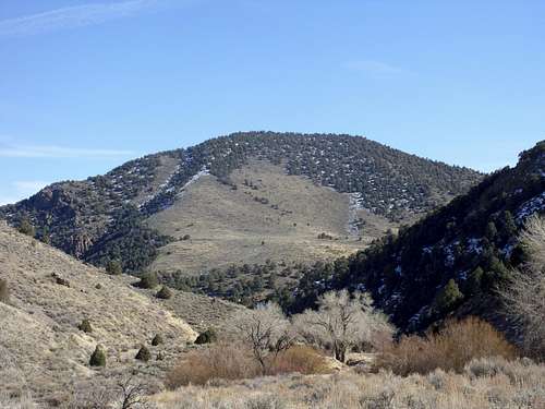
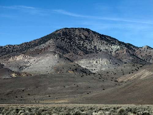
Emma Peak west face from the trailhead.
There are a couple other alternative routes. From the south via US 50 in Dayton, take Sutro Tunnel Road until passing neighborhoods. From there, you can hike up to the ridge between Emma Peak and Rose Peak. Emma Peak can be hiked 5 miles round trip gaining about 2,000'.
Emma Peak from the south/southeast from US 50
Another alternative is to park at a round about on 341 about 1.3 miles north of the 341/342 junction. The coordinates are 39.2725, -119.6261. From here, a road leads to a ridge which goes over Mount Grosh. This starting point is ideal if wanting to hike Grosh, Rose, and Emma in one day. That requires 5 miles round trip and about 2,000' total elevation gain. Kate Peak 6,120' can be added as well for a 6 mile round trip hike, adding another 230' of gain.
Route Description
For the primary route, once at the parking area, get back on the paved road and take a left, following it for just under ½ mile until you reach a dirt road on the right, with a metal gate. Walk around the metal gate and follow the road for about ¼ mile until it makes a 180 degree turn. You will see another road on the left just below it. This is the road to take up the mountain. Once on this road, follow it for about ¾ miles and there is another road cutting uphill on the right. Take this road as it heads away from Emma Peak. It will eventually turn around and head back uphill, and cuts towards a ridge between Rose Peak on the left and Mount Grosh on the right. It ends at a t-junction with another dirt road. Take a left on this road and follow it towards Emma Peak. Before the road descends, get off the road and head directly for a rocky ridge which slopes up to the summit of Emma Peak. Rather than heading directly up the ridge, you can head up a more gradual slope on the south side of the ridge. This will eventually take you up to the ridge, and onto the summit.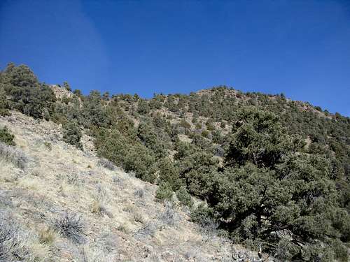
Heading up the final rocky slope to the summit
By going this way to the summit, it is almost 3 ½ miles one way, with an elevation gain of about 1200’. You can descend straight down the face of Emma Peak, heading generally to the right, which makes for a reasonable, albeit steep, descent (ascending Emma Peak this way is not recommended, as it is pretty sandy and traction is not very good). In total, hiking this way is about 5 miles round trip. On the way there, you can easily make a detour and bag Rose Peak and Mount Grosh, which will only add 1 ½ miles to the hike and about 750’ of elevation gain.
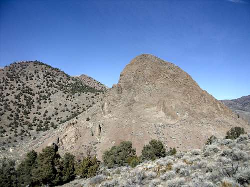
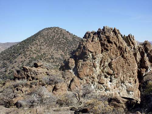
View of Sugarloaf rock formation on the descent