
|
|
Mountain/Rock |
|---|---|
|
|
36.88430°N / 81.5098°W |
|
|
Smyth |
|
|
3270 ft / 997 m |
|
|
Overview
Molly's Knob is the highest point within Hungry Mother State Park. It also stands out significantly from the other summits within its immediate vicinity. At its base is a lake that is one of the centerpieces of the park and of which one gets a pretty good view of from various vantage points along the trail to the summit of Molly's Knob.The peak is named for one Molly Marley. According to various local legends, Molly Marley and her very young daughter were taken captive by a band of marauding Indians waging war against the Europeans settling in the New River area. At some point Molly escaped with her daughter in tow and they survived for a while as they made their way through the mountains by eating berries. Eventually the child wandered out of the forest and happened upon some European rescuers. Her only words were "hungry mother" and, searching, her new-found friends located the starved body of her mother lying along a creek.
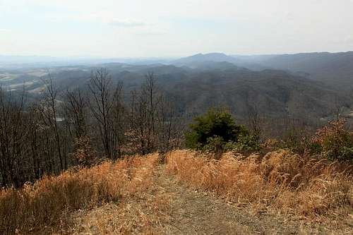
This is the reward for hiking to the top.
Hungry Mother State Park was one of the first few CCC projects in the 1930s. This program ended up creating many parks and National Forest Recreation areas. Today we who love hiking and backpacking travel along the infrastructure initially developed by the Civilian Conservation Corps. Much of their work stands as solidly today as it did when they first completed it. The entire park is a testament to their hard work and to the hard logic that resulted in setting up the program.
Getting There
To get there, take Exit 47 from Interstate 81. Travel approximately one mile on Route 11 toward Marion. Turn right on Route 16 north and travel four miles to the park.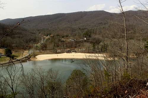
As seen from a viewpoint along the Molly Knob Trail.
Route
I used the Molly's Knob Trail that ends short of the summit where you must hike the Vista Trail to reach the top of the peak. Round trip distance for this route is four miles with about 1,100 feet of elevation gain.From the park literature:
The Molly's Knob Trail is a 1.6 mile, difficult trail, that takes users from a parking lot near the group lodge up to the top of Molly's Knob. The trail gradually becomes steeper and narrower while you ascend and is fairly hard before reaching the summit which is the park's highest point at 3,270 feet.
Vista Trail is a short but steep 0.4 mile trail that takes users from Molly's Knob Trail to the highest point in the park - Elev. 3270'.
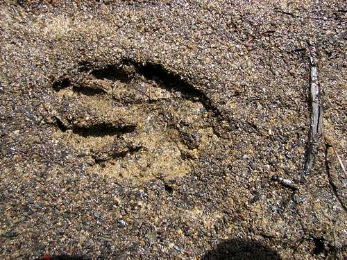
Raccoon track along Hungry Mother Creek.
Red Tape
Park entrance and use fee of $3.00 per vehicle. No camping except in the established campground.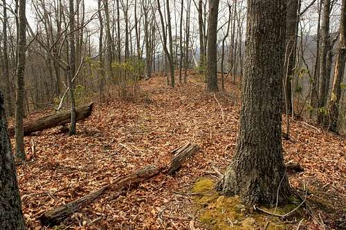
This is a stretch of the old, abandoned trail that followed the ridges and knobs to the summit. The new trail is, to me, over-engineered, almost like walking a road.
When to Climb
All year.Camping
Only at established State Park campsites.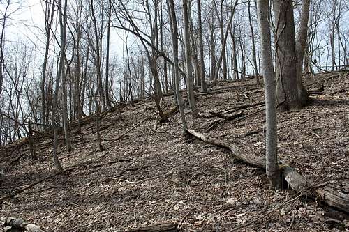
Forest floor littered with deadfall and last Autumn's decaying leaves.
External Links
HUNGRY MOTHER STATE PARK.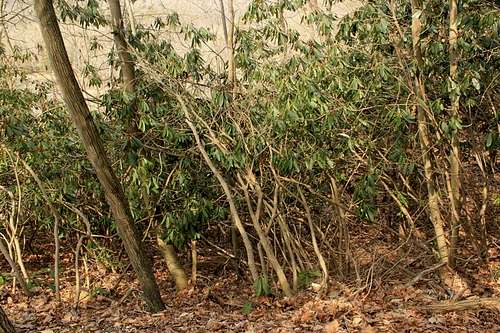
A rhododendron hell along the Molly Knob Trail. Thankfully you don't have to bushwhack through that mess.