
-
 7879 Hits
-
 78.7% Score
-
 10 Votes
|
|
Mountain/Rock |
|---|---|
|
|
38.31600°N / 106.7169°W |
|
|
Saguache |
|
|
Hiking |
|
|
Spring, Summer, Fall, Winter |
|
|
11530 ft / 3514 m |
|
|
Overview
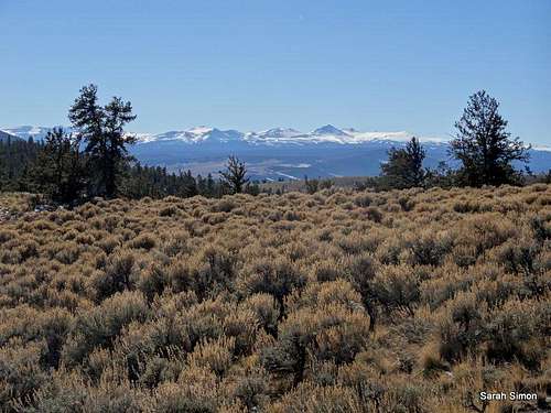
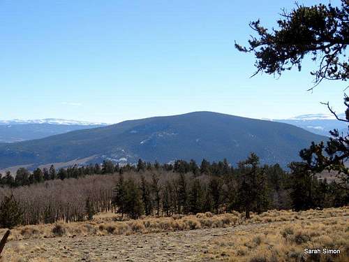
Views to the Southwest
The Cochetopa Hills are an interesting area considered an odd sub-range of the San Juan Mountains. Sitting west of the Sawatch and south of the Elks, much of the Cochetopas are different in character than neighboring ranges. The lower reaches of Razor Creek Dome area covered in dust and defragrant sagebrush; higher up are dense stands of aspen and tall, slender douglas fir. While views from the summit proper are limited, views from open glades en route to the top are expansive.
Rank: 1,539th highest peak in Colorado
Prominence: 1,310 feet
USGS Quad: Razor Creek Dome
Planning Map: Trails Illustrated #139 La Garita | Cochetopa Hills
Getting There
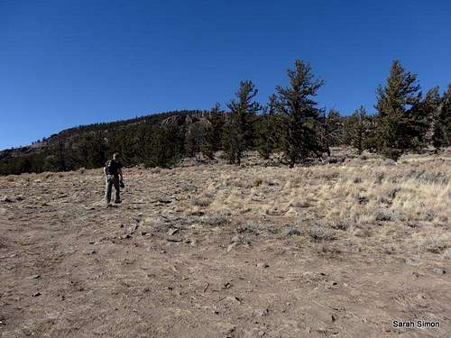
Hiking northwest
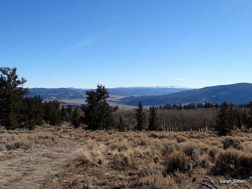
Looking southeast
•From US 50, travel 21.8 miles on CO 114
•Turn north/left on Route #3121 (BLM land) – from, here, you may park and walk or continue to drive, depending on road conditions, vehicle and personal preference.
Route

Dense aspen

South summit ridge

Cochetopa Hills background

Old path remnant

Grassy slopes

Looking up from plateau
The route stats below are from CO 114. Distance and elevation will decrease if you drive further on the BLM and Forest Service roads, weather and vehicle dependent.
•Roundtrip Distance: 10 miles
•Elevation Gain: 2,500 feet
•YDS: 2
•The cattle guard / gate marks the transition from BLM land management to Forest Service and the road number changes to FSR 579 and the road will become rougher; continue on the main artery when the road turns sharply to the north.
•Using the map, take your pick of spur roads marked 580.# to reach the road highpoint immediately southeast of the peak.
•The “580 spurs” rejoin around 10,400 feet elevation southeast of Razor Creek Dome; a broad trail continues toward the peak through the grass.
•And old road bed switches back and forth across the first series of tighter topo lines – either follow the road or cut directly up the grassy hill into the trees.
•Upon reaching the plateau at about 11,000 feet elevation, the trail becomes less distinct. Head northwest across a meadow reach another band of trees and steeper terrain.
•Keeping toward the southern summit ridge you may find more trail remnants.
•Continue north to the summit, marked by a cairn and a communications tower.
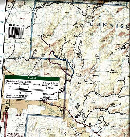
Simple route map adapted from Trails Illustrated #139 La Garitaa | Cochetopa Hills
Red Tape | Land Management
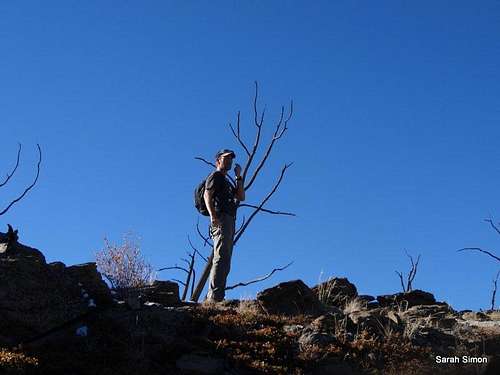
On the south ridge
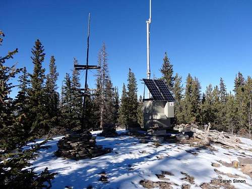
The summit of Razor Creek Dome
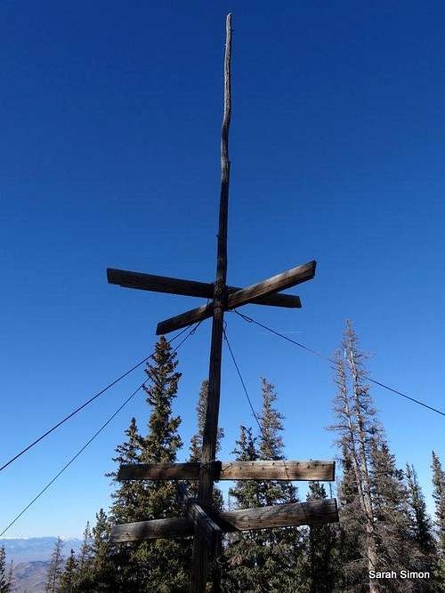
Radio tower sign
Weather and Seasons
Summit structure

Down the south ridge

Summit register
 Click for weather forecast | Expect warm, dusty, sunny summers in this area. Autumn brings dry days that are either warm and sunny or cool and crisp. The Gunnison area is known for relatively cold, windy, brutal winters, so while this part of the Cochetopa Hills may be more welcoming than the high country of the nearby Sawatch or the main body of the San Juans, don’t come here in winter or spring expecting tropical conditions. |  Click for weather forecast |
Camping, Lodging and Nearby Services
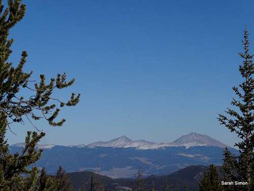
Cochetopa Dome (11,132 feet)
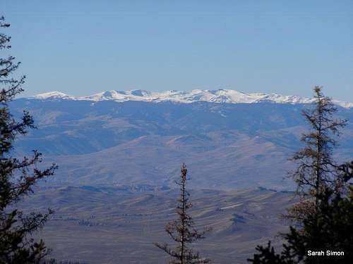
The San Juan highcountry
Nearby high peaks
External Links
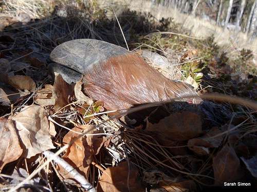
Elk hoof