
-
 15622 Hits
-
 81.53% Score
-
 14 Votes
|
|
Mountain/Rock |
|---|---|
|
|
39.63580°N / 106.0036°W |
|
|
Download GPX » View Route on Map |
|
|
Summit |
|
|
Hiking |
|
|
Spring, Summer, Fall, Winter |
|
|
11441 ft / 3487 m |
|
|
Overview
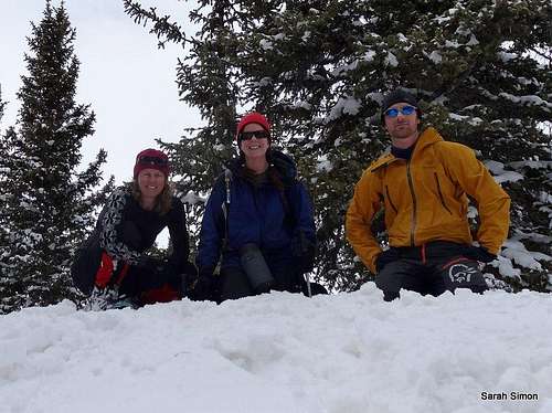
On the summit with friends
Rank: 1583rd highest peak in Colorado
Prominence: 461 feet
USGS Quad: Dillon
Planning Map: Trails Illustrated Map #108 Vail, Frisco, Dillon
Rank & Prominence: Lists of John
Getting There
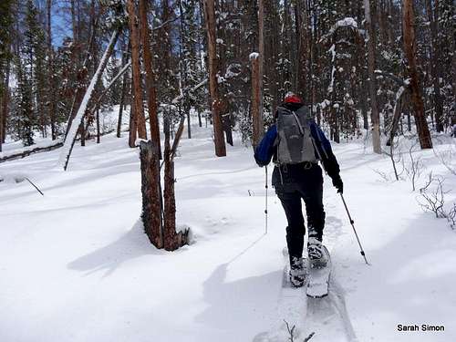
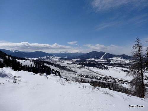
In the trees
Western Slopes / Ridge
Directions Per the Summit County Explorer :
Take I-70 to exit 205 (Silverthorne) and then follow route 6 east for a little over a mile to a traffic light at the intersection of Evergreen Rd. and Lake Dillon Dr. (Lord of the Mountain Lutheran Church is on your left.) Turn left at this light and make an immediate right onto County Road 51. You will see a water tank on your right. Continue just past the Dillon Water Treatment Facility to a parking lot on your right. The trail starts here at the eastern edge of the parking lot.
The trail meanders upward for about 1.25 miles to a sign marking the trail's end at about 9885 feet. From here, follow the attached GPX route eastward along a gentle ridgeline to the summit.
Frey Gulch Jeep Road
According to this trip report on Lists of John, a steep Jeep road ascends the east side of Tenderfoot Mountain via Frey Gulch.
Northern Slopes
The topo map suggests there may be a route from the north, though I have no beta on this option.
 |  |  |  |
Red Tape
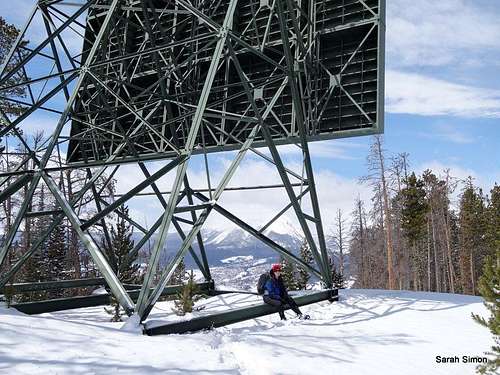
Resting at the thing
No idea
Weather and Seasons
 Click for weather forecast | Tenderfoot Mountain is a year-round peak. In thesummer, take a break from windsurfing Dillon Reservoir to enjoy cool breezes atthe summit of Tenderfoot Mountain. In the fall, the air turns crisp and theAspen blaze golden. Winter is a fine time to visit this peak, but remember thatthe nearby ski resorts were developed in this area in part due to the generoussnowfall. Anticipate deep powder and don’t be at all surprised to be breakingtrail, even before leaving the trail behind for the bushwhack to the summit. |  Click for weather forecast |
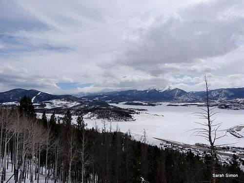
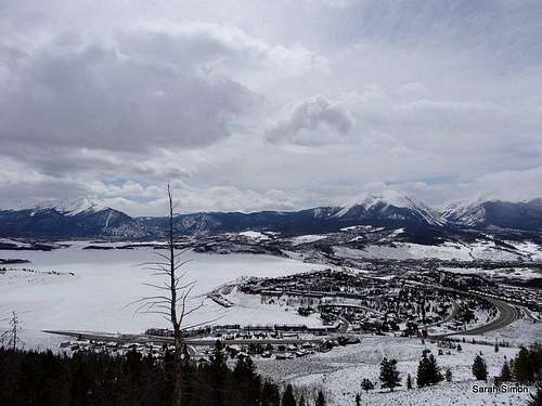
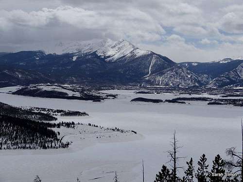 Dillon Reservoir | 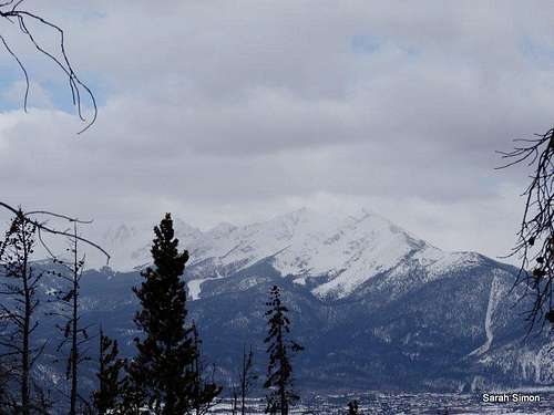 High country in the clouds |
Camping
Dillon Reservoir
There are nearly 350 campsites in the Dillon Reservoir area. Most of them are closed from early September through mid May. Below are five “east shore” campgrounds operated by the National Forest Service.
| Campground | Commentary | ||
| Lowry Campground | Site has 24 camp sites at 9,388' elevation. Amenities: Vault toilets, water and garbage service. Fees are $16 per night, plus an additional $5 for an electric site. | ||
| Prospecter Campground | Site has 106 camp sites at 9,117' elevation. Amenities: Vault toilets, water and garbage services. Fees are $16 per night. | ||
| Peak One Campground | Site has 79 camp sites at 9,050' elevation. Fees are $17 per night. Amenities: Vault toilets, water and garbage service. | ||
| Windy Point Campground | Windy Point is available for group camping only and reservations are required (877.444.6777). | ||
| Pine Grove Campground | Site has 33 camp sites at 9,062' elevation. Fees are $15 per night, plus an additional $5 for an electric site. Amenities: Vault toilets, water and garbage service. |
External Links
Views to the west from the western slopes
Another view of the reservoir