Overview
Located just outside of Placerita Canyon State Park, Los Pinetos Peak is a highpoint along the Santa Clara Divide Road. Host to an array of communication towers, the summit affords generous views of the Santa Clarita Valley to the North, Los Angeles to the South, the San Gabriel Mountains to the East, and the Santa Monica Mountains and Pacific Ocean to the West. Although it is not on any peak lists, it is quite a pleasant hike, offering a window into several ecological zones.
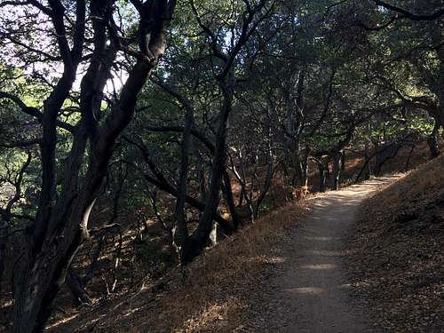
![The trail leads through shaded oaks on its way up the mountain.]() The trail leads through shaded oaks on its way up the mountain.
The trail leads through shaded oaks on its way up the mountain.
Most commonly accessed from Placerita Canyon via a 7.5 mile loop, Los Pinetos Peak makes for a great energetic morning hike (back before lunch), or you can pack a lunch and spend all day exploring the areas you pass through, which include chaparral, woodlands, and seasonal streams.
Getting There
Placerita Canyon State Park is located at 19152 Placerita Canyon Road, accessed easily off of Highway 14 via the Placerita Canyon exit. It can be reached from the Los Angeles area to the South, or from the North via highways I5 or SR14.
Route
Follow the Canyon Trail East for two miles from Placerita Nature Center to the Walker Ranch area. It follows a stream for a time, and gently begins to climb.
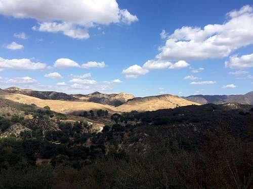
![Views appear after beginning to ascend along the Canyon Trail]() Views appear after beginning to ascend along the Canyon Trail
Views appear after beginning to ascend along the Canyon Trail
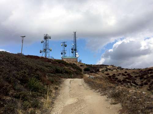
From here, take the Los Pinetos trail South, back and forth through the oaks up to Wilson Saddle in another 2.35 miles. Conveniently, there is a bathroom here. From here, follow the dirt road SW up to the radio towers at the summit.
Radio towers coming into view
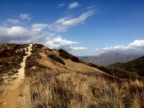
From here, You can either return the way you came or take a use trail NW back to the Whitney Canyon dirt road (West of where you intersected it at Wilson Saddle), then descend NW along a firebreak. It is at times a bit steep and dusty, not enough to be dangerous, but enough to send the feet out from under a distracted hiker.
![Descending along the firebreak]() Descending along the firebreak
Descending along the firebreak
After a couple of miles, you will join the Manzanita Mountain Trail, which leads you back to the nature center after another .9 miles.
Red Tape
The Park opens at sunrise and closes at sunset.
When to Climb
Spring, Fall, and Winter are best; Summers can be prohibitively hot.
Camping
None allowed.
External Links
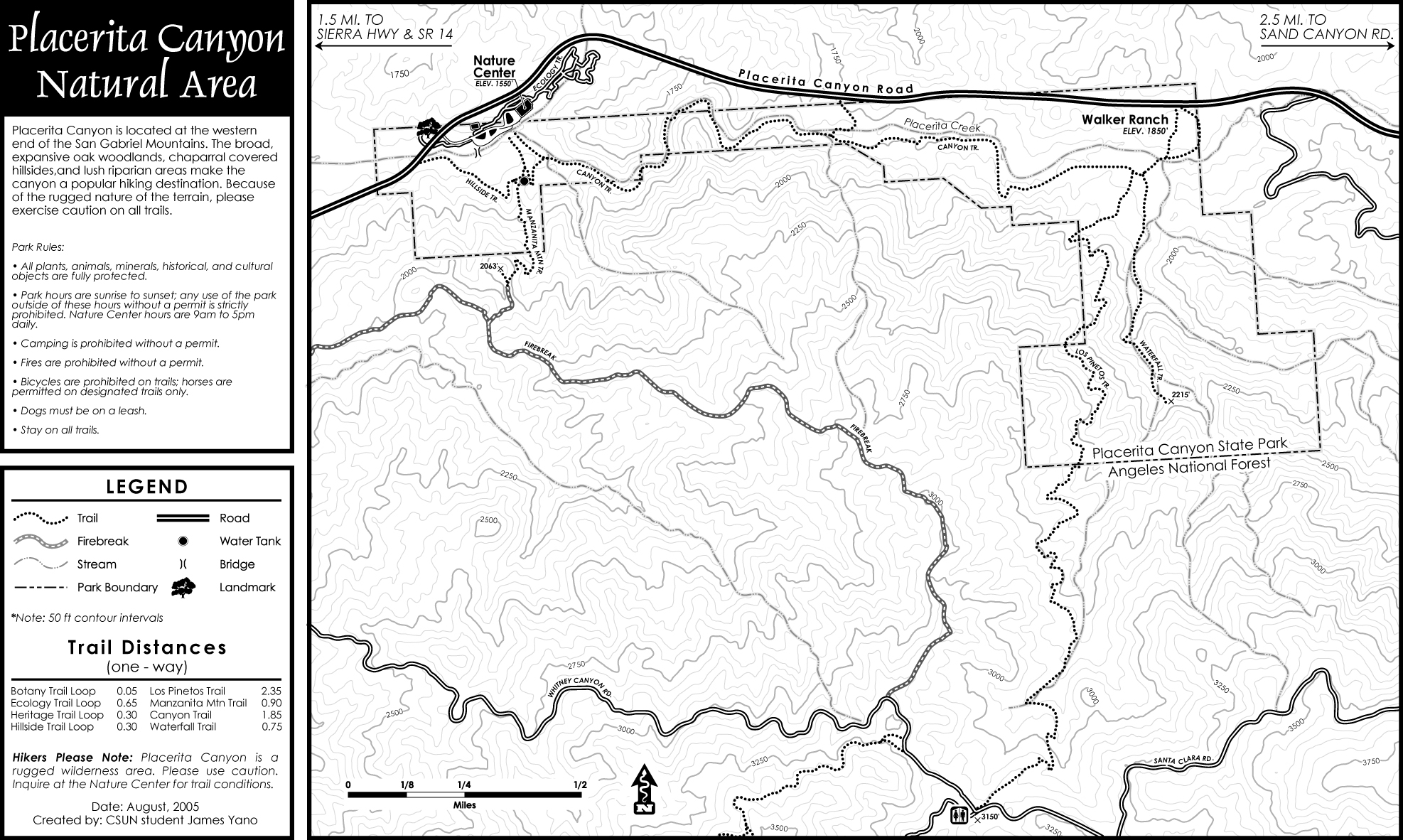
A map of the area can be found here:
Additional information about the area can be found at the parent website,
www.placerita.org
Peak Bagger page for Los Pinetos Peak:

 10392 Hits
 73.65% Score
 4 Votes