
|
|
Mountain/Rock |
|---|---|
|
|
47.41691°N / 120.36707°W |
|
|
Chelan |
|
|
Scrambling |
|
|
Spring, Summer, Fall, Winter |
|
|
2450 ft / 747 m |
|
|
Overview
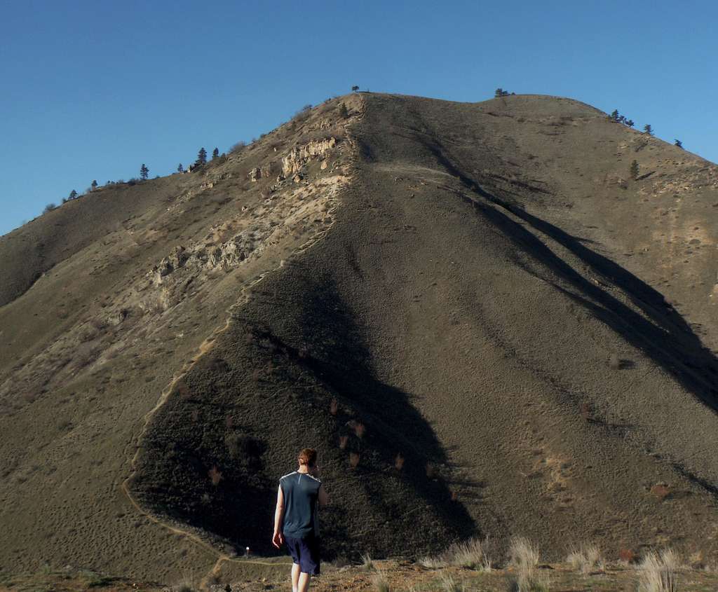
Looking up Chopper Peak from Castle Rock (3/8/15)
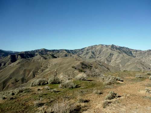 Horse Lake Mountain from the summit of Chopper (3/8/15) | 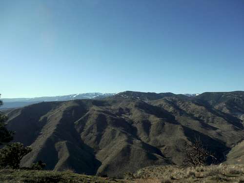 The Mission Ridge area from the summit of Chopper (3/8/15) |
Don't let Chopper's 2450 foot height deter you from heading up to this summit. The summit of Chopper Peak contains commanding views of Saddle Mountain, Horse Lake Mountain, and even parts of Mission Ridge. It offers a towering view over Castle Rock and towards sprawling Wenatchee and off to the north. Though the bulk of the route will be talked about in the route part of this it should noted that the boot-path that heads up from Castle Rock is very steep and can have very poor footing depending on what time of year this mountain is attempted. Because this mountain is becoming more popular I would not be surprised if an alternative route gets put on Chopper in the next couple of years.
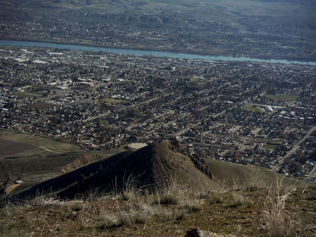
Looking down into Wenatchee (3/8/15)
Getting There
The Castle Rock Trailhead is located in the western section of the city of Wenatchee. From Miller Road, one of the main roads in Wenatchee look for Castlerock road and then head west all of the way to the base of the mountain. There is a small parking area there with a nice place to sit there.Route
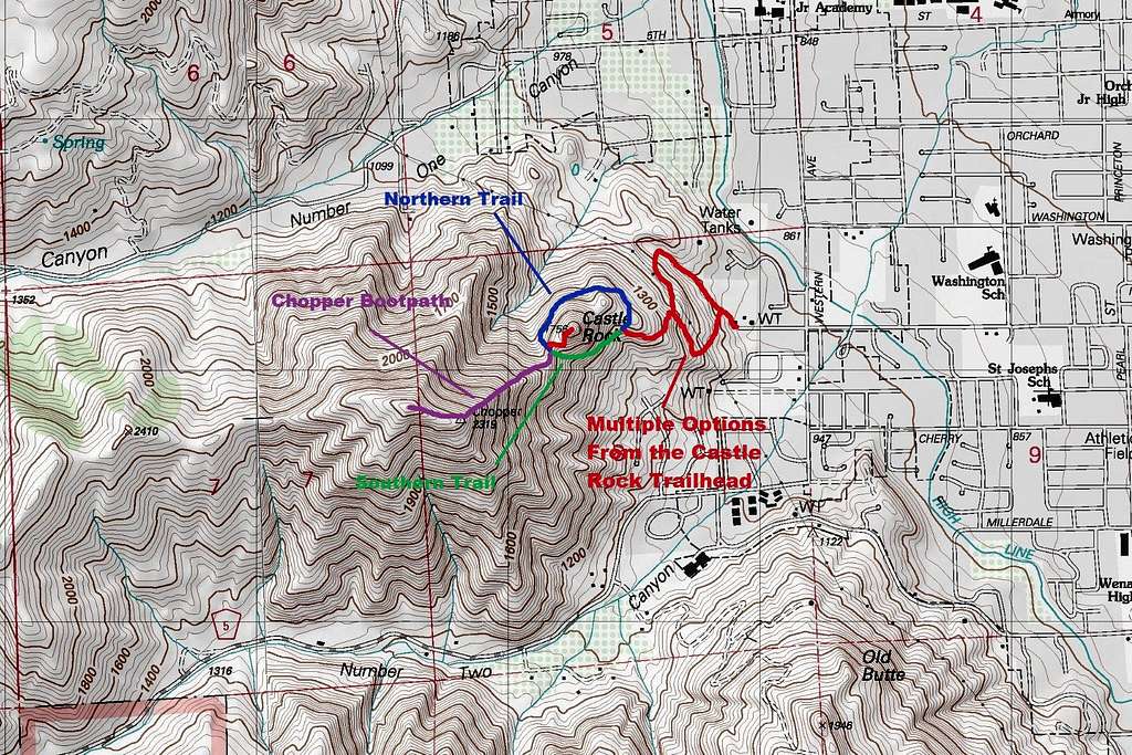
Map of the Route up Chopper Peak
Chopper Peak
3 miles
1400 feet elevation gain
In order to get to the base of Chopper you have to go around the base of Castle Rock. There are a large amount of trails here a number of maps as well in order to help you figure out how to traverse around Castle Rock. When you do traverse around Castle Rock it is best to traverse around the south side. The north side has poor footing in place and is a bit exposed. Once you get in the gap between Castle Rock and Chopper the obvious steep boot-path will be right in front of you. This path is VERY STEEP and has very poor footing. In winter if there is snow an ice axe is recommended and traction devices. Muddy conditions can make this trail even more nasty and an ice axe can still help during this time. Even in summer this peak can be not much fun in terms of footing to head up. Once up over the steep section the grade lessens and soon you are on the true summit of Chopper Peak.
![Please follow the sign]()
Please follow the sign
This is private property. NO DOGS OR OVERNIGHT CAMPING IS ALLOWED. Parking is from dawn to dusk.
Red Tape
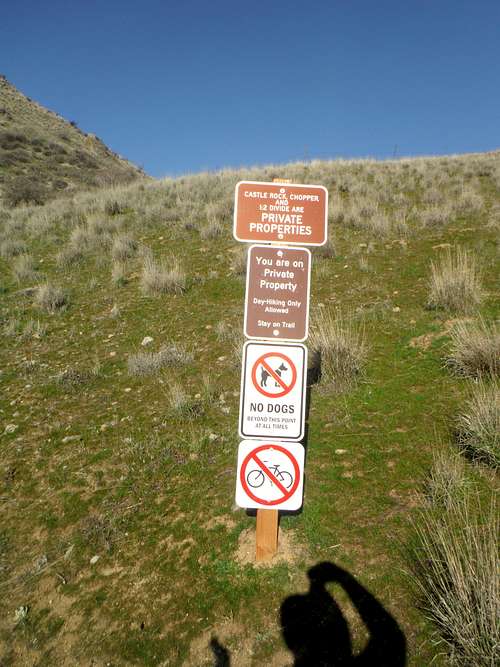
Please follow the sign