
-
 7639 Hits
-
 83.69% Score
-
 17 Votes
|
|
Mountain/Rock |
|---|---|
|
|
39.18230°N / 122.784°W |
|
|
Lake |
|
|
Hiking |
|
|
Spring, Summer, Fall, Winter |
|
|
4772 ft / 1455 m |
|
|
Overview
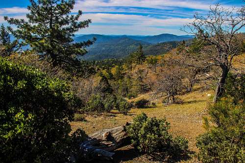
Southeast from Windy Point area
Windy Point is definitely a worthwhile objective and one of the prominent peaks beyond the north end of Clear Lake. It has outstanding views especially to the east and south.
Getting There

Bartlett summit, 16N01 goes left here
From the northeast From the junction Of Hwy. 29 west of Upper Lake take Hwy. 20 7 miles southwest along the lake shore just past Nice to the Bartlett Springs Road.
From the east: From the junction with Hwy. 53 just east of Clearlake Oaks take Hwy. 20 16 miles northwest along the lake shore to Bartlett Springs Road.
Drive up Bartlett Springs Road as it winds up for 6.1 miles to Bartlett Springs Summit. At that junction take forest road 16N01 which goes to the left and follow it 1.3 miles to a T in the road at the Batrlett Mtn. summit ridge.
Go left at the T (right is 16N01, left is Deer Valley Rd.) about a mile on Deer Valley Rd. to a locked gate barring further passage and park off to the side.
Route


2nd Locked gate to Windy Point summit clearing

Road to Windy Point above
Red Tape

Posted signs
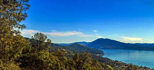
Clear Lake from Bartlett Springs Rd
Use your own discretion.
When to Climb
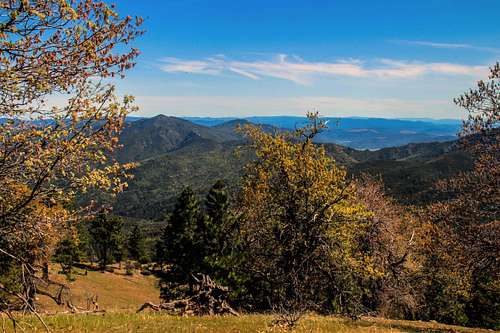
East from Windy Point
Camping
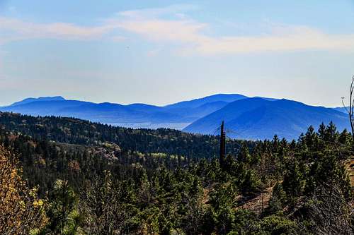
North from Windy Point
Current weather and forecast
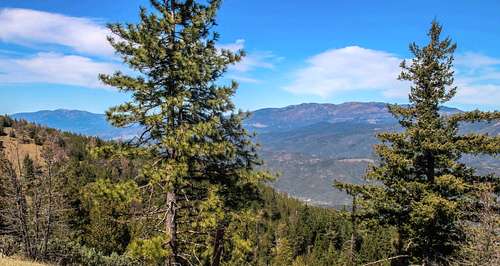
West from Windy Point area