
|
|
Mountain/Rock |
|---|---|
|
|
47.74600°N / 120.6489°W |
|
|
Chelan |
|
|
Hiking |
|
|
2860 ft / 872 m |
|
|
Overview
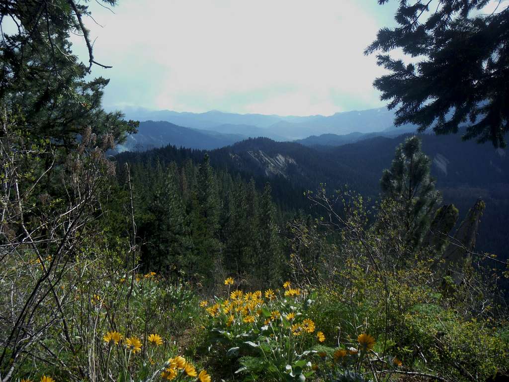
Looking south
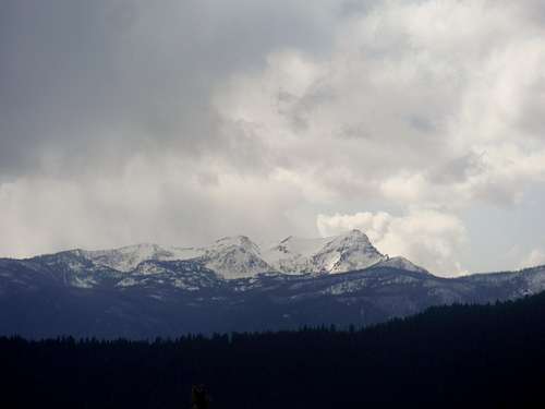 Storm on Wedge Mountain | 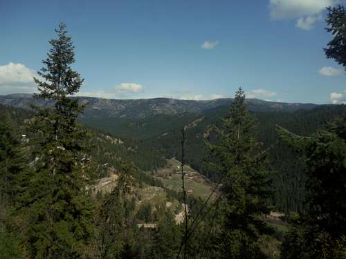 Chumstick Mountain |
These views include Wedge Mountain, some of the Enchantments and many of the other mountains in the region. Natapoc Mountain is the dominant peak located just to the west of Beaver Hill. There are also scattered views to the east towards the Chumstick Range as well. The best views from Beaver Hill are actually from the northern false summit. This false summit has been mistaken as the summit from many of the locals because it does have the best view. The of Plain from here is especially notable. But the main summit is clearly higher and does still have some views itself. Just a couple hundred yards from the true summit opens a field with excellent views to the south and west toward the Enchantment and of Blewett Pass. Bring your camera in spring because the balsamroot on this summit is some of the prettiest I have seen in the region.
If going north from Leavenworth take 209 north all the way into the gap (12.8 miles) and parking will be on your right.
If coming from Stevens Pass take US 2 20 miles east from Stevens Pass. Make a left onto Highway 207 and head east for 3.8 miles. You will see a sign for 209 and Leavenworth on your right. Make a right there and head 5.5 miles onto the town of Plain. From there head left at a bend in town and go 1.1 miles to the gap where the parking will be on your left.![Map of the Route]()
Map of the Route
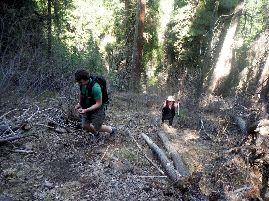
![Steep section of the trail]()
Steep section of the trail
![The towering Cascades]()
The towering Cascades
![Balsamroot Galore]()
Balsamroot Galore
This summit can be climbed at any time of year. In winter snowshoes may be needed if it is a heavy snow year. Snow tends to be gone by April and by late April in most years the balsamroot flowers are out. Though summer is popular for this trail, I personally would not waste a good summer day for Beaver Hill because it tends to get very hot during the summer months. The summer is also forest fire season and in the last 3 years this area has been tortured by forest fires. The fall days in this region tend to be nice but from I saw there was no vegetation like larches or aspen that really made this view so very special.
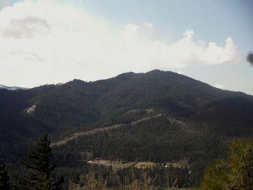 Natapoc Mountain; the nearby 2k prominence peak | 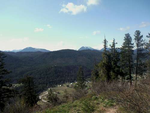 Looking at the town of Plain |
Getting There
The turnout to Beaver Hill is located off of 209 just 1.5 miles east from Plain. This parking is right in the gap between Beaver Hill and Plain Ridge.If going north from Leavenworth take 209 north all the way into the gap (12.8 miles) and parking will be on your right.
If coming from Stevens Pass take US 2 20 miles east from Stevens Pass. Make a left onto Highway 207 and head east for 3.8 miles. You will see a sign for 209 and Leavenworth on your right. Make a right there and head 5.5 miles onto the town of Plain. From there head left at a bend in town and go 1.1 miles to the gap where the parking will be on your left.
Route
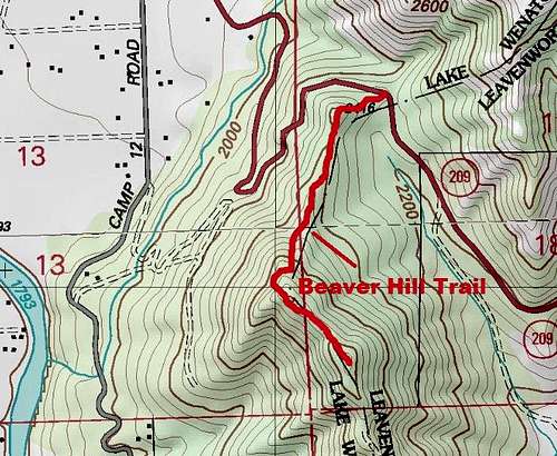
Map of the Route
This summit seems to be pretty popular with the locals because there is a decent trail up to the very top. There is also a very well defined parking on the north side of the pass where all you have to do is cross the road to the trail up Beaver Hill. The trail is unmarked yet easy to follow however it is steep in place and some care is needed on the steep sections.
Steep section of the trail
It should be noted that the trail does crosses a jeep path once one gets close to the false summit. Avoid this jeep path and stay on the trail up to the false summit. There are three prominent viewpoints on the way up and many people mistake the false summit (the second area with prominent views) to be the true summit. The trail then goes over the false summit drops down a bit before heading for the true summit.
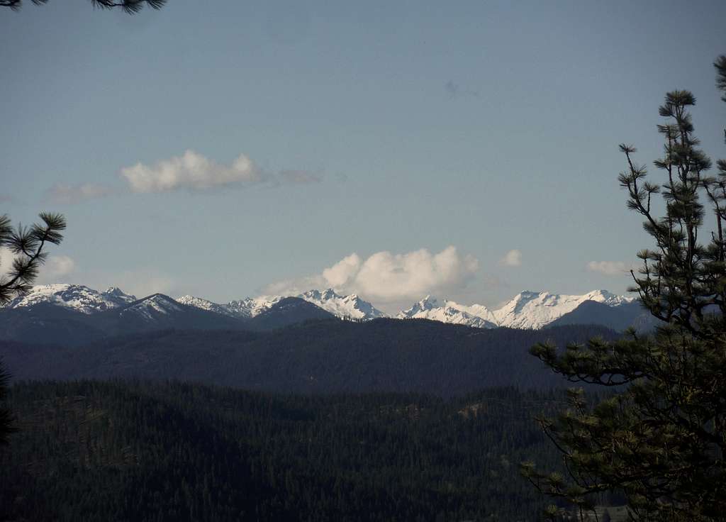
The towering Cascades
Red Tape
I did not see any red tape on this route.When to Climb
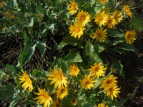
Balsamroot Galore
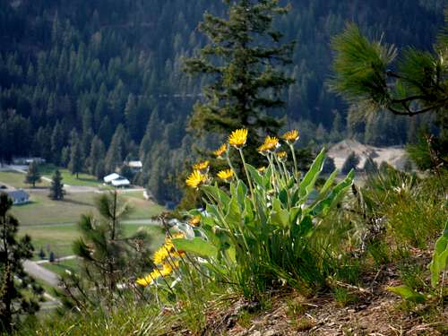 Balsamroot on the slopes of Beaver Hill | 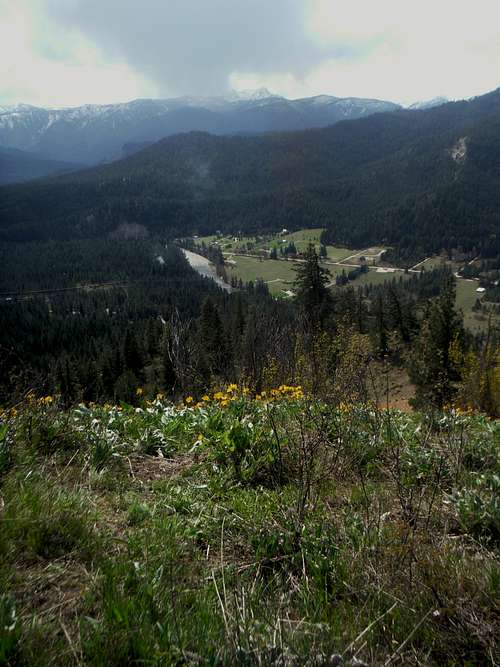 Flowers and the valley |