
|
|
Mountain/Rock |
|---|---|
|
|
46.52222°N / 121.64495°W |
|
|
Lewis |
|
|
5980 ft / 1823 m |
|
|
Overview
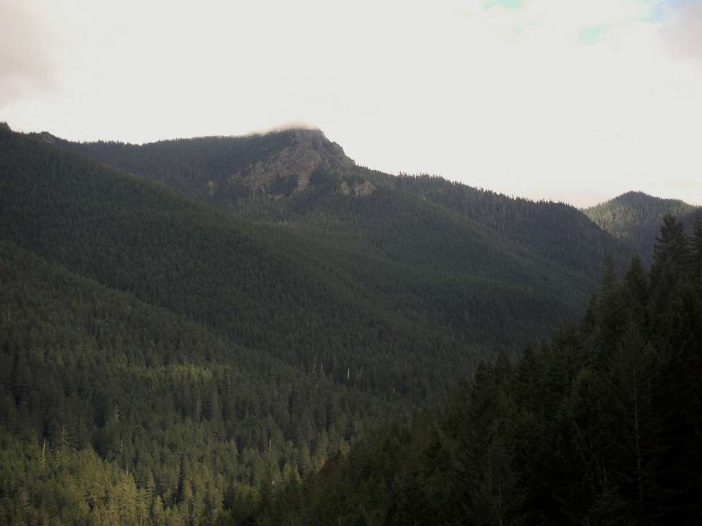
South Point from the road
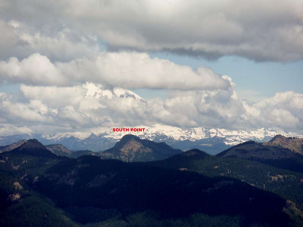
South Point from Hamilton Butte
What makes this peak special is the view from the summit. On a clear day South Point has a commanding view of the Goat Rocks Wilderness, Mount Rainier and Mount Adams. Mount Saint Helens is also visible in the west. Also you have views of many of the other peaks in the region. The view alone would bring lots of hiking traffic, but this peak is in Washington State so therefore it is sidelined by many of other special summits in the state. I unfortunately was not so lucky as of this writing and I know that I was robbed a world class view. My advise is to save this peak for a sunny day.
![Map of the Route]()
Map of the Route
The easiest way up this mountain is a very nice well graded trail that is 7.5 miles round-trip and 3200 feet of elevation gain. This trail up is in good shape and is easy to follow. The footing is also very good on this trail and I find this trail to be a good trip for a fit novice hiker.
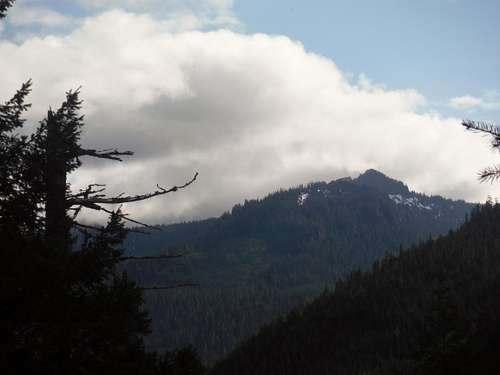 Looking over at Castle Butte | 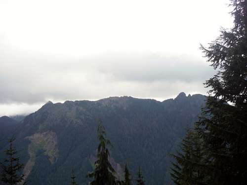 Looking over at Smith Ridge |
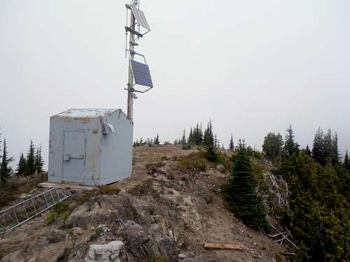 The summit of South Ridge | 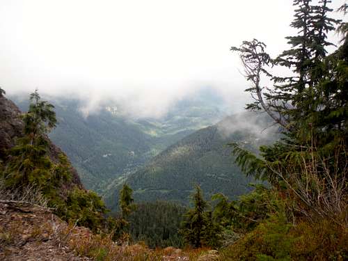 Looking east from the ridge |
Getting There
VIA THE SOUTH POINT TRAILHEAD: Take Highway 12 4 miles west from the small town of Packwood. You will see a somewhat poorly signed road off to your south (Forest Road 20). The itself is in decent condition and outside a couple potholes is very doable in a simple passenger car as of 2015. Take the road 4.9 miles which will be just passed a meadow in a high valley. You will see a trailhead on the left. Pull out on the other side of the road. There is no formal parking area but there is a pull out on the opposite side.Route
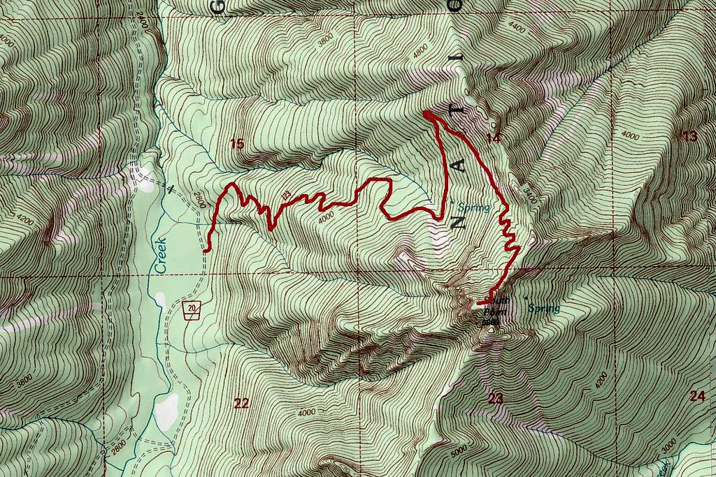
Map of the Route