
-
 6804 Hits
-
 83.1% Score
-
 16 Votes
|
|
Mountain/Rock |
|---|---|
|
|
47.55787°N / 121.07824°W |
|
|
Kittitas |
|
|
Scrambling |
|
|
Spring |
|
|
6760 ft / 2060 m |
|
|
Overview
Sherpani Peak is the high needle-like summit about 1.5 miles north of Paddy-Go-Easy Pass in the Central Washington Cascades. Climbing this peak involves a little bit of everything: A trail approach, route-finding, cross-country travel, side-hilling, climbing on snow and rock, and finally, an exciting and aesthetic rock scramble to reach the summit. Sherpani Peak is located in the Alpine Lakes Wilderness, and affords great views of Mt. Daniel to the west, and the Cradle to the east. Sherpani is not a trivial climb. Although the stats don't sound all that impressive, it will be a long day (7-9 hours roundtrip. It is a lonely mountain, as evidenced from the summit register. A few people climbed it in 2013, no one in 2014, and as of June, our party was the only group to have climbed it in 2015. This trip is a great wilderness experience on which you will probably encounter nobody once leaving the trail.
Mt. Daniel from Paddy-Go-Easy Pass
Getting There
Drive I-90 to Exit 80 and head through the towns of Roslyn and Ronald. Drive 11 miles on road #4330 to about .7 miles past the Fish Lake Guard Station and find the Paddy-Go-Easy Pass trailhead at 3,400 feet.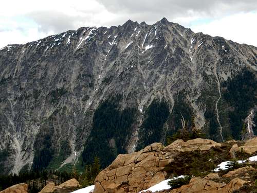
The Cradle
Route
Hike the trail about 2.5 miles to an elevation of 5800 feet. You will know you are at the right elevation when you see the talus fields and cliffs to your north. Leave the trail and stay at 5800 feet, skirting just below the talus fields. Go about 3/4 mile and climb to a pass just north of North Paddy-Go-Easy Peak. Sherpani will be across the basin to the north. The easiest way to proceed is to drop to near the bottom of the basin, then climb the left bench (full of boulders) to the shoulder just to climber's right of the peak. Turn west to the peak. At the base of the final scramble, go right around the summit pyramid. You will know you're on route when you pass through a rock arch just shy of the summit. The summit itself involves a very short move (low class 5) with no exposure. Stats: 9 miles roundtrip, 3,800 feet elevation gain (with ups and downs), 7-9 hours car to car.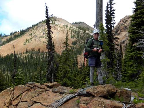
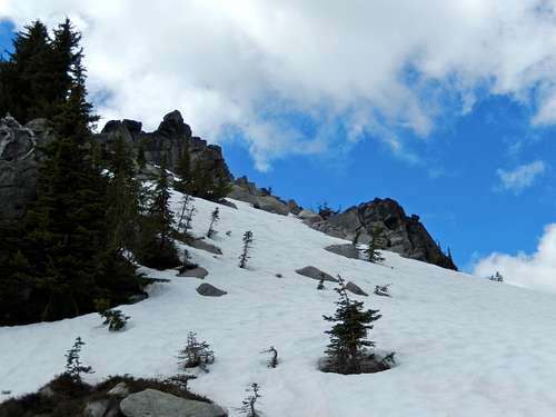
Off Trail Travel
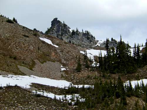
Sherpani comes into view
Red Tape
Sherpani Peak is in the Alpine Lakes Wilderness. A permit is required, but is self-serve and the number of visitors is unrestricted. Parking will require a Northwest Trails Pass ($5/daily, $30 annually), or an Interagency Pass ($80/annually).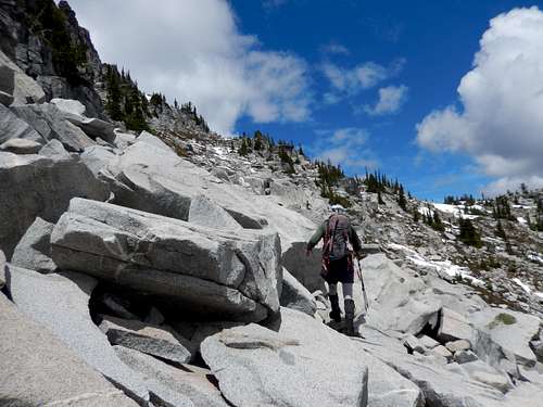
Climbing up the talus bench on Sherpani
Final approach to Sherpani summit
When to Climb
Sherpani Peak is a great climbing objective in Spring, Summer, and Fall. Spring and Fall may be best, as this area can get quite hot in high summer.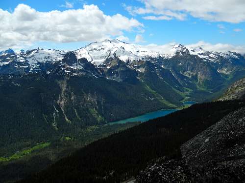
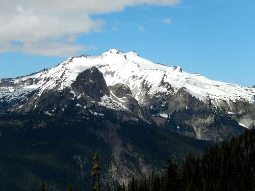
Mt. Daniel & Hyas Lake
Camping
Camping is permitted, but no campfires are allowed in Alpine Lakes Wilderness. The difficulty will be finding a reliable source of water, besides snowfieds.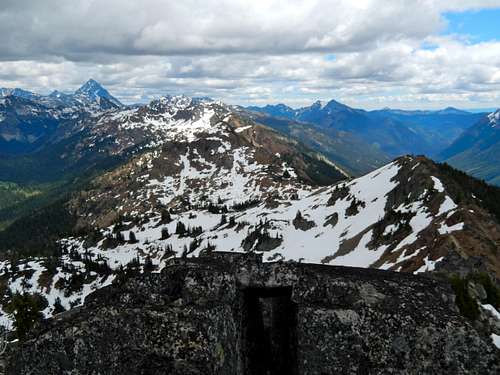
Looking down approach ridge