
|
|
Mountain/Rock |
|---|---|
|
|
48.93270°N / 121.7678°W |
|
|
Whatcom |
|
|
Hiking |
|
|
5930 ft / 1807 m |
|
|
Overview
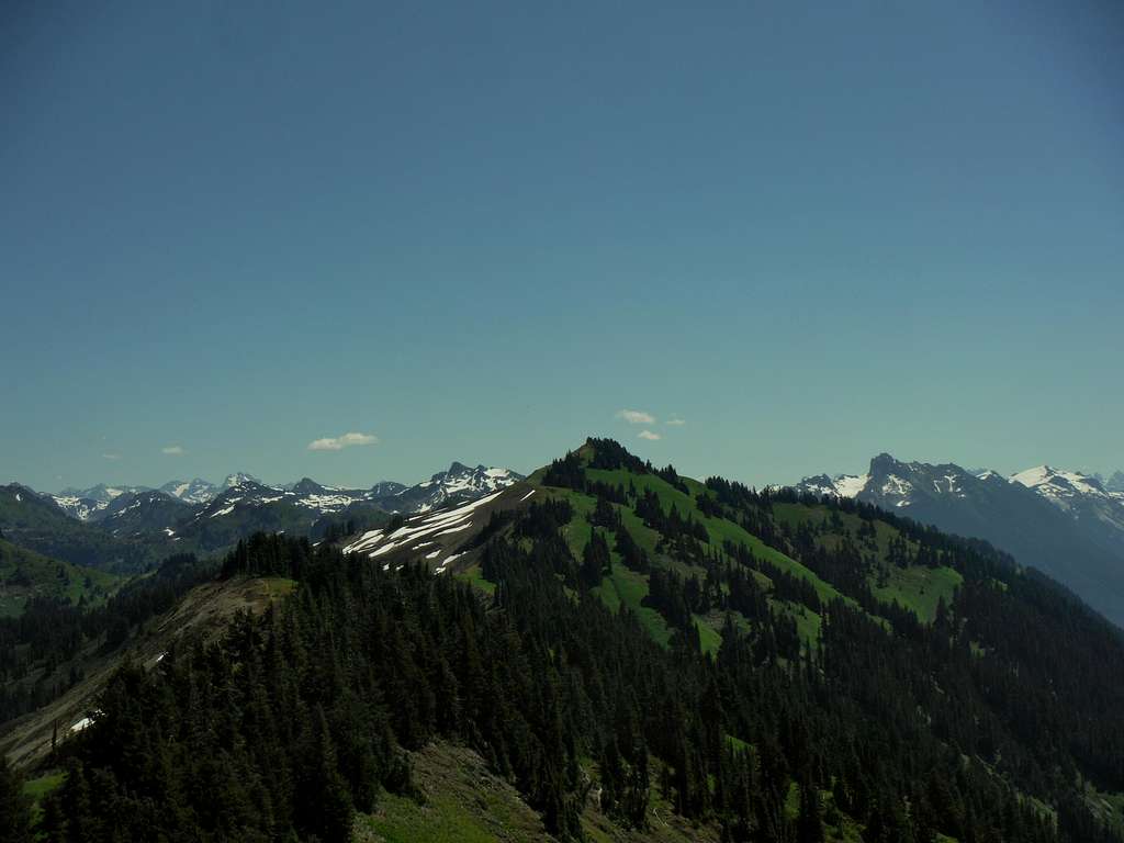
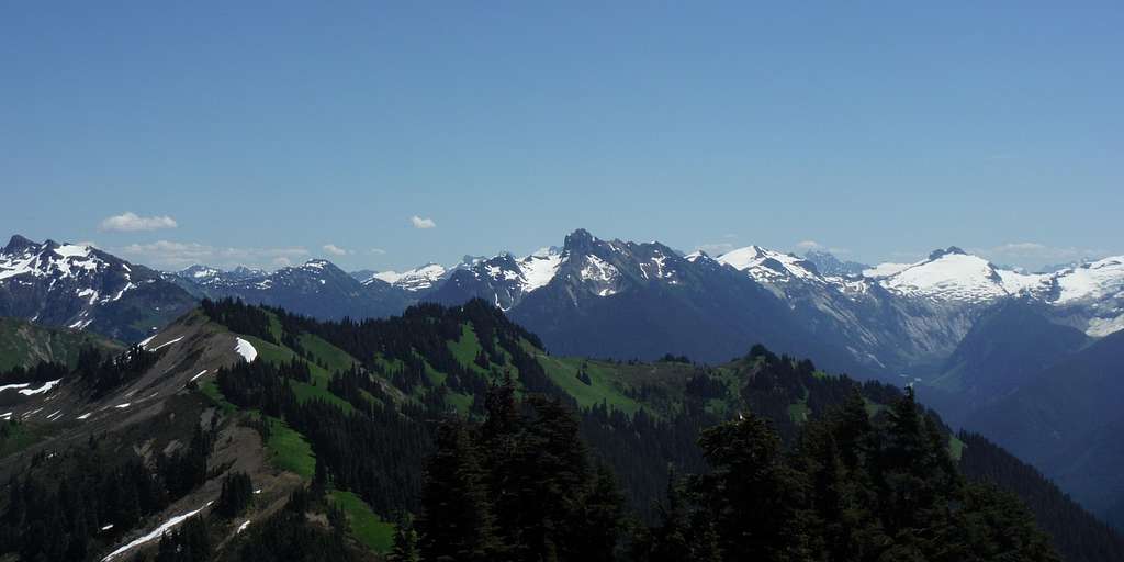
High Divide Peak from Excelsior Peak
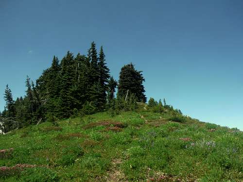
 The one area that could be the summit of High Divide Peak | 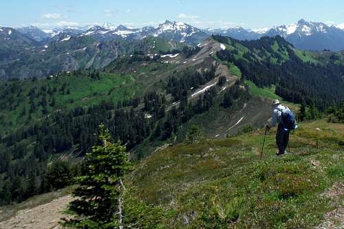 Zephyrus heading down the bootpath |
The peak is also overshadowed by it's small neighbor Excelsior Peak. High Divide Peak doesn't contain a true trail to the summit like Excelsior nor are the views entirely 360 degrees like Excelsior either. Because of these reasons most people will pick Excelsior and only peakbaggers will tend to summit this peak. Though the views are not 360 degrees like Excelsior there are views from the summit area looking in all directions. To the east lies good views of Larrabee, Tomyhoi, Icy, Ruth, Seifert and many others. To the south is Shuksan and Baker but you have to head off from the exact summit to really see the best shot of them. To the north lies the Canadian Cascades and the distant Coast Range which can easily be seen on a clear day. It should be noted that all 3 routes that go to this summit are basic hiking trails in summer.
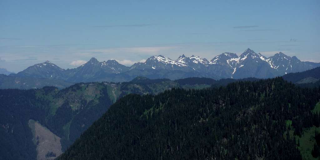
Looking into Canada
Seifert, Ruth and Icy
Getting There
VIA DAMFINO LAKES: From Highway 542 east of Glacier, WA make a left on Road 31, Canyon Creek Road which is just after the Douglas Fir Campground. The road is paved for 7 miles, alternates between paved and gravel between mile 7-9 miles and is all gravel all the way to the trailhead. At mile 9 veer to the left whereas another road will lead you to the Bearpaw Lake Trail. At mile 14 veer left again and head uphill a number of switchback. Road 31 will be for 15 miles and it is rough in places due to potholes. High clearances vehicles strongly recommended. This road was closed for a long time but as of 2015 it is now open.VIA 542: Trail No. 670 will be roughly 8 miles to the east on your left hand side.
VIA WELCOME PASS: Take Highway 542 about 11 miles past Glacier. Make a left onto Forest Road 3060 and take this road to the end. As of 2015 this road has been reported to be rough but passenger vehicles have making it to the trailhead.
Route
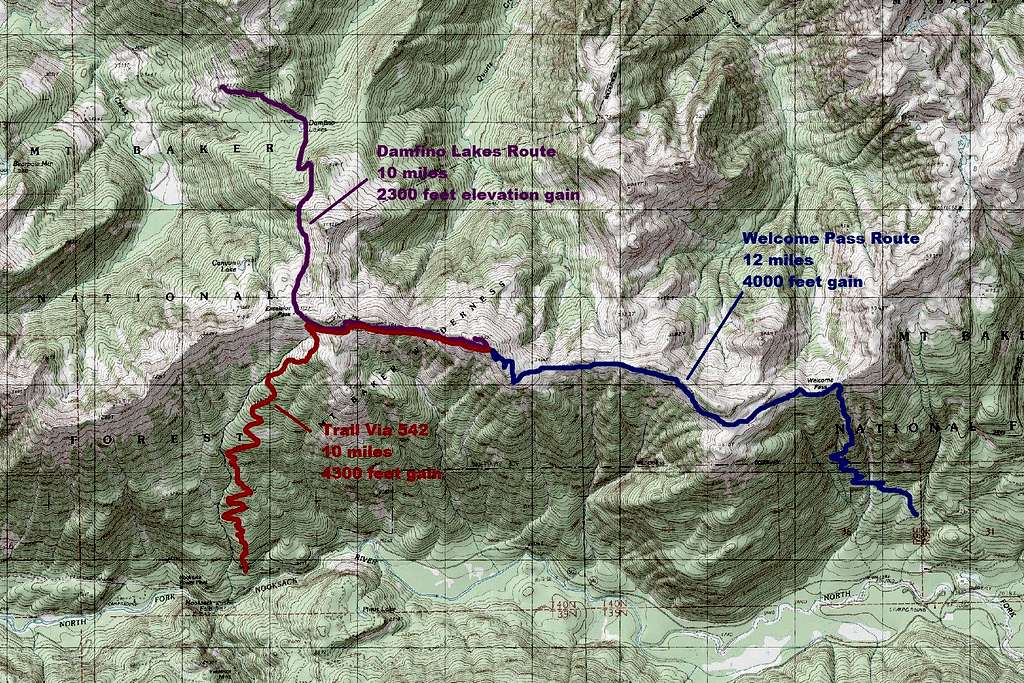
A Route Map
 The barely visible bootpath from near the High Divide Trail | 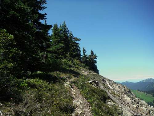 The much more well defined bootpath near the summit |
VIA 542: The trail to Excelsior Pass pretty much directly from Route 542 (Mount Baker Highway) is the easiest to access by passenger car. It also melts out the quickest. That being said though this route clearly has the most elevation gain of all the routes.
Welcome Pass Route: Many see this route as the prettiest route to the summit. It is clearly the longest but there are excellent views throughout the top 2/3 of this route. The drawback is the length of the hike (12 miles to High Divide and 14 to Excelsior) and relatively rough road.
Damfino Lakes Route: This route has the least elevation gain to the summit. This route also passes right by Excelsior peak which a good resting point on the way to High Divide Peak. The drawbacks is that this road has been closed from time to time (though as of 2015 it is open). The second half of the road is very rough and high clearance vehicles are strongly advised.
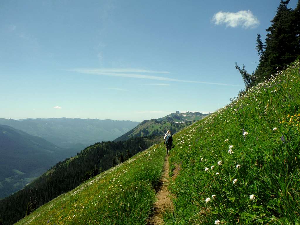
![Heading on the High Divide Trail]()
Heading on the High Divide Trail
This mountain can be done year round however it should be saved for summer and fall when the trail is clear of snow. The trails leading to High Divide Peak are usually clear of snow between mid-July to mid October though exceptions in both cases have happened. In July in when the flowers tend to come out and the lupine dominate the trail leading to the bootpath. In fall these fields turn into a special yellow color and become very pretty. A lot of seasoned hikers prefer to hit the High Divide Trail during this time to enjoy the pretty colors on this trail.
Red Tape
All trailheads require a Northwest Forest Pass which can be purchased at a ranger station or any REI stores.When to Climb
Heading on the High Divide Trail