
-
 11984 Hits
-
 82.19% Score
-
 15 Votes
|
|
Mountain/Rock |
|---|---|
|
|
37.80247°N / 90.70958°W |
|
|
Hiking |
|
|
Spring, Summer, Fall, Winter |
|
|
1200 ft / 366 m |
|
|
Overview
If you find yourself in the St Francois Mountains of the Missouri Ozarks, you have a short but geologically fascinating option in Hughes Mountain. Unusual for the area, you get 360 degree views and a rocky approach and summit. And what rocks! The granite and rhyolite was originally extruded by volcanic activity 1.48 Billion years ago has fractured vertically into columns which are distantly related to those found in places like Devil’s Postpile in California. Not as scenic as that national monument, it is still well worth the trip to explore. Here in Missouri, it is called ‘The Devil’s Honeycomb’, though to me the columns are more frequently square than hexagonal, and seem to be lodged in a gray matrix.
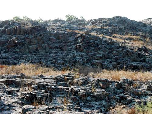 Hughes Mountain Granite/Rhyolite
The mild class 1 and 2 hike up Hughes Mountain, protected as the Hughes Mountain Natural area by the Missouri department of conservation, is only ¾ of a mile to the summit, but has a unique feel. Large swaths of Hughes Mountain are covered by these ‘honeycombs’, giving the area an unearthy vibe. You will almost certainly have solitude in this less traveled part of Missouri.
If you are in the area, I would definitely make time for this spot.Getting There
You have to work a bit to get to this Natural Area as some of the roads are almost criminally unsigned. Starting from Farmington, the nearest big town, take route 32 west to Old Irondale Road and turn right (North). Once in the very small town of Irondale, turn left on County M (not signed that I could see), and travel several miles west until you see the Hughes Mountain Natural Area on the left (south). It is signed.
This Hughes Mountain Map gives a good idea of vicinity and the initial route from Highway M.
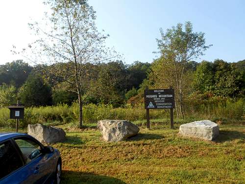 Hughes Mountain's Unimpressive Trailhead
Route
The trailhead immediately plunges you into first brush then forest. You will travel about about half a mile and 300 feet up through the trees before you break out onto the long sloping plateau of Hughes Mountain. The way up is clear.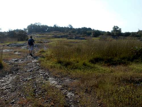 Sloping Plateau of Hughes Mountain
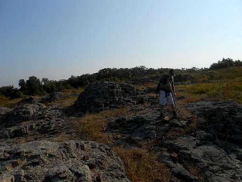 Devil's Honeycomb
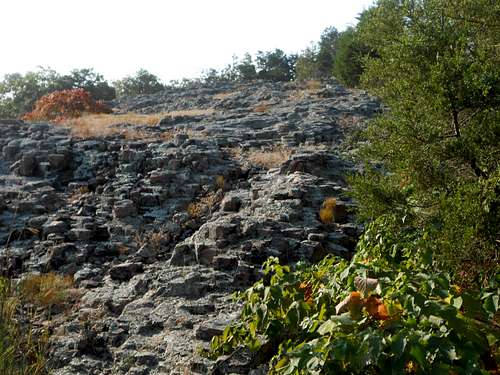 Typical Hughes Mountain Moonscape
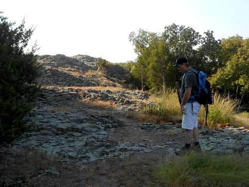 Nearing the Summit
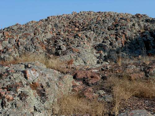 Hughes Mountain Summit Rocks
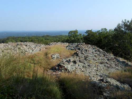 Looking Back Down Hughes Mountain
Getting back down may be a different story. The Natural Area is larger than it appears, and the rocks on this lunar landscape all look very similar. Once we got to the woods/rocks border, we could not locate the trail that led back through the woods to the parking area. This lead us to a blind plunge northward through the brushy forest and back to Highway M, and several encounters with spiderwebs, some complete with spider. It took us 2 miles of mistaken exploration (‘I’m sure its to the east’) to find the parking area from where we emerged.
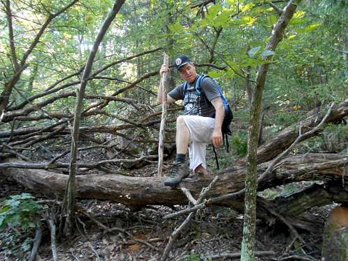 Hughes Mountain Off Route Flora
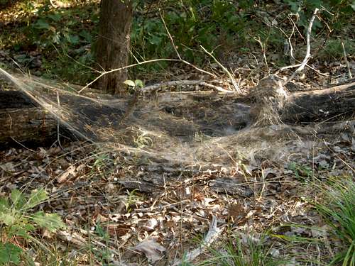 Hughes Mountain Off-Route Fauna