
|
|
Mountain/Rock |
|---|---|
|
|
48.70823°N / 122.39288°W |
|
|
Whatcom |
|
|
Spring, Summer, Fall, Winter |
|
|
1780 ft / 543 m |
|
|
Overview
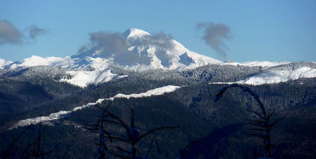
Closeup of Mount Baker
Galbraith Mountain, located 8 miles southeast of Bellingham, is a very highly visited mountain. The reason for this mountain is not because of its height at just under 1800 feet of elevation, or prominence, which is 440 feet. Galbraith Mountain is one of the most popular mountain biking summits in the Pacific Northwest. Though this mountain is completely on private land there are over 50 miles of mountain biking trails on this mountain. This is because there is a stewardship between the land owner and the mountain biking community. On any given weekday and weekend even in snow this mountain is very popular with mountain bikers.
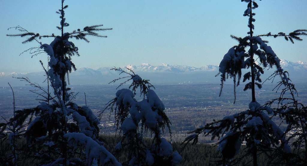
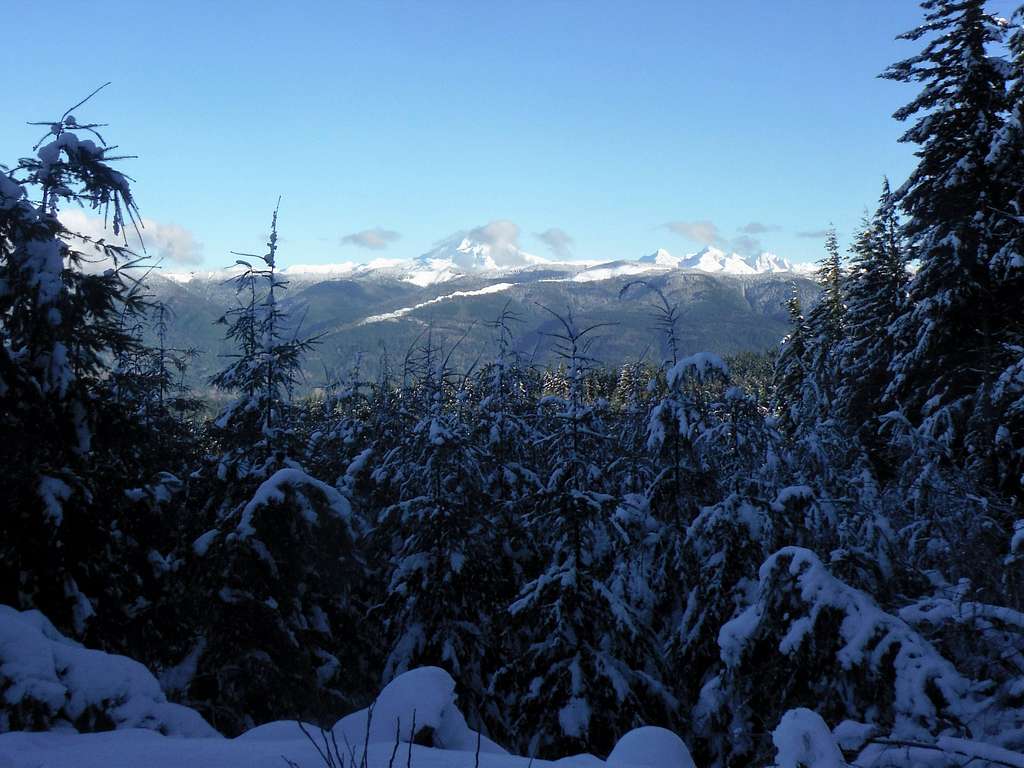
Looking toward Vancouver
The mountain is also popular with hikers though clearly not as many hikers go up the mountain as mountain bikers. Hikers should stay on the Tower Road all of the way to the summit and not go on the mountain biking trail at any time. Their is a great view that is a little ways to the north of the true summit. If you go to that viewpoint make sure to stay off of the Evolution bike path.
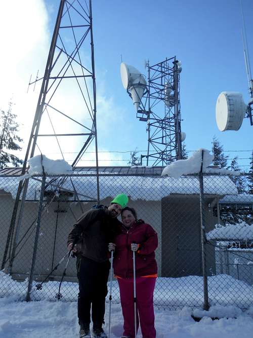 Summit tower with EastKing and BearQueen | 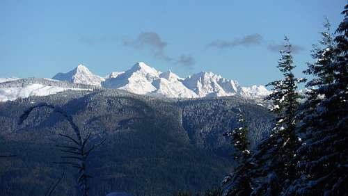 Closeup of the Twins |
Getting There
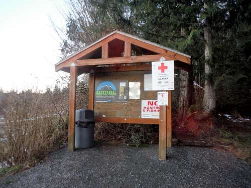
You have to walk a ways for this trailhead sign.
The easiest way is via Sammish Way. Park in the Lake Padden trailhead parking lot directly across the street from Galbraith Lane Road two miles north of the I-5 south exit (Exit 246). From there walk up the Galbraith Lane Rd for a 1/2 mile and then turn right onto Tower Road (not well marked) and take it to the gate. There is no parking allowed on Tower Road or at the trailhead. ALL THE LAND IS PRIVATE PROPERTY!!!!
Route
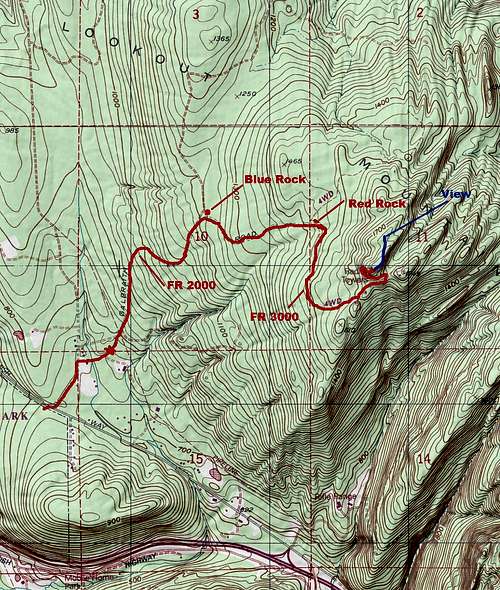
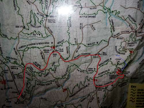
Map of the Route up Galbraith
The most basic way to get to the summit of Galbraith Mountain is to take Tower Road all of the way to the summit. This road is a long slog going 3 miles and 1400 feet of elevation gain. There are no views on this long boring route boring all the way to the true summit. However just a little way north just off of the Evolution Bike Trail is a great views of downtown Bellingham and of Mount Baker and the Twins. Stay off the biking trail as much as possible because this is a preset trail filled with jumps and the Evolution Trail receives a lot of traffic.
 Generic picture of the map at the trailhead. You should not use any of the bike trail and stay only on the main road. | 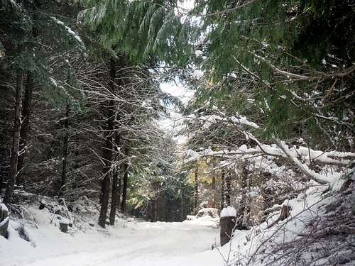 Road slogs look so much prettier in snow! |
Red Tape
This is private land that could change at any time. Right now there is free parking right by the Lake Padden Park right off of Route 99. From there you have to walk up the Galbraith Lane Rd for a 1/2 mile and then turn right onto Tower Road (not well marked) and take it to the gate.When to Climb
This view is not the same without snow.
This mountain can be hiked or biked at any time of the year. It is most scenic in winter though. Expect a lot of mountain biking traffic on this road even well there is a foot of snow on the road.
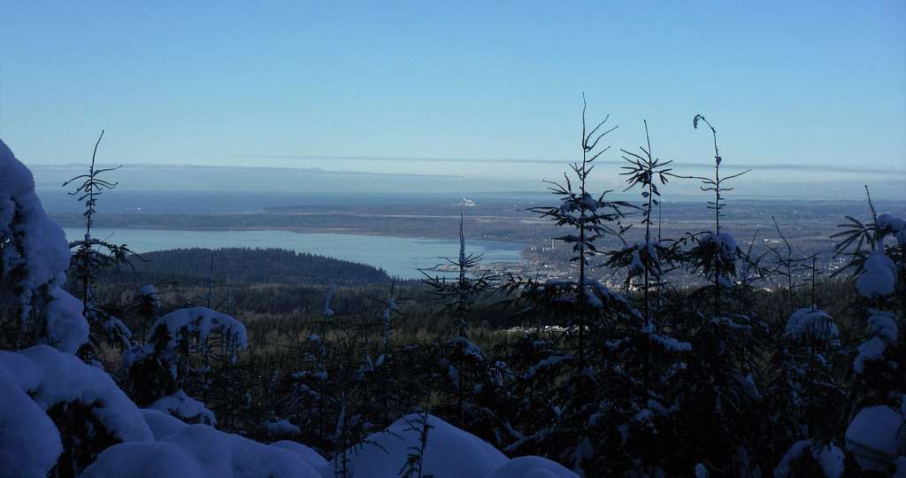
The view of Bellingham from Galbraith Mountain
Camping
This is private land so therefore there is no camping allowed on any of the biking trails.External Links
Galbraith Mountain Mountain Biking Page