
|
|
Mountain/Rock |
|---|---|
|
|
37.44379°N / 107.06676°W |
|
|
Download GPX » View Route on Map |
|
|
Mineral |
|
|
Mountaineering |
|
|
Summer |
|
|
12640 ft / 3853 m |
|
|
Overview
West face of Pagosa Peak
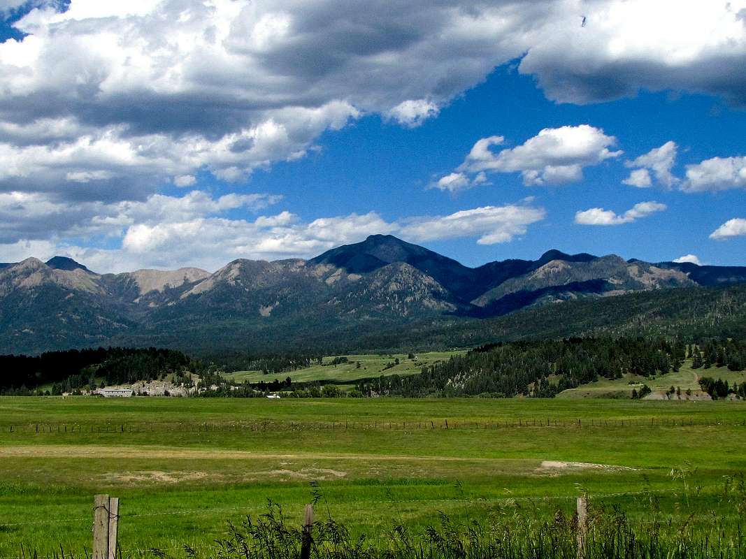
Pagosa Peak is a prominent mountain that rises to the north of the town of Pagosa Springs at the southern edge of the San Juan Mountains in southwestern Colorado. Its summit provides the climber with commanding views of the plains to the south and west as well as other peaks of the San Juan Range to the north and east. An unsigned but well-beaten trail starts at an elevation of 10180 ft and goes 2 steep miles to the summit of Pagosa Peak. Reaching this trail requires four-wheel drive. With two-wheel drive, you should add another 3.9 miles and 1460 ft of vertical.

Southeastern face of Pagosa Peak
Getting There
From the junction of Route 160 and Lewis St./N Fifth St. in Pagosa Springs, CO, turn north onto N Fifth St. Pavement soon ends and the road will become Route 400/Four Mile Road. Drive this road 8 miles north and turn left onto Fourmile Trail/Route 634. Drive roughly 13 miles to the junction with Route 661. This is 2WD Trailhead (under dry conditions any vehicle should be able to make it to this spot). There is no designated parking but a few cars can park in the grassy area. 4WD can continue 3.9 miles up Route 661. Keep your eyes open for the unsigned trailhead at a switchback on the road.
Route
All distances are per my GPS
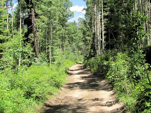
Walk or drive up the 4WD road.
 |
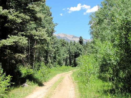 |
As you get close to the trailhead, Pagosa Peak comes into view.
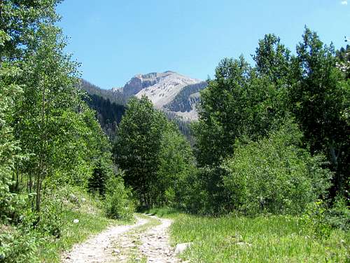 Pagosa Peak
The trailhead had no official sign when I visited. A blaze in a tree at a switchback may mark it. Leave the road and follow the steep trail up the forest.
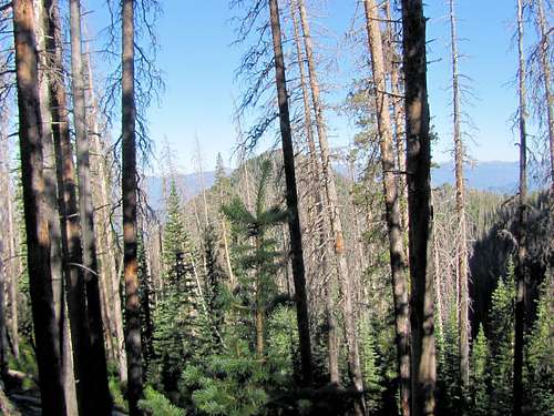 On the trail
You will then reach the 11560 ft saddle. Turn north and follow the steep trail up the ridgetop.
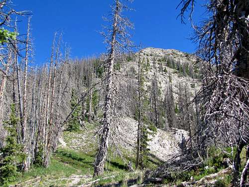 Southern ridgeline
Going above tree-line.
 On the southern ridgeline
False summit.
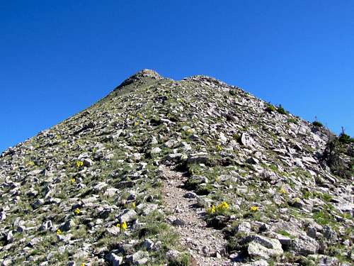 False summit
True summit from the false summit.
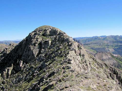 True summit from false summit
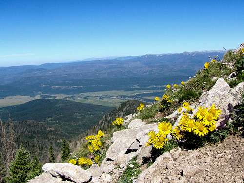
Views from the summit.
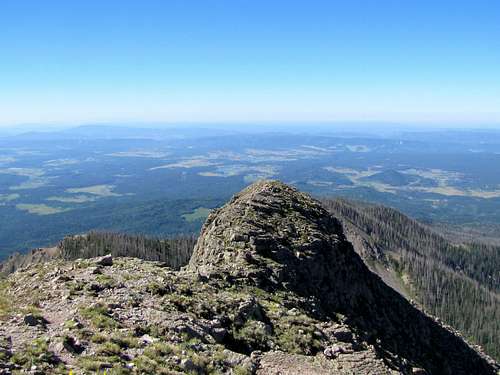 False summit False summit |
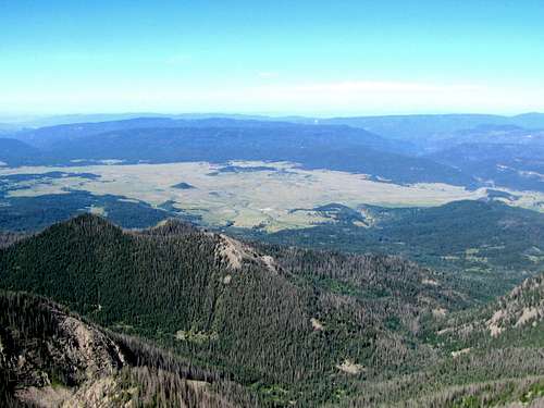 Plains to the southwest Plains to the southwest |
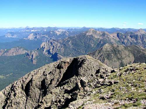 Toner & Sugarloaf Mountains Toner & Sugarloaf Mountains |
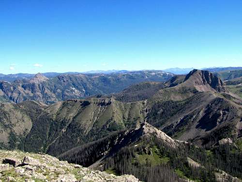 Sugarloaf & Point 12603 ft Sugarloaf & Point 12603 ft |
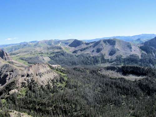 Cherry Cairn Peak Cherry Cairn Peak |
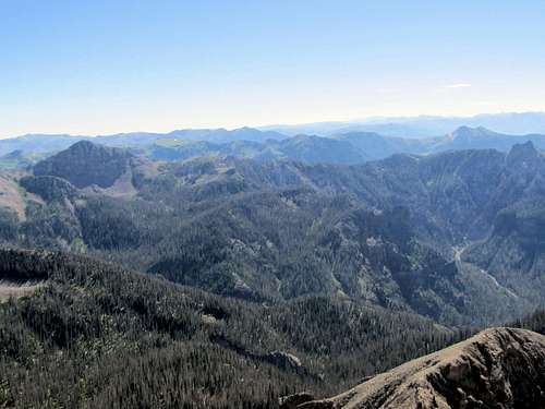 Point 12473 & Eagle Mountain Point 12473 & Eagle Mountain |
Red Tape
No fees or permits.
When to Climb
Easiest in summer.