Page Type Page Type: Mountain/Rock
Location Lat/Lon: 46.36816°N / 121.77834°W
Additional Information County: Skamania
Activities Activities: Hiking, Mountaineering, Scrambling
Seasons Season: Summer, Fall
Additional Information Elevation: 5611 ft / 1710 m
Sign the Climber's Log

Overview

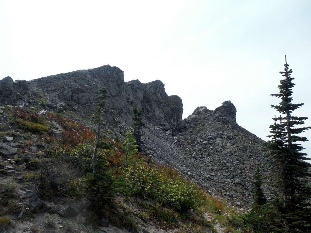
Juniper Peak summit ridge

Juniper Peak is a moderately popular mountain located in what is known as the Dark Divide. The summit itself is home to excellent views of the Mount Rainier, Mount Saint Helens and Mount Adams largely because it is located in the middle of all three. The views on Juniper make the summit clearly a must visited in the area. The summit itself has over 650 feet of prominence of the ridge and during summer it can be easily done in a day from the north side at 6 miles and 1900 feet of elevation gain. Personally I would recommend this peak to families. It should be noted that the true summit is treeless on top offering high quality views of the surrounding area. This peak can also be combined with North Juniper Peak, Sunrise Mountain and Tongue Mountain as well.

 
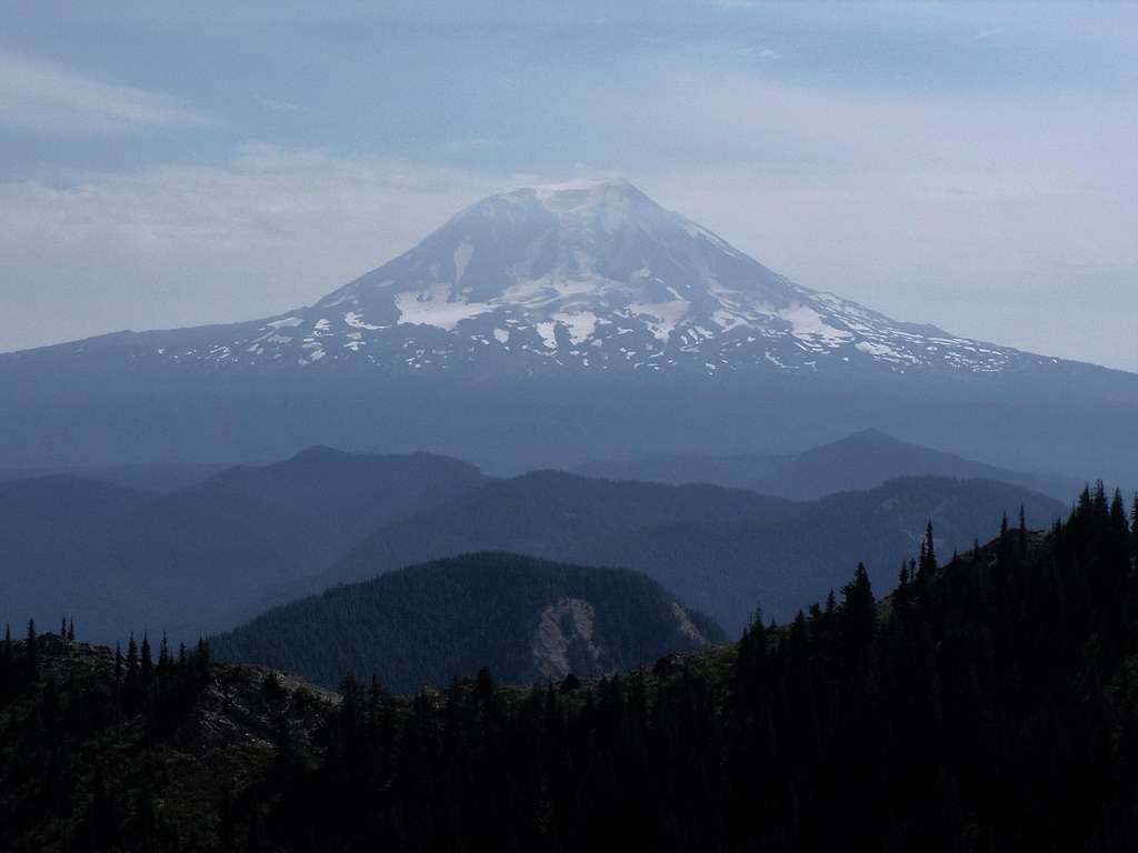
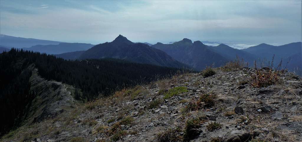
Mount Adams from Juniper Peak
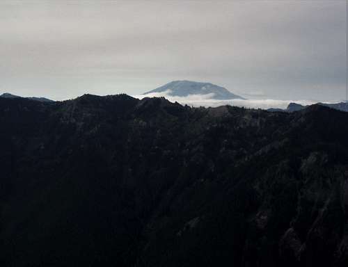

Mount Saint Helens from Juniper Peak
Mount Saint Helens
Rainier and Mount Tongue
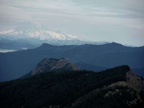
Mount Rainier, Tongue and North Juniper

Getting There

Heading south from Randle: Take Forest Road 25 one mile south. Make a left (east) on FR 23 south for 9 miles. Make a right on FR 28 for 1 mile. Make a left onto FR 29 for and head down the road for four miles down. Make a left onto FR 2904. Take the road all the way to the pass between Mount Tongue and North Juniper Peak. There is parking along the pass just beyond the Juniper Peak Trail. The road up to the pass was formerly rough but now the road is in excellent shape and easily doable in most passenger cars largely because of logging going on just beyond the trailhead.

Route


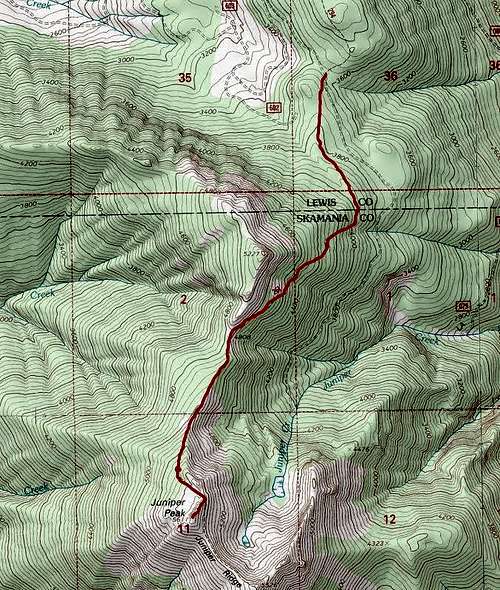
Map of the route up Juniper Peak


Heading up to Juniper Peak is very easy to follow. It is rutted in places due to the fact that motorbikes and mountain bike use it as well. Head up the Juniper Ridge Trail for 3 miles. You will pass to the east of North Juniper. Once you get to the ridge leaving to the summit of Juniper just make a right and head off-trail for about 120 vertical feet all the way to the summit. The ridge is a narrow and there is a small cliff on the north face but the exposure here is minimal and most people will feel comfortable making the ridge traverse to the summit. There are some views throughout the trail but the summit views are spectacular. This is not a summit for a rainy day!!!!
Looking up the ridge
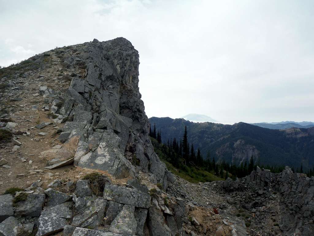
Final ridge to the summit

Red Tape

There is no true Red Tape at the trailhead. However there is active logging closeby so this road can be closed in the future because it. The road is in EXCELLENT CONDITION as of August 2016 and pretty much all passenger car will be comfortable.

When to Climb

Sunrise and Jumbo from Juniper

The best time to climb this mountain is from July to October. You can attempt earlier but make sure you have your ice axe handy and be prepared for more elevation gain.

Camping

There was a great place to camp on the Juniper about a half mile on the western side of the Juniper Ridge Trail literally just before the trail starts it serious elevation gain. .

External Links