
|
|
Mountain/Rock |
|---|---|
|
|
46.83300°N / 122.2813°W |
|
|
Pierce |
|
|
Hiking |
|
|
Spring, Summer, Fall, Winter |
|
|
2050 ft / 625 m |
|
|
Overview
Located in the foothills of Mount Rainier lies the Pack Experimental Forest. This is a multiple use conservationist park that was donated by Charles Lathrop Pack back in 1926 to the University of Washington in order to conserve Washington State Forest for many years to come. This park basically contain a group of foothills south of Eatonville and west of Mount Rainier National Park. As time as gone along this park as become more focused on classroom usage and sustainable use. You will see a number of educational areas while at this park.The highpoint of the park, or Pack Forest Highpoint, is located pretty much in the center of the park. Surprisingly this summit despite it's over 600 feet of prominence is not the main focal point of the trails in the Experimental Forest. This despite the fact that the highpoint was a former lookout site and that this summit represents some of the very few views located in the entire forest park. The summit area just does not receive the same attention that is donated to a smaller peaklet called Hugo Peak to the north.
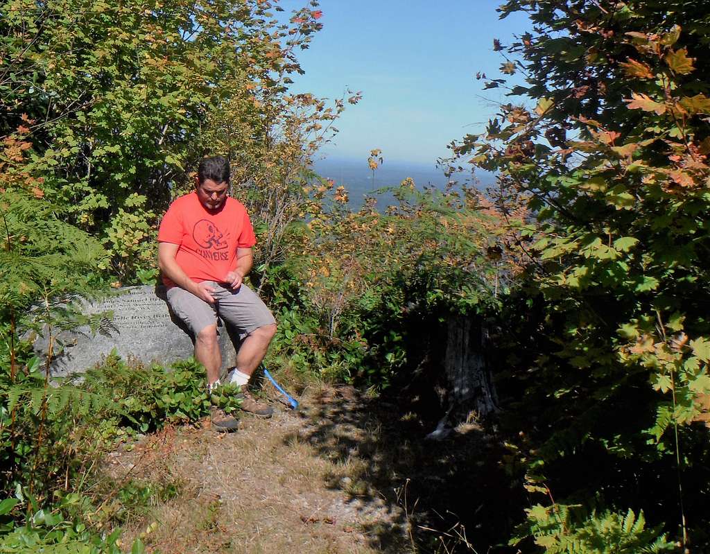
CascadeCohen resting on the summit
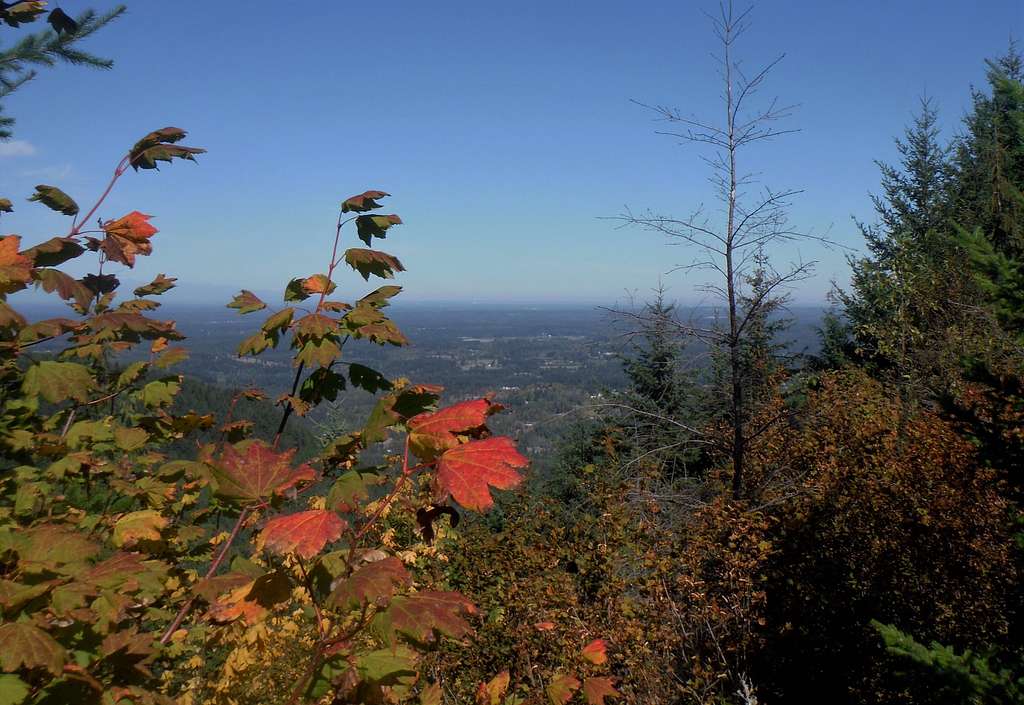
The summit itself is just a couple yards off one of the forest road and there is a memorial to people on the top who have past on. The summit area also contains a great view to the north where if one is lucky they can see the Olympics and potentially Tacoma and Seattle. Decent views can also be seen a little way from the summit on the road. This will look south toward Alder Lake and mountains south of it. From what I saw this summit area had some of the best views. One view that was absent was one of nearby Rainier. It seems that all the eastern views of the grand summit of Mount Rainier are presently block. This is a working forest so maybe something will open up in the future.
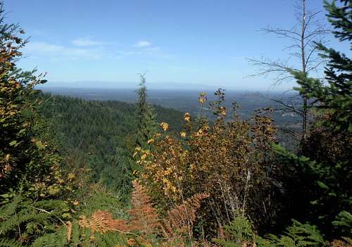 Looking north from the summit | 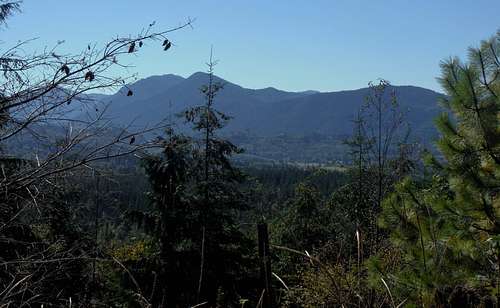 Looking south from near the summit |
Getting There
FROM TACOMA, WASHINGTON: Take Route 7 south from Tacoma. Stay on the road until you are about a half mile south of Highway 161. Make a left at the very well marked Pack Experimental Forest Entrance Area. You can either park right by the entrance and pick up the Hugo Peak Trail there or drive up a half mile by making the next right and heading up to a park and classroom area where a side path will lead you right to the Hugo Peak Trail. I preferred here because it is a little ways away from the highway.Route
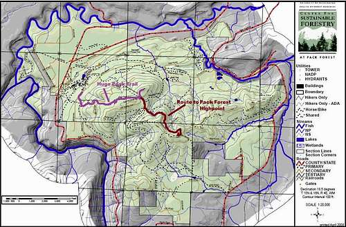
Map to Pack Forest Highpoint
Red Tape
Hiking at the park is free and is from dawn to dusk 7 days a week.When to Climb
The first signs of fall