
-
 16911 Hits
-
 84.82% Score
-
 19 Votes
|
|
Mountain/Rock |
|---|---|
|
|
33.95357°N / 115.79945°W |
|
|
Download GPX » View Route on Map |
|
|
Riverside |
|
|
Hiking |
|
|
Spring, Fall, Winter |
|
|
3983 ft / 1214 m |
|
|
Overview
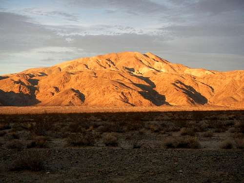
Pinto At Dusk
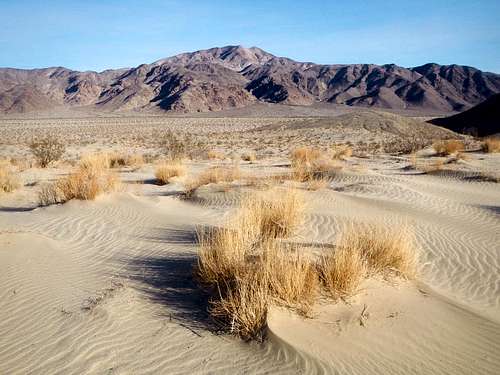
Small Dunes
Despite being the namesake peak of the Pinto Range, it is not the highest point, however it does have over 1200 feet of prominence, which is more than the range high point. The Pinto Mountains are a 30 mile long range, forming a sort of natural border between the national park and the Pinto Mountains Wilderness area, which was created in 2009. The north ridge of Pinto is connected to the Wilderness Highpoint, only 1.5 miles north of Pinto summit. So if you are a high-pointer, it has that added attraction.
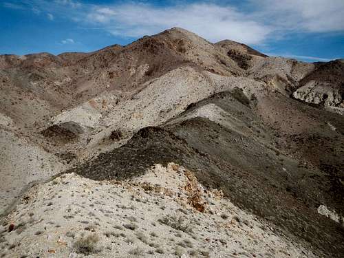
Pinto Upper South Ridge
Pinto Mountain is also featured on the Sierra Club Desert Peak Section List, one of only 3 mountains inside the park to be included. The other two, Spectre Peak and Eagle Mountain are more challenging. With proper route finding, Pinto Mountain is a class 2 off-trail hike. There are two summits of nearly equal height separated by two tenths of a mile, but the west one is higher and that is where the summit cairn and register are located.
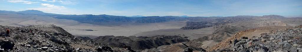
Southwest Summit Panorama
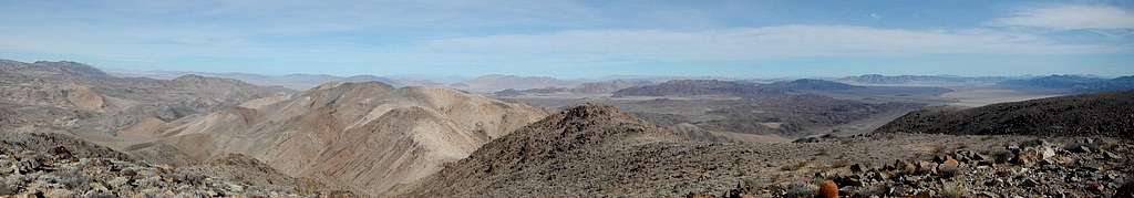
Northeast Summit Panorama
Pinto Mountain is a desert peak and should not be attempted in the summer. Late fall, early spring and winter are the best times to make an ascent. Carry plenty of water because you will not find any on the route.
Interactive Route Map
This GPX file can be downloaded in the link near the top of the page.Standard Route
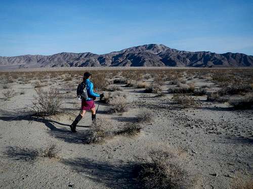
Crossing Turkey Flats
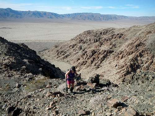
On The South Ridge
Hike northeast across open desert for 2.4 miles to reach the base of the smaller southwest ridge. You will cross some small sand dunes along the way and bypass some foothills on the west side. The smaller southwest ridge can be followed from the desert floor another 2.4 miles, all the way to the summit. The round-trip mileage total is 9.6 with approximately 2600 feet of accumulative gain.
Along The South Ridge
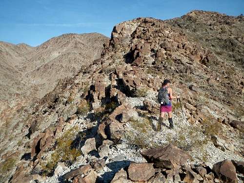
There are some rocky outcroppings on the ridge which can be scrambled over or bypassed. In a few places, slight elevation loss to low points along the ridge will be necessary. At 2720 feet the ridge briefly widens into a small plateau. Above this plateau is where the colors of rock change frequently alternating between white and black.
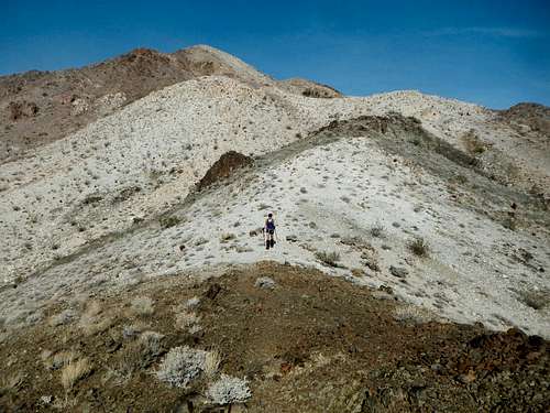
Painted Slopes
It’s not necessary to go over the top of every high point along the ridge. If you anticipate the upcoming low points, it’s better to traverse around the bumps. Much of the ridge features a boot path and if you can stick to that, it will be the best option.
Driving Directions
Northwest Park EntranceFrom Highway 62 in Joshua Tree town, turn south onto Park Boulevard and drive 25.9 miles. Turn right onto Pinto Basin Road and continue another 16.1 miles to the Turkey Flats pullout on the left.
North Park Entrance
From Highway 62 in the town of Twenty Nine Palms, turn south on Utah Trail Road, which later turns into Park Boulevard. 8.6 miles from Highway 62, turn left onto Pinto Basin Road and continue another 16.1 miles to the Turkey Flats pullout on the left.
South Park Entrance
From Interstate 10 take exit 168 and drive north past the Cottonwood Visitor Center. Turkey Flats is a small pullout on the right, 20.6 miles from the freeway exit.
Red Tape / Camping
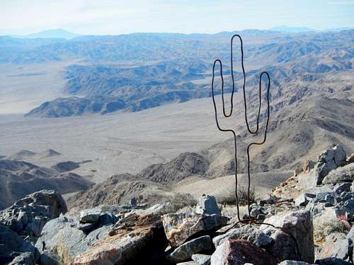
Summit Sculpture
Backcountry camping is free at Turkey Flats so long as you set up a certain distance from the road, however vehicle registration is required. There are also a number of established campgrounds which you can pay to use, but they are usually full. Contact the park service for more information.
Joshua Tree National Park
(760) 367-5500