
-
 16216 Hits
-
 81.18% Score
-
 13 Votes
|
|
Mountain/Rock |
|---|---|
|
|
33.48560°N / 111.5963°W |
|
|
Maricopa |
|
|
3312 ft / 1009 m |
|
|
Overview
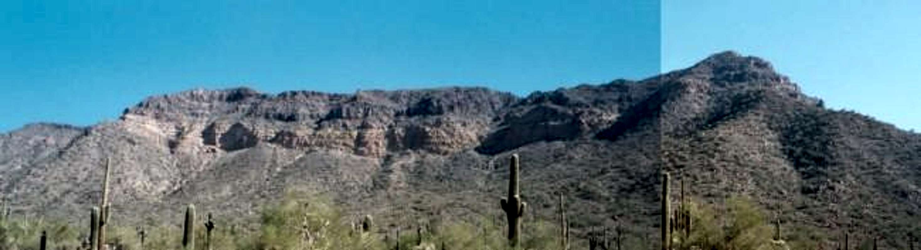
Pass Mountain is a fun mountain to climb. It includes trail, off trail and a small amount of scrambling. This mountain sits East of Phoenix/Scottsdale and north of Mesa. It is the highest point in the Usery Mountains Recreation area and the western most point in the Goldfield Mountains. It sits on the border of the Goldfield mountains and the Usery mountains. This mountain sits in a busy area, but few actually see the summit. The Usery mountain Recreational area is a very busy place and the Wind Cave Trail heading up the side of Pass Mountain is a very popular trail. This mountain also overlooks Mesa and Phoenix. Through all the busyness you can find solitude on the peak.
 |
 |
 |
 |
 |
Getting There
From Phoenix take Hwy 60 to Ellsworth Rd. Turn north on Ellsworth. Ellsworth turns into Usery Pass Rd. Turn right onto User Park Road then north on Wind Cave DR.
Red Tape
To get into Usery Mountain Recreational Area there is a $5 fee. If there is not a ranger present then there is a box to put your money in and get a pass.
When To Climb
From looking at the summit log people hike this mountain year round. May-September is not recommended since it gets over 105 Degrees. The best months is November-March. At any time of year bring lots of water.
Camping/Picnic Areas
Individual Sites:
First come first serve, no reservations are allowed. There is a total of 73 sites and has a stay limit of two weeks. Every site has electricity, water hookup, barbecue, fire pit and a picnic table. The cost is $18 per night.
Group Camping:
There are only two group camping areas. Reservations are required. Both areas have one large ramada containing six tables and a large patio. Hookups for RV's are not available. There is a $30 reservation fee to hold either areas. Upon arrival, the price is $8.00 per night. Both areas share restrooms. Showers are also available. For reservations, contact (480) 984-0032
Picnic Areas:
There are a number of ramadas with picnic tables and barbecues. THise areas are taken on a first-come, first-serve basis.
There are two group picnic areas. Reservations are required. Each area is equipped with electricity, water, two large ramadas with tables, a large patio, fire pit a large barbecue, and floodlights for night use. Both areas share a playground. There is a $40 reservation fee to hold each of these areas. Upon arrival, the price is $5 per vehicle. For reservations, contact (480) 984-0032.
Mountain Conditions
Hot and dry. There are no water sources.
Other Recreation
Archery:
The Usery Mountain Recreation area has an Archery range which is Arizona's only "Five-Star" rated archery range in the Western United States. Amenities include 4 miles of walking trails, restroom facilities, picnic areas, and a shaded shooting area.
Shooting Range:
There is a shooting range near the Usery mountain recreation area. It is no longer within the Recreation Area and is managed separately by the Arizona Game & Fish Department. You can hear the gun shots all the way up to the top of Pass Mountain.
Views From The Summit
 |
 |
Steven Cross - Dec 28, 2004 8:15 pm - Hasn't voted
Untitled CommentThis route has been added under the routes section listed as Wind Cave/ Pass Mountain Ridgline.
Jeff12633 - Dec 25, 2004 9:36 pm - Hasn't voted
Untitled CommentFor those wishing to turn the relatively easy Pass Mountain trail into a more interesting and more strenuous experience, try the North summit. The rough trail beyond Wind Cave continues to the South summit; to reach the North summit, follow this trail until it reaches the summit ridge, but instead of turning right and continuing the last 100 vertical feet to the South summit, turn left off trail and follow the trail-less ridge about 3/4 mile to the North summit. It starts as a boulder hop and ridge-top scramble over one intermediate peak, then crosses a second broad peak before you finally scramble up the steep North summit, the highest point on the ridge. The first year after I installed a register there (was it 1998?) only about 5 people signed it, but it has become more and more popular each year. Watch for loose rocks, cacti, and rattlesnakes!
Steven Cross - Dec 28, 2004 8:15 pm - Hasn't voted
Untitled CommentThis route has been added under the routes section listed as Wind Cave/ Pass Mountain Ridgline.
Jeff12633 - Jan 4, 2007 4:25 am - Hasn't voted
North Summit RegisterJust an update--in the 6 years since I installed the summit register at the North Summit, the first set of register sheets (8 pages) have been filled, and I recently installed a new set of blank sheets. Images of the first set are available on my web site at http://www.jeffreycook.net/NSPass/NSPassMtnRegister.html
surgent - May 1, 2011 2:34 pm - Hasn't voted
Nice page...I hate to be picky about such things, but the main page has many spelling errors that make the page hard to read. The info is good, though.