-
 60311 Hits
-
 95.18% Score
-
 51 Votes
|
|
Mountain/Rock |
|---|---|
|
|
48.57300°N / 113.516°W |
|
|
Hiking, Mountaineering, Mixed, Scrambling |
|
|
Summer, Fall |
|
|
8020 ft / 2444 m |
|
|
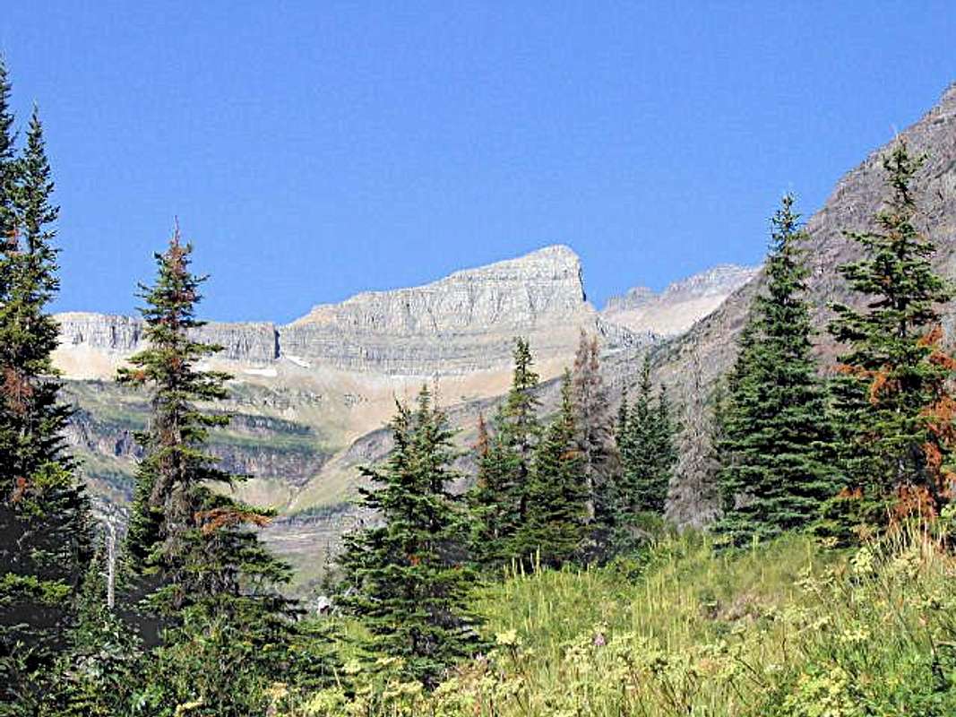
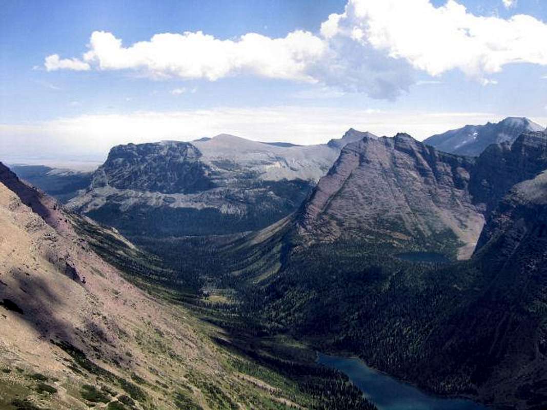
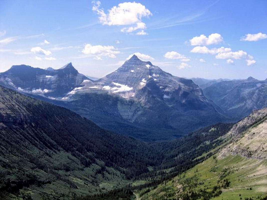
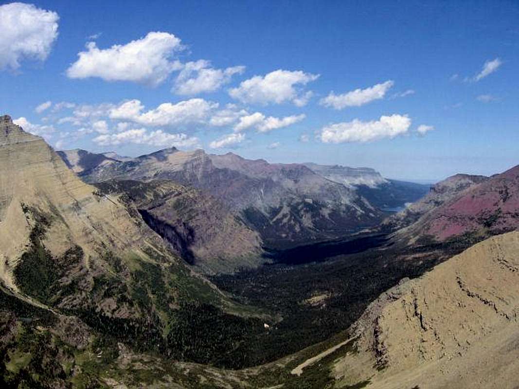
A Great RarityGlacier National Park's Triple Divide Peak is one of the world's unique places. Not in the way of Mount Everest or the Grand Canyon, because those are truly, magnificently, one of a kind, but rather it is cousin to, for example, Yellowstone National Park, and not quite alone in its uniqueness. In other words there are others, but not many; it is, truly and magnificently, part and parcel of a quite rare breed on the planet. In the instance of Triple Divide Peak, simply, it is one of three, with the other two being Mount Snow Dome, on the border between Canada's Banff and Jasper National Parks (and part of the Columbia Icefields), and a peak in Northern Siberia, of which I have been unable to find the name. From the prow-shaped summit of this modest and unassuming mountain, water begins a journey ending in three oceans—the Pacific, Atlantic (via both the Gulf of Mexico and Hudson Bay), and Arctic (via Hudson Bay)—but because Hudson Bay is open to both the North Atlantic and Arctic Ocean, and more directly so (via the Labrador Sea) to the North Atlantic, it is sometimes disputed that Triple Divide Peak doesn't really empty into three oceans, but only the Pacific and Atlantic, thus not qualifying as a hydrographic (or hydrological) apex on the same order as its Canadian (Mount Snow Dome's waters empty directly into the Pacific, Arctic, and Hudson Bay/Atlantic) and Siberian counterparts. Others can argue, if they wish, as to whether or not Triple Divide is one of three, or merely third after two; I say that by any reconciliation of terms it is rare and unique! Water from its summit eventually enters the three oceans already mentioned (the picture captions in this section name the routes taken), but... any watershed works both ways, with organisms and plants and animals going against the current as well as with it, which means that this part of the Rocky Mountains has a spectacularly diverse, adapted, variety of life coming into it from an area encompassing the Gulf of Mexico to the Pacific to the far northern chill of the Arctic Ocean. Given enough millenniums to do its work on this sort of thing, and the natural evolution of nature will...just naturally...become overwhelming in its variety! Ask any naturalist about the diversity of plant and animal life present in the Northern U.S. and Canadian Rockies—then sit down, because you'll probably be listening for quite an extended period of time. The Continental Divide runs through these mountains, creating both a maritime and continental climate, with the door being opened even wider at the apexes of Triple Divide Peak and Mount Snowdome, to create something truly remarkable. And it doesn't hurt, of course, to have all this occurring in the midst of some of the most spectacular mountain settings on the North American Continent! Overview
Additional Overview
Triple Divide Peak's View of the Neighborhood
More of the Neighborhood
Getting ThereTriple Divide Peak is on the western edge of the Cut Bank area of Glacier National Park, and is most easily reached from the Cut Bank Campground—one of the more isolated, yet still easily accessible, campgrounds in the park (see "Camping" section for more detailed information)—via a very pleasant, scenic, seven-and-a-half mile hike on an excellent trail which is followed until reaching Triple Divide Pass. To reach the campground, go south on Hwy 89 approximately 15 miles from Saint Mary, until reaching the turnoff, which is well marked. The campground is 5 miles from this point, on a gravel road easily passable for passenger cars. Information may be obtained at the Cut Bank Ranger Station, which is 4.5 miles up the road, and about a half mile from the campground. The drive from Saint Mary takes approximately 40 minutes. Map of Waterton/Glacier International Peace Park
The Red Tape, Wildlife, & Cautions Section
When To Climb, & Climbing ConsiderationsFrom late June/early July (during this time frame expect LOTS of snow in the high elevations) to early fall, depending on snow conditions. Traditional climbing season in the Northern Rockies is July, August, and September—with September weather becoming progressively colder and more unstable (sometimes dramatically so: PAY ATTENTION!) as the month progresses—but does of course vary from year to year. There are occasional winter climbs in the park, but not often, and then only by well-equipped, area-wise, extremely competent individuals. Basically, most of GNP is inaccessable through the winter, and avalanche danger, to put it mildly, is extreme almost everywhere.
Because of the nature of the rock, there are special considerations regarding climbing in Glacier National Park, and grading systems unique to the Park have been developed by both J. Gordon Edwards and the Glacier Mountaineering Society. Anyone doing more than just "trail" hiking in this part of the Rockies should read the excellent and important information put together by Fred and Moni Spicker. Much—if not most—of the rock in GNP is sedimentary and rotten, and you need to know about it: Glacier National Park Rock & Grading Systems. CampingThere are numerous campgrounds available within Glacier National Park, of which only Fish Creek and Saint Mary take reservations (not required, but probably a good idea during the peak summer tourist period, especially on weekends). There are also many campgrounds as well as motels just outside the park on both the west and east sides. Lodging, whether camping or indoors, should be no problem. Specifically, Triple Divide Peak is in the Cut Bank area, and there is a small campground (about a 40-minute drive from the town of Saint Mary; a bit longer if coming from either Browning or East Glacier Park); there are no facilities other than toilets and water. [NOTE: As of summer, 2008, no water was available; the ranger with whom I spoke did not know whether or not the problem would be corrected in the future.] See link below for current campground information, including fees. There are also several restaurants in the three closest communities—Saint Mary, East Glacier Park, Browning—to the Cut Bank Campground.
Mountain Conditions/Web Cams
External Links/Additional Information/Items of Related Interest
In TributeOn March 1, 2011, Vernon Garner, Saintgrizzly, left us after losing a bold, inspiring fight against pancreatic cancer. Or maybe he won, for he is at last free of his pain and has "shuffle[d] off this mortal coil." |




Saintgrizzly - Feb 2, 2010 12:12 am - Hasn't voted
Re: Arctic and Atlantic OceansWikipedia is incorrect. Hudson Bay interacts with both the North Atlantic and Arctic Oceans. More directly with the North Atlantic, but definitely opening onto both bodies of water.
FlatheadNative - Feb 2, 2010 12:23 am - Voted 10/10
Re: Arctic and Atlantic OceansOkay then....so much for that...I love this peak and am going to climb it next year. Great page!