-
 68405 Hits
-
 92.98% Score
-
 41 Votes
|
|
Mountain/Rock |
|---|---|
|
|
9.39057°S / 77.40366°W |
|
|
Mountaineering, Ice Climbing |
|
|
Winter |
|
|
18143 ft / 5530 m |
|
|
Overview
Nevado Ishinca 5530 m
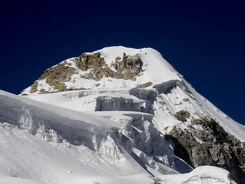
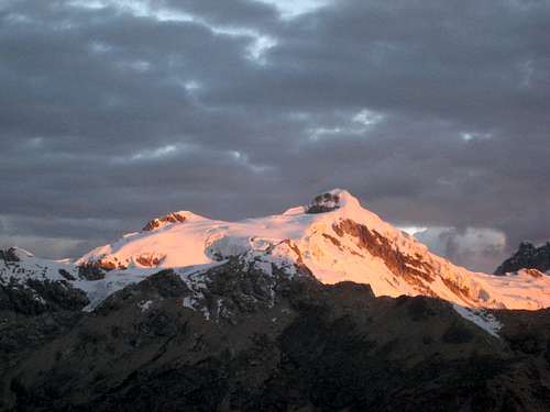
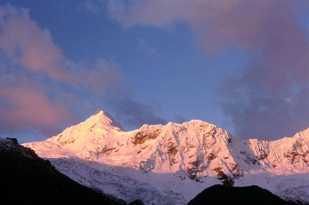
Nevado Ishinca 5530 m is a fine and interesting “nevado” - meaning "snow covered mountain" - belonging to the extensive Chinchey Massif of the Cordillera Blanca, in the Ancash region. The mountain is located at the head of Quebrada Ishinca ("quebrada" means "valley"), probably the most visited valley in the area, in reason of the quick one-day access from Huaraz and the excellent opportunity to summit different peaks. It appears like a small nevado: being situated between two giants, the 6000er Ranrapalca and Palcaraju, this latter rarely climbed, amongst such company Ishinca looks even smaller than it really is. Ishinca is a "classic acclimatization mountain", excellent to climb for skilled mountaineers to get a better training in view of a 6000er or more difficult ascents. Moreover Ishinca is a satisfactory aim also for climbers in search of a destination with low technical difficulty and a handy access from Huaraz. However, the altitude should not be underestimate and the climb, although rather easy, must be performed not too quickly.
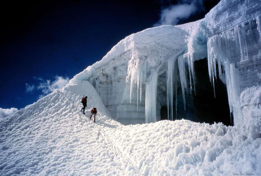
In reason of its moderate difficulty, its beauties and the great views over the surrounding mountains lying in Quebrada Ishinca and Quebrada Coyup, Ishinca is definitely one of the most frequently climbed peak from Quebrada Ishinca Base Camp, an excellent starting point for mountaineers wishing to climb also the other wonderful mountains overlooking the valley.


The Quebrada Ishinca Base camp - besides a wide plan to put on your tent - offers indeed various possibilities to climb some interesting routes, as Urus Este Normal route, shorter than the Ishinca Normal one. Also the ascent of the neighbouring Urus Central and Urus Oeste shows low difficulties, but these latters are rarely climbed in favour of the very popular Urus Este. The super-classic Tocllaraju NW ridge and the most difficult Ranrapalca Normal route belong to another climbing range and complete the possibilities.
Getting there
Getting to Lima
There are different flights getting to the Aeropuerto Internacional "Jorge Chavez" in Lima, both from Europe and North America, obviously many more from South America. The airport is situated in Callao (about 12 km West to downtown).
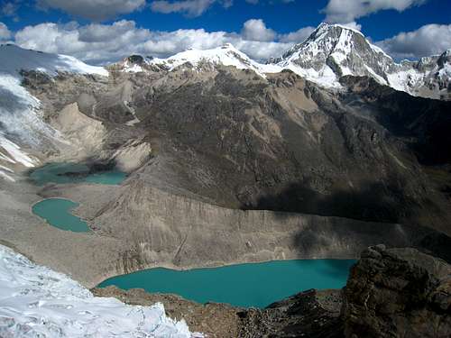
Getting to Huaraz
Huaraz, the capital of the Ancash region and Cordillera Blanca, is a lively and bustling city located about 3000 meters above sea level, which offers several opportunities for accommodation and food, and also easily the possibility to arrange on-site transportation and trekking for people who haven't previously booked any service. Sometimes there are flights joining Lima and Huaraz, but nor regularly. The best way to reach Huaraz is at moment a 6-8 hours trip by bus or private minibus (if you're travelling with a group or an organized expedition). Currently comfortable coaches provide a good transportation from Lima to Huaraz. There are six different bus companies; the best ones are Cruz del Sur, Movil Tours and Ancash Express.
Getting to Collon
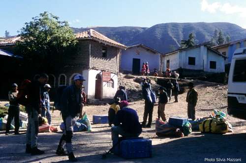
The starting point of the trail to Quebrada Ishinca is situated in Huillac, 2km past the little "pueblo" of Collon, located NE to Huaraz. In Huaraz you can take the bus to the village of Paltay, before Taricá, along the Calleyon de Huaylash main road. From there: find a ride up the dirth road to Collon and Huillac. In Huaraz you can also arrange with a small truck owner to bring you straigth to Collon. This is surely the quickest way and the most convenient option if you share the transport with other passengers. The best choice is to arrange previously for "burros", anyhow if you haven't provide for in Huaraz, in Collon you can hire arrieros (muleteers) with the traditional burros (donkeys) to help you to carry your gear to Quebrada Ishica base camp (3-4 hours from Collon, about 15 km), but make sure to be in Collon early in the morning. To improve your fitness it's as well possible to hike to the BC without burros, but it surely requires an additional effort. From Collon drive about 2 km past the village to the small group of houses in Huillac, where you will find a small PNH (Parque Nacional Huascaran) office. Here you must sign in and can also arrange burros. Another possible trailhead is Pashpa, some 30 min. above Collon, reachable by minibus or by truck. Especially when you return from Ishinca this trail is very recommended as it offers great views of Huascaran and the C.B.
Walking approach and Base Camp
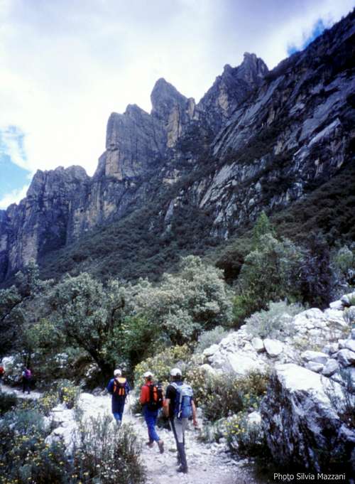
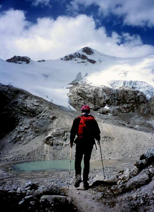
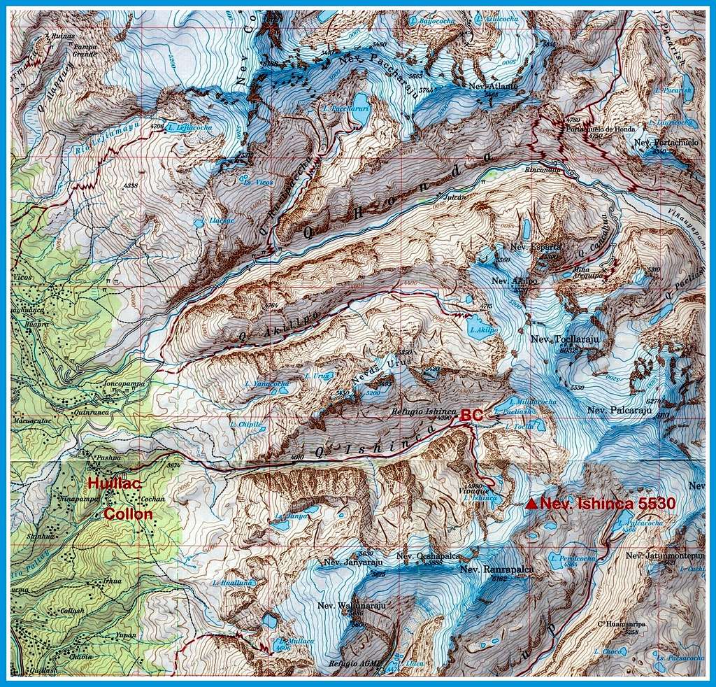
The dirty road getting to Huillac continues above and past Huillac, for about one kilometer. The trail to Quebrada Ishinca starts on a bend near the bridge.This attractive path, always heading to the East direction and leaving the stream on the right, is easy to follow. The trail crosses Cordillera Blanca widest forest of "quenuales" trees; along the way you encounter three spectacular rocky monoliths. After about 4 hours of walking you exit to a vast plain located at the head of Quebrada Ishinca, open towards the glaciers of Tocllaraju 6034 and Palcaraju 6244 m. A deviation to the right, crossing the river on a wooden bridge, leads near some huge granite boulders; here Quebrada Ishinca offers a wide area to put up your Base Camp at about 4400m.
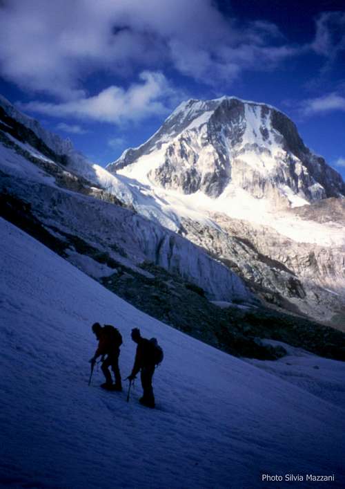
As said in the "Overview section", the Quebrada Ishinca base camp can serve for climbing also Urus, Tocllaraju and even Ranrapalca.
Routes
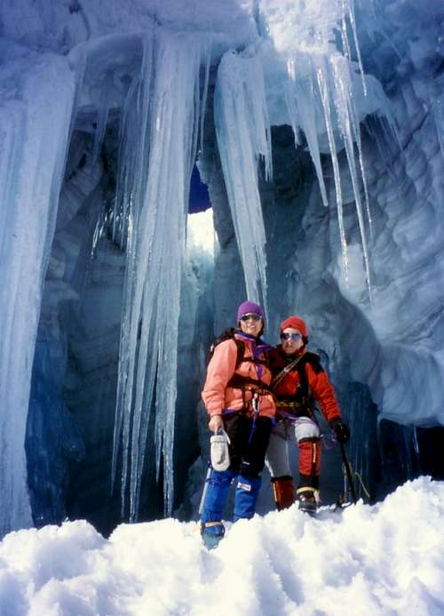
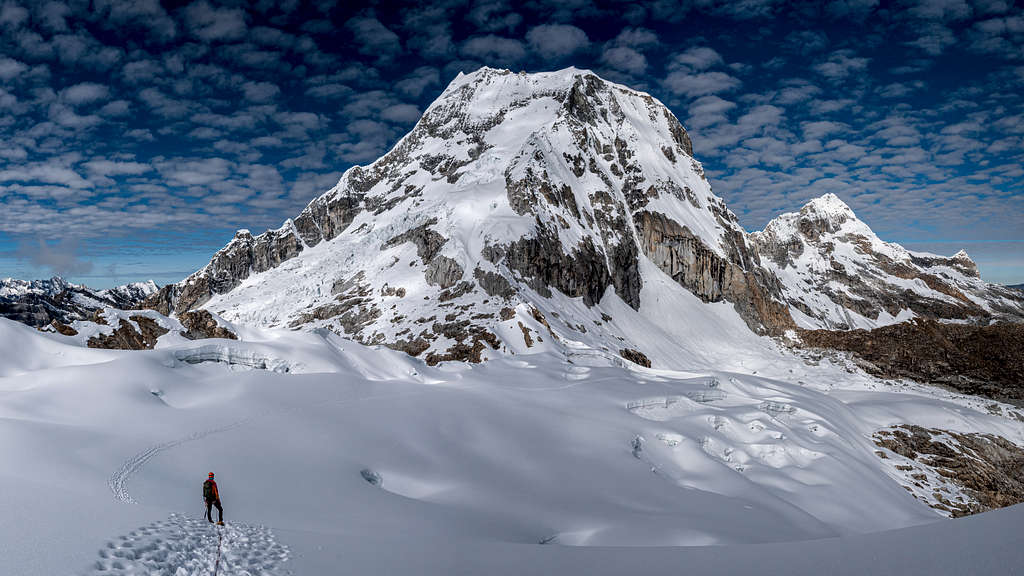
There are three main routes to climb Ishinca. At present NE ridge is a bit less climbed in favour of SW ridge, the easiest route, and NW Slopes. This latter, although not the easiest way, is currently considered the Normal route to the summit. It's not unfrequent that some climbers prefer to make the full crossing of the mountain, usually climbing up along the NW slopes and descending along the SW ridge. Anyhow the traverse can be performed in both directions.
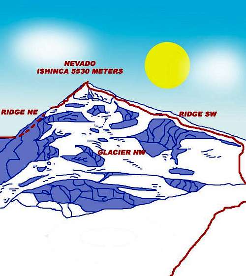
- North-East Ridge PD inf First ascent: W. Basset, J. Hough, C. Satterfield and S. Turner 23-6-1965 Altitude gain from the Base Camp: 1130 m. Altitude gain from the Laguna Camp: 550 m.
- South-West Ridge F First ascent: P. Baltazar, C. Fernandez, C. Morales, M. Romero and F. Suazo 11-5-1954 Altitude gain from Difference in level from the Base Camp: 1130 m. Altitude gain from the Laguna Camp: 550 m It's the route of the first summiters, a peruvian team, often climbed as the following route
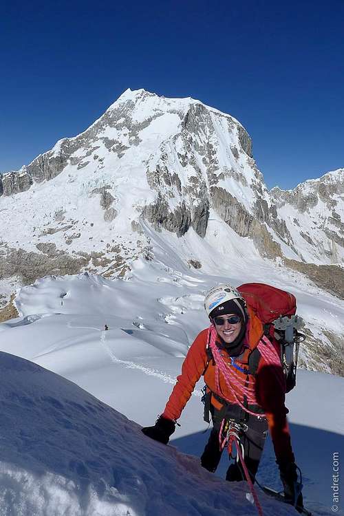
- North-West Slopes (Normal Route) PD- First ascent: J. Fonrouge, W. Lindaver, H. Salger, H. Schmidbauer and V. Staudacher 1964 Altitude gain from the Base Camp: 1130 m. Altitude gain from the Laguna Camp: 550 m.
It's the current Normal route, the most frequently climbed to reach the top.
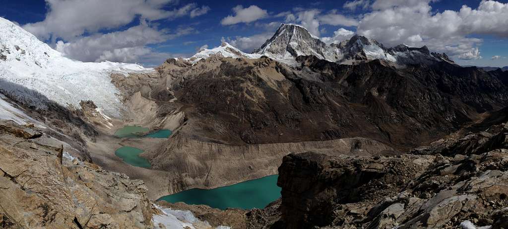
Common approach to SW Ridge and NW Slopes - From the Base Camp near the wooden bridge begin walking and keeping the right shore of the stream you meet a wide trail. Follow this trail leading up over the moraines S of the BC. Enter the valley (Quebrada Yanaraju) aside a cascading stream. At 5000 m of altitude you come to a small basin at the foot of a glacier coming down from Ishinca. There is a small lake (not to be confused with Laguna Ishinca, which is situated 100 m above to the right). It is possible to set up a camp here. 2-3h from BC. From here you can see the summit (to the E) and trail diverges depending on the route you want to chose:
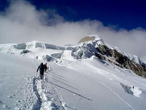
a) NW slopes - Follow the trail to the left to gain the toe of the glacier (visible from the bifurcation). Head up to the NE ridge, then turn right towards the summit pyramid and climb directly the steep snow slopes to the summit.
b) SW ridge - Follow the right branch of the trail up to the top of a moraine ridge (above laguna Ishinca). Follow this ridge, scramble up some scree slopes, gain the glacier and head up to the col between Ishinca and Ranrapalca (5300 m). From there follow the SW ridge and finally climb the summit pyramid.
On both routes the glacier is easy to pass (<30°, some crevasses). The summit tower has a short, steep section (50 m, 40° resp. 50°, snow).
Descent: following the NW slopes is the best choice
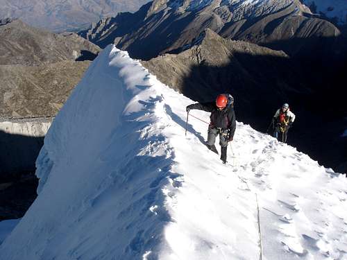
Essential gear
Rope, crampons, long axe, eventually some pickets and 1-2 ice-screws
Red Tape
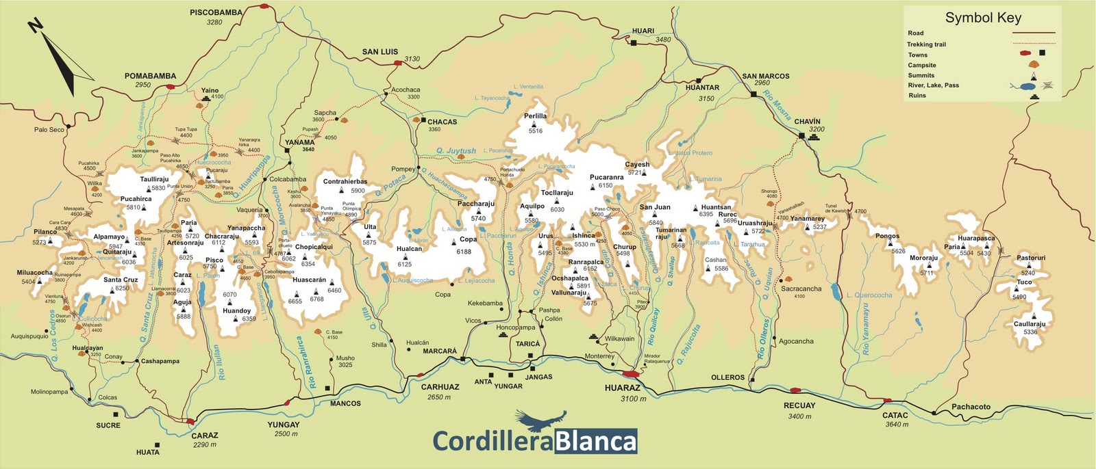
Nevado Ishinca and the entire Cordillera Blanca are located within Parque Nacional Huascaràn, one of most spectacular high mountain area in Perù, established in 1975 and acknowledged as an Unesco World Natural Heritage in 1985. Unesco Link here: Unesco info The Huascaràn National Park is administered by the Instituto Nacional de Recursos Naturales (INRENA). An entrance fee is due. In 2011, the fee for the Huascaran National Park was 65 Soles for 21 days. Since 2011, officially nobody is allowed to climb without a Mountain Guide, except for the persons who are members of a Mountaineering Association. In this case, the permit can be obtained at the National Park Office in Huaraz, showing the Alpine Club card.
Always be respectful of this fragile landscape. Carry-out everything you bring in and any litter that you carry-in or that you find on the routes and help to conserve the beautiful landscape!

Take care of nature as usual in the natural sites and particularly within the boundaries of all the natural parks.
Accomodation

There is a wide choice of options for accomodation and meal in Huaraz. At the head of the valley near the Base Camp is located the Refugio Ishinca, a shelter offering sleeping places for rent and meal. As this attracts even more people many climbers fear that the wonderful setting of the valley will be spoilt by the time. An additional facility is the Bivacco Giordano Longoni at Laguna Ishinca, even if there is to say that this latter is surely more useful for trekkers or for mountaineers wishing to climb the most challenging Ranrapalca and Oshapalca, rather than to climb Ishinca. Indeed Ishinca can perfectly be climbed in one day starting directly from the BC with a difference of level of about 1100 meters. However people very little acclimatized may possibly put up an intermediate camp at an altitude of 5000 meters.
When to climb
The dry season in Cordillera Blanca goes from middle May to the early September, coinciding with the local winter, being the Cordillera Blanca situated in the southern hemisphere. Anyhow, still there is usually too much snow dust in May and June for the ascents, the months of July and August are more indicated. Usually the rainy season starts in early September.
Climate
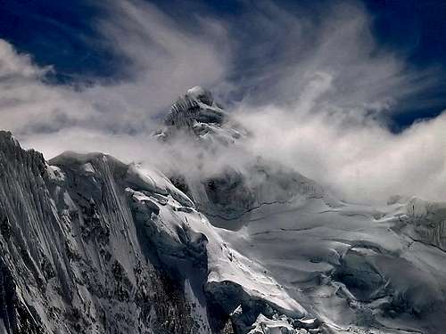
The climate of the Cordillera Blanca is influenced both by the dry air coming from the Western deserts and by the wet air coming from the Eastern amazonicos forests. From May to early September, Cordillera Blanca has some periods of clear weather, expecially in June and July, generally with an alternation of few days of bad weather. It's the typical Andean dry season. Even though technically it is winter during this period, the Cordillera Blanca is so close to the Equator that the days are all more or less 12 hours each and do not change in length. During these days the mountains can get some amounts of snowfall. Sometimes August may be a month of change, expecially in the second half, with possible afternoon storms. Being the "Blanca" located in the Southern hemisphere, North and East faces get good conditions first. Cordillera Blanca is suffering because of global warming, with its "tropical" glaciers melting at a rate even higher than the global average.
Mountain condition and info
The Casa de Guias near Plaza de Armas in Huaraz is the spot where to gather information about recent snow and weather conditions. You will also find a posting board to place adds to find climbing partners and equipment for rent or sale.
Meteo
Weather Forecasts
Meteo Huaraz - Ancash region
Guidebooks and maps
Guidebooks


- "Classic climbs of the Cordillera Blanca – Perù" by Brad Johnson, 2009 revisited edition - in English
- "The Andes - A guide for climbers" by John Biggar, 3rd edition, 2005 - in English
- "Escaladas en los Andes" by Juanjo Tomé Ed. Desnivel, 1999 - in Spanish
- "Climbs of the Cordillera Blanca of Perù" by David Sharman, 1995 - in English
Maps
Alpenvereinskarte 0/3a Cordillera Blanca Süd (Perú) 1:100000
Skyline Adventures has 2009/2010 edition maps covering the Cordillera Blanca. It is split into a North map and South Map. They have marked current trails (classified into primary, secondary, and cairned routes) and campsites (established and advanced climbing). The scale is 1:75,000 and is printed on water repellent paper. They can be bought, along with other books and maps at the Casa de Guias in Huaraz.
External Links
- Unesco World Heritage
- Parque Nacional Huascaràn
- Andes Handbook - a site with complete pages about the mountains of the Andes including Ishinca with sketch of the route NE (spanish/english)
- Cordillera Blanca on Wikipedia

