

lcarreau - Apr 26, 2008 12:26 pm - Voted 10/10
We have aBuckhorn Mtn here in central AZ,
but it looks nothing like this!
It has a fair amount of cactus and
desert vegatation about a mile
beyond the trailhead, then it
follows a spring-fed creek up to
some pines. From the summit, you
can see Fountain Hills and Mesa
far below in the Sonoran Desert.
Guess I better get out there and
take some more photos. Take care!

tleaf - Apr 27, 2008 5:41 pm - Hasn't voted
Re: We have aOur Buckhorn is a deceivingly long way up the trail from the trailhead. Beautiful country as is yours (: Happy trails!
Trina
tleaf - Apr 27, 2008 10:08 pm - Hasn't voted
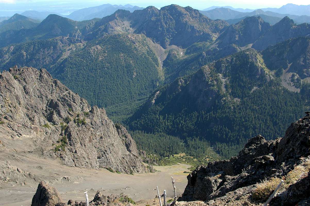
Re: This is the firstHi OMB, Buckhorn is considered moderate in regards to elevation gain and distance, around 4500 ft but the trail is looonnnngggg, 5.3 miles to Marmot Pass then another mile to the SE summit. You need endurance, food and water. The interesting route is to shoot up from the Big Quilcene River trail no. 833 up the obvious talus (or snow in winter) slope that ascends 2000 feet in about 1 mile to the col between Buckhorn's two peaks. I highly recommend going hiking up there and staying a night to really enjoy the surrounding mountains.
Trina


Comments
Post a Comment