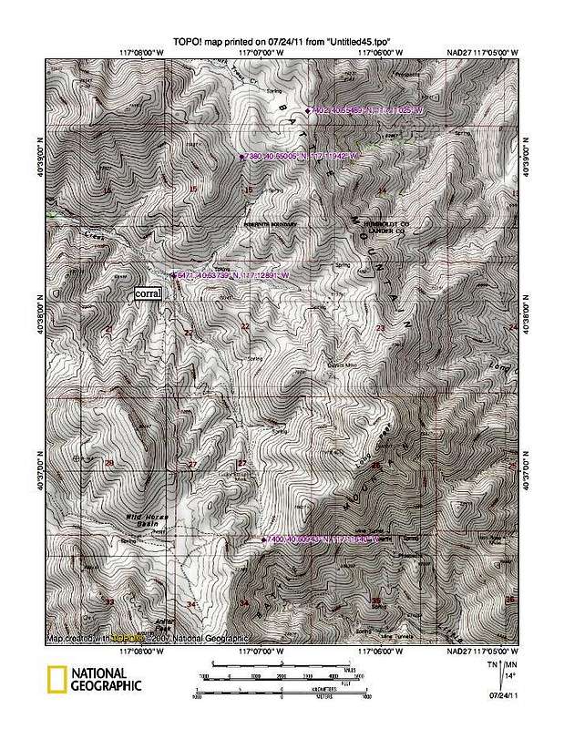
After cresting the saddle of Cottonwood creek, the road drops to a corral. Take a right at the corral and follow a jeep track as it works its way up to another saddle as shown. We followed a rough road to another saddle and didn't drop down into the next valley, although in dry conditions, you could do so to get a little closer to the mountain. Our hike from where we parked was only 5 miles round trip and the elevation gain was somewhere in the 1500 foot range, including the ups and downs. A route map will be forthcoming.


