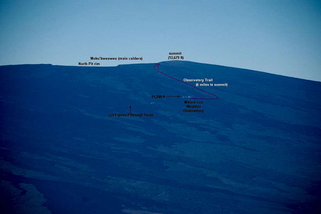
Note: view the original size photo for easier caption reading.
A close up of the area around the NOAA weather observatory. The light-colored terrain is generally pahoehoe lava (the easy sidewalk-like stuff to travel over). The darker terrain is the awful a'a. The trail, which goes straight up the more or less gentle slope avoids the long switchbacks of the 4WD road (visible on the map). The trail keeps to pahoehoe slopes as much as possible (95 percent of the travel). March 5, 2007.

Comments
Post a Comment