Toggle navigation
Mountains
Routes
Images
Trip Reports
Forum
What's New
People
Areas & Ranges
Articles
Trailheads
Canyons
Huts & Campgrounds
Albums
Logistical Centers
Fact Sheets
Lists
Custom Objects
Gear
Plans & Partners
WELCOME TO SUMMITPOST
SIGN IN
REGISTER
USAFA North Ridge
Additional Parents
Image
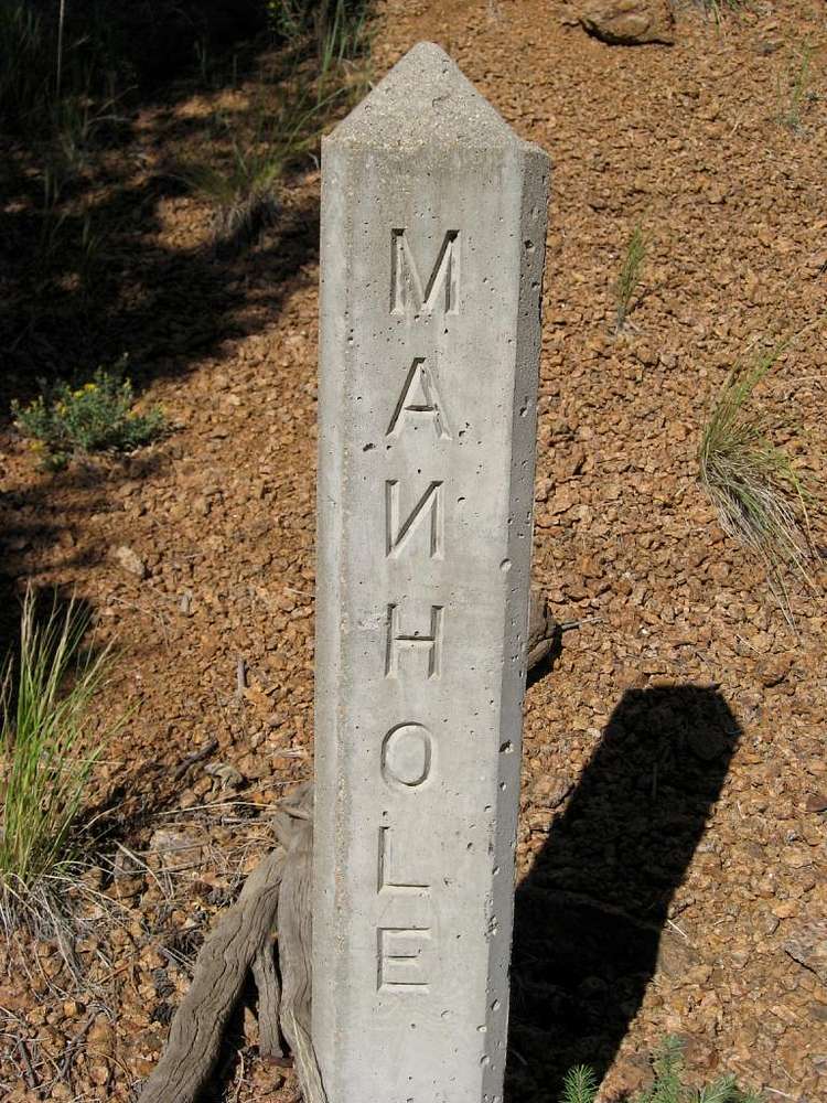
Oh, SO close....
View High-Resolution Image
Oh, SO close....
They got the
E and L
right ... but not the
N
. Eh, 2 out of 3 isn't bad. These manholes appear alongside the old road and power poles on the hike near the creek.
« PREV
NEXT »
Jeremy Hakes
on
Sep 4, 2008 10:29 am
Comments & voting
Other parents
Lat/Lon:
38.95890°N / 104.9073°W
Image Type(s):
Humor
Image ID:
438962
1630 Hits
0
% Score
0
Votes
Log in to vote
Comments
No comments posted yet.
to post!
Don't have an account?
USAFA North Ridge
(Route)
« PREV
Viewing
#8 of 8
GALLERY
You are at
the Last
Image
Jeremy Hakes's Image Gallery
« PREV
Viewing
#638 of 927
GALLERY
NEXT »
×
You need to login in order to vote!
User Name
Password
Remember me
Forgot your password?
Log me out when I close my browser.
Keep me logged in all the time.
sign in as a user
Don't have an account?
Register now for FREE
Rating available
Suggested routes for you
People who climb the same things as you
Comments Available
Create Albums
Register Here


