
-
 2197 Hits
-
 0% Score
-
 0 Votes
|
|
Custom Object |
|---|---|
|
|
Designing pages before submitting on What's New - Please do not vote on this page |
Overview
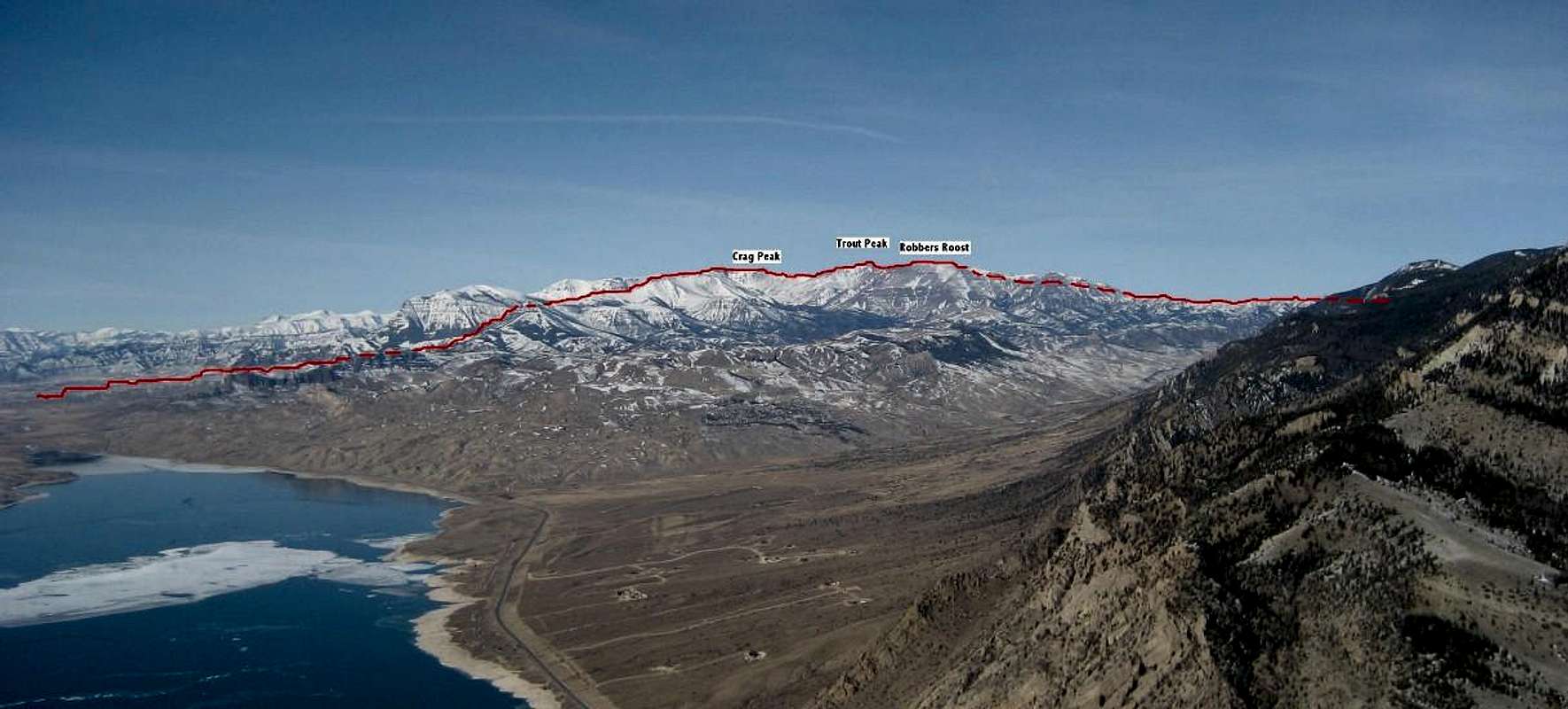
 Fortress Mountain
For someone who loves the thrill of solitude and rarely-climbed summits, Wyoming's Absaroka Range offers countless peaks that are remote and see only a handful of ascents every year. Fortress Mountain is one of these; its location in the heart of the range offers views of a vast sea of mountains and takes anyone who would climb it through some spectacular, wild, and dangerous country.
Fortress is the 4th-highest peak in the SW section of the Absarokas, and its distinct summit prow is easily seen from most of the important mountains in the area. It is really the highpoint of the massive Sheep Mesa, which is a high plateau over 11,000 feet and has several long fingers that extend north, separating the headwaters of Sheep, Blackwater West Fork, and Blackwater creeks. In his book Select Peaks of the Greater Yellowstone, Thomas Turiano likens the experience of being on the summit to "standing on the bow of a huge ship cruising through the ocean of Absaroka peaks."
Another added bonus of climbing this great mountain is a wonderful view of the Blackwater Natural Bridge, which is a huge arch located near Coxcomb Mountain. This formation is so remote and difficult to reach that no one really knows how big it is, with estimates ranging from 70 to 240 feet, which would make it one of the largest in the world.
Getting There and Climbing Information
Head west from Cody, Wyoming towards Yellowstone Park on Highway 16. Start marking miles after you exit the third and final tunnel next to Buffalo Bill Dam and travel for about 32 miles. Just after passing Rex Hale Campground, you will see a sign on the left for the Blackwater Creek Ranch; near this sign is the large brick memorial for the firefighters who died in the 1937 fire on Clayton Mountain. Drive across two bridges and park at the trailhead on the right side of the road before it heads up the hill to the gate. If this 4WD road is open it will cut 2-4 miles off of your round trip, but it was not open in late June of 2014; inquire with the Forest Service before you head out and want to drive the road. On the Fire Memorial Trail
Follow the trail as it climbs up to meet the road; do not wade Blackwater Creek here, as there is a bridge that is well-signed after about a mile of hiking on the road. Once you cross the bridge, follow the Fire Memorial Trail for a couple of miles until you see a sign marking the cutoff of the Natural Bridge Trail. Do not follow the sign, as it will leave you high and dry without a trail in a meadow; instead, stay on the lower trail for a few hundred feet until it splits and then take a right - this is the true Natural Bridge Trail, which follow the West Fork of Blackwater Creek to its source.
 Trail Sign
 Deadfall
I have been on many trails, and I won't lie by saying that this one is pleasant, as it actually sucks - a lot. The first reason it sucks is that you really don't get any views other the trees for the next five or six miles, and the second is that many (or as it seems at times, most) of the trees are fallen across the trail. I have never seen so much deadfall on a trail anywhere, and it seems as if trail maintenance hasn't taken place in decades! Be prepared for lots of gymnastics and hopping over and under huge logs; the first three miles seem to be the worst.
 Blackwater Creek Crossing
At 9100 feet the trail crosses to the east side of the creek. In late June this stream was a raging torrent that would have been a tricky wade, but fortunately there was a good log spanning the water about 50 yards downstream. The trail meets the stream again at about 9700 feet, where there are finally some nice spots to set up camp. The views of Sheep Mesa are wonderful once the treeline is reached around 10,000 feet, and are a welcome relief after the monotony of the trail. Once in the bowl at the end of trail, the most direct route to Fortress is to follow grassy slopes up the west (right) side, but in early season, overhanging cornices above may force you up the left side, which does add about half a mile to the ascent.
 Sheep Mesa
Once on top of the Mesa, look due east to see the vertical cliffs of Coxcomb Mountain and the Blackwater Arch, which is truly massive! Head south up the gentle slopes of Peak 11,590 (Note to peakbaggers: this is a ranked summit) and then descend to the saddle to Fortress, which you will now see for the first time.
 Coxcomb and Blackwater Arch
 Fortress Mountain
The traverse is Class 2 for the most part, with one easy Class 3 downclimb; I climbed this peak in early season, and the snow on the way up the other side around the little rock pinnacle to Fortress was much too dangerous, so descend on steep scree slopes to the right and then up to bypass this obstacle if needed.
 Traverse to Fortress
 Almost There...
Hike up the last steep section to reach the easy grassy plateau leading to the summit, which is farther than it looks. The summit has a rock wall enclosure facing east, much like nearby Avalanche Peak, and as mentioned before, the views are tremendous! In early season it is possible to glissade much of the descent back into the bowl; my climbing partner and I did one of almost 600 feet on the west side.
 Summit ViewSW
Climbing Fortress Mountain entails a round trip hike of approximately 20 miles and 6,000 feet of elevation gain.
 Summit View SE
Red Tape, Camping and When to Climb
There are no fees or permits required to hike the Fire Memorial Trail or the Natural Bridge Trail. As much of this hike takes place in the forest on a trail with limited visibility, be extra cautious in looking out for wildlife. This area boasts one of the most dense populations of grizzly bears in the entire U.S., and black bears, moose, and mountain lions can present danger to hikers as well. There are rumors that some trail maintenance in the area has ceased due to bears harassing the workers; I would not even consider hiking this trail alone or without an ample supply of bear spray! Camp near Blackwater Creek
There is one established camping spot at around 8500 in a meadow along the trail; other than that, the only feasible spots are at or near the treeline.
This peak would be a serious winter mountaineering challenge before June. Depending on snow levels, the earliest time to climb would be mid-June and then run through mid-September.
Fortress Mountain on listsofjohn
Blackwater Natural Bridge
Blackwater Creek Ranch
Forest Army Blog
Army Cutworm Moths and Grizzlies
Shoshone National Forest
Wikipedia entry for the Shoshone National Forest
 Fortress from Clayton Mountain
Peaks to add
Tim 135.0 42,300 Lisa 54.0 19,500 through Nov. 6Definites:
Peak 7982
Peak 7242
Peak 5613
Little Bald Ridge
Horse Creek Mountain
Spar Mountain
Burro Flat Mountain
Citadel Mountain
Peak 10328
Maybes:
Ilo Ridge
Peak 5647 and 5579
Peak 5290
Peak 9150
Peak 9130
Peak 9140
Peak 4845
Cottonwood Benchmark
Large Picture Code storage

Add for mouseover:title="title"
  |
Other
 |
Yo
 |
Overview
 Granite Peak
I made plans to climb Granite Peak in September 2010 with SP member GaryPJ almost a year in advance, and as Labor Day weekend approached, we added my friends Terry and Jan as climbing partners for the trip. Jan and I were fresh off of our conquest of Gannett Peak a few weeks earlier, and I was excited to have a go at my second state highpoint. Gary had attempted Granite once before, and had had an unpleasant experience with weather on Froze-to-Death Plateau, so we decided to attempt the peak via the Huckleberry Creek approach. Our plan was to hike in as far as possible on Friday, establish camp near Avalanche Lake on Saturday, summit early Sunday morning, and come out Sunday evening or Monday morning. We were leaving open the option of trying to summit on Saturday if the weather was good, and as the last weather forecast we got before leaving showed a system moving in on Sunday morning, we were kind of shooting for an earlier climb.
 Above Avalanche Lake
Friday
 Granite over the top of McDonald's in Columbus
 Our tent-less campsite
Due to work schedules, we all arrived at the trailhead at different times on Friday afternoon, and Gary and Terry got a head start on Jan and me. The hike to Mystic Lake went quickly for us, and we caught up to the other guys just past where the Froze-to-Death trail branches off of the main trail. We ate dinner at dusk and then located the climber’s trail that leads left up into the Huckleberry Creek drainage. We followed this trail up through the forest, eventually using headlamps in the increasing darkness. We hoped to find a suitable spot to camp once the trail leveled out next to the lake, but we ended up in boulder fields that were treacherous to negotiate in dark. We finally gave up trying to find a place to pitch one tent, much less two, and decided to just sleep out under the stars on a few small strips of grass right next to one of the few places where we found some semblance of a trail. It wasn’t too cold, but our bags were a little dewy and soggy the next morning.
Saturday
 The first look at the goal
 Getting water at Princess Lake
We got an early start on Saturday and found the going much easier in the daylight, and we refilled our water at the north outlet of Island Lake. From here we had some tricky stream crossings on logs as we made our way around the east side of the lake, and we climbed up the steep slopes leading to the next small lake, after which the terrain turned to boulder hopping for the rest of the way to Avalanche Lake.
 Peak 10328 (Princess Lake Peak)
 Cold Lake
We set up camp about 11:00 at a nice spot on the north shores of the lake, and decided that since the weather still looked good, we’d have a go at the peak after a quick bite to eat.
 Looking back across Mystic to Mount Wood
 Boulder scrambling
 It's a long way...
We set out onto some of the worst boulder fields I’ve ever been on; even the car-sized ones would sometimes move when stepped on, and it was very tricky to move in some spots. While the peak looked close, it soon became apparent that given the terrain, the party’s varying levels of comfort moving over it, and a cloud system that came out of nowhere, we weren’t going to get close to the ridge, much less summit the peak. We were all back to camp by 3:00, by which time the small storm had moved through and Gary and I decided to summit the unnamed mountain next to camp.
 Peak 10328
 Gary on the summit boulder
 A small victory...
We had an enjoyable scramble and were rewarded with spectacular views of Granite Peak and the lakes around the area. By the time we made it back to camp, another storm system had moved in, and snow had started to fall in a hurry. We had a decadent meal, which included some excellent cheesecake from a freeze-dried package!
 Summit views
 Granite in the storm
Sunday and Parting Thoughts
We woke up the next morning to a little snow falling and thick clouds, which soon parted a little to reveal that Granite had received quite a bit of snow up high; we decided to admit defeat and packed up camp. The morning view...
 Retreat in a hail storm
 Descending from the boulders
The ensuing mile of slick, wet boulders back down to the next lake confirmed that our decision to turn around was the correct one, and we made it back to Mystic Lake around midday.
Gary decided to stay by himself and camp another night and get in some R&R before heading back to civilization, while Jan, Terry, and I split up and hiked out at our own respective speeds. I was back in Powell by around 6:00, vowing to return again someday.
 Mystic Lake
I definitely learned some things from this trip; if I attempt the peak again from the West Rosebud trailhead I will go by Froze-to-Death instead of Huckleberry. I know it is exposed up high and the weather is an issue, but the speed of travel in the Huckleberry drainage is just a drag, even for an experienced rock-hopper. I’m actually thinking now that I’d rather try the Southwest Couloir route, so that’s on my list for next summer. I had never been in that part of the Beartooths before this trip, and it is a stunningly beautiful place! I also learned to never assume that there will be camp sites next to a lake, especially if you are heading there in the dark. At least it was clear and the stars were nice!
 Beartooth beauty