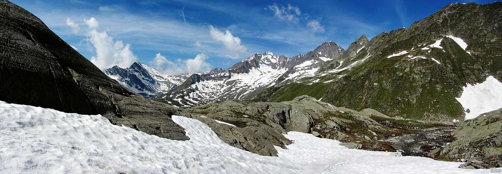
Panoramic view to Ginggljoch (2938m) and Roteck (3337m)
I've just left the trail from the Lodner Hütte up the Zieltal to the Johannisscharte, and am ascending the gentle slopes of the Lodner just north of its rocky western ridge. But sometimes you've got to turn around or you'll miss the best views!
The Ginggljoch is the high pass left of center. Normally, by this time of the year, there shouldn't be so much snow up there, but 2013 wasn't normal. There is a marked hiking trail over the pass. A day after taking this photo I would cross it. Higher up, the snow had completely hidden the trail and so I had to find my own way. As visibility was perfect and the terrain wasn't really steep, it wasn't too difficult. The main problem was that the snow got softened by the strong sun, so I had to work a bit harder to make progress.
Roteck, in the center, is the highest mountain of the Texel Group. The normal route basically follows the long east ridge, prominently visible here. At first it's hiking, but high up you have to scramble a bit (UIAA grade I), and there are some exposed sections. A steel cable helps to secure the way.
15 July 2013.
