Anyway, here are the pics:
Just up Angeles Crest Hwy from La Canada looking down the Arroyo Seco. This is the canyon up from JPL.

If you look closely you can make out the Ken Burton Trail in this picture switchbacking down the backside of Brown Mountain.

Near the convergence of the road to Tujunga and Angeles Crest.

Looking down towards the Switzer area

Forest "Closed" Sign

Strawberry Peak Trailhead. Nearly completely washed out and burned.

This was taken just up from Redbox. It looks the area just below Mt. Wilson (the backside) was pretty much spared.

This is the opposite side of the street from Redbox, looking in the direction of Mt. Lawlor.

The Canyon below Redbox. (This picture was taken after driving down the road from Redbox a little- the parking lots there were closed off).

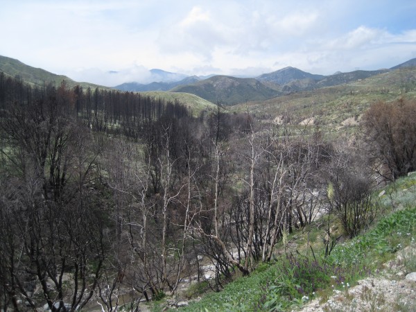
A slightly more close-up view of some of the damage caused by the fire.
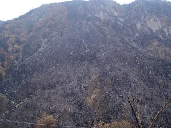
Given all the burned areas, almost all these areas must be pretty much one gigantic mudpie after all the rain we've had this week.
Gusto


