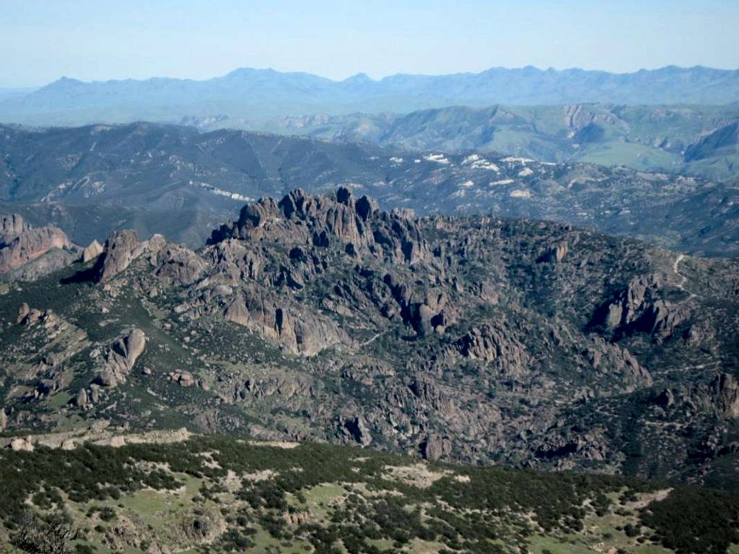
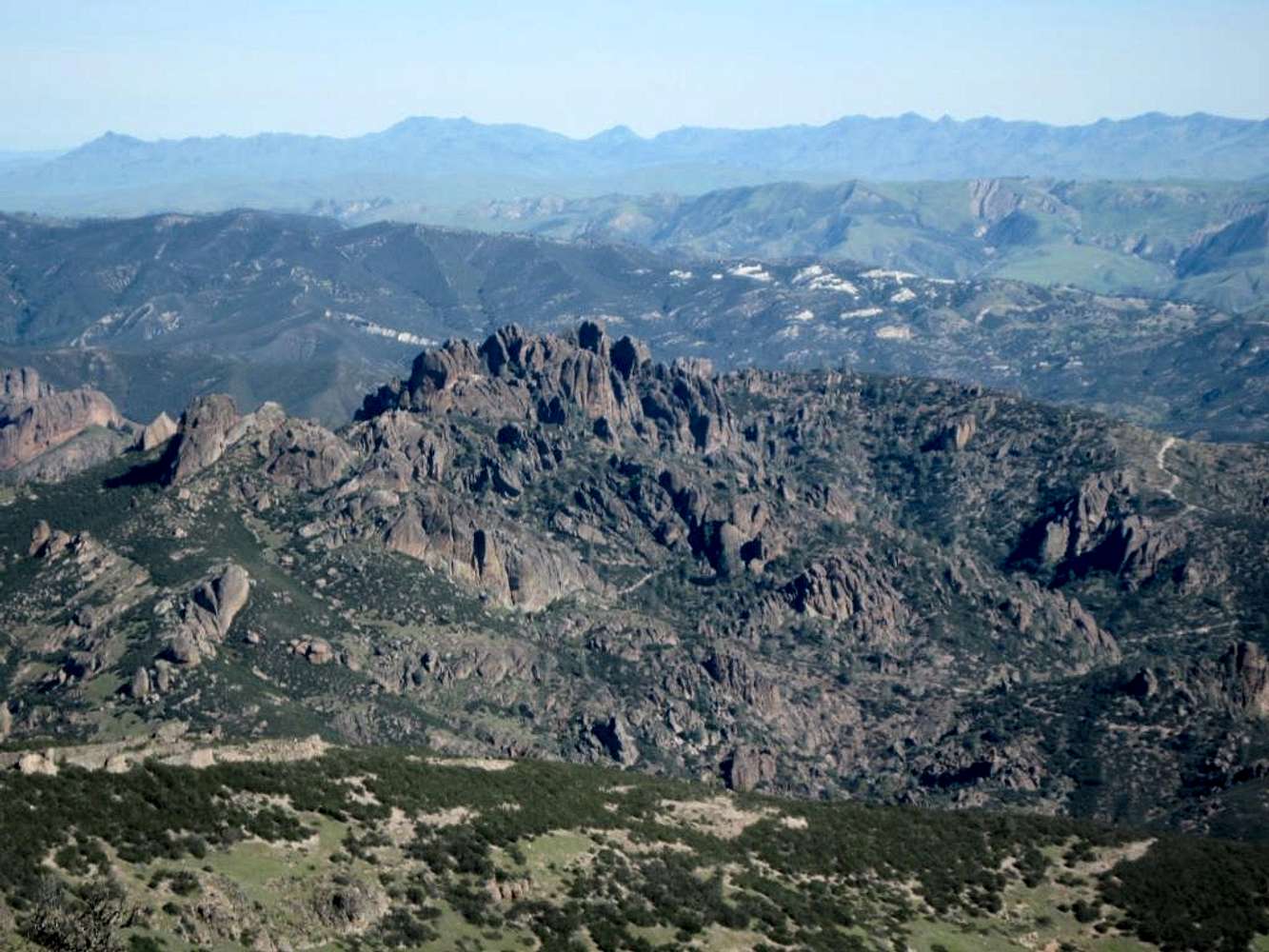
Taken April 2011 from North Chalone Peak about 10AM. The trail at the lower right is coming up from the reservoir to Chalone Peak. Trail in the center is from the reservoir up through the pinnacles to the high peaks area, which is at the top of the ridge. Trail at the upper right is coming down from the high peaks area toward the east side parking lot. The San Andreas fault runs in the valley between the first and second ridgelines behind the high peaks ridge (its where highway 25 is located)


