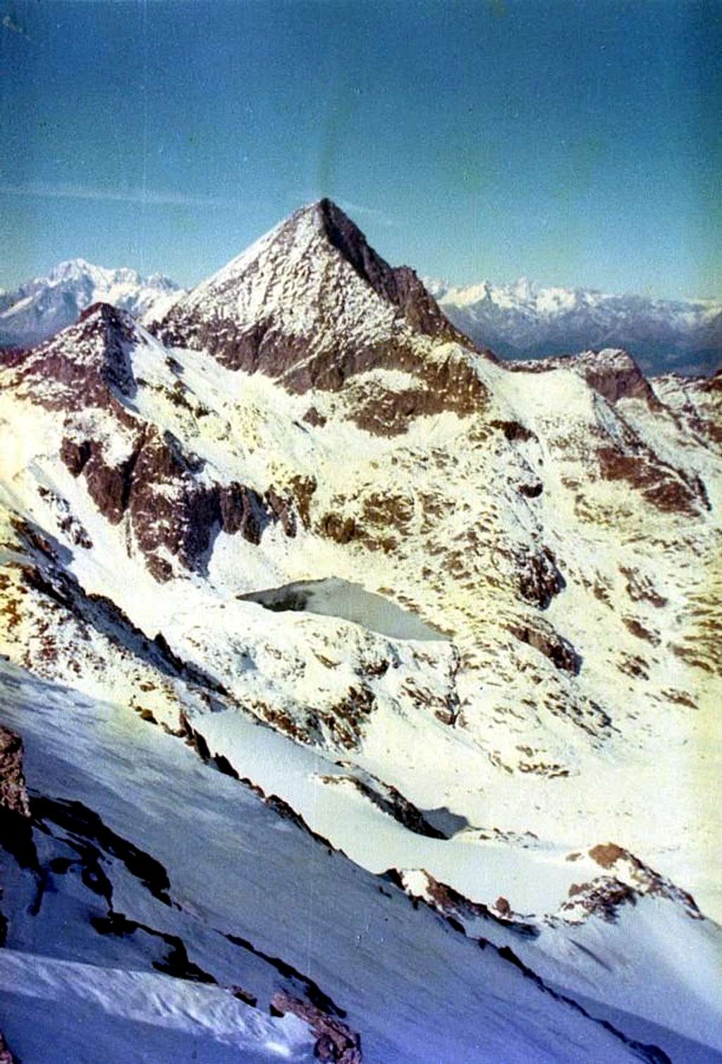
Punta di Lussert From Leppe to Lussert & Emilius 1978
From Leppe Eastern Summit (3303/4m around)
to
Subgroup of Mount Emilius and in distance the Mount Blanc (4810m).
From left (North): Three Capuchins Peak (3284m) and Hill (3242m), at the beginning of Emilius South-southeast Crest also Standard Route & (to right) Testa Blantsette (3140m).
In bottom and in middle: the long watershed through the West-southwest Ridge, between the tall Walloons of Laures (to right or North) and Grauson/Lussert Wallon (in left or Southern) to Lussert Pass (3181m)
with the
Lussert Summit (3216m or 3221m) and, hemi occulted, Laures Pass (3035/6m).
End October/beginning November 1978
Summitpicture
by
Osvaldo Cardellina
