


lcarreau - Nov 3, 2007 2:37 pm - Voted 10/10
WOW ...Glacier Island isn't an island, anymore! I had been on Gobblers Knob in the mid-1980s. Didn't see any turkeys, but the deer mice were THICK.
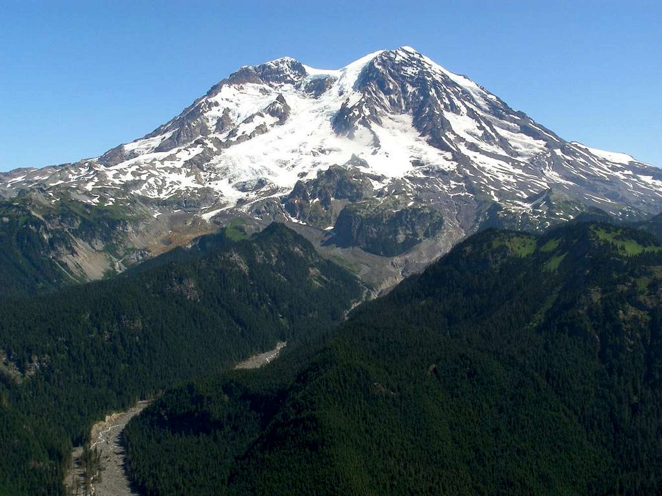
At one time, I drove my car ALL the way to the bottom of Klapatche Ridge. This was the terminus of the Westside Road. Now, the Westside Road is CLOSED just south of the Fish Creek crossing, right? THANKS, Bob !!!
"So MANY mountains ..."

Bob Bolton - Nov 3, 2007 8:05 pm - Hasn't voted
Re: WOW ...I know the Westside Road is closed at I believe around the 3-mile point. Such a loss, not sure exactly where, but Fish Creek sounds reasonable because that would indicate a bridge washout. However, there were many more washouts last November than merely bridges. What an incredible storm that was! Thanks for your vote! -Bob
lcarreau - Nov 3, 2007 8:50 pm - Voted 10/10
Okay, I willCLICK on a USGS link. I'm assuming scientists
are keeping TABS on this particular drainage.
There's a "long-going" theory that "sub-glacial lakes" are forming BENEATH the South Tahoma Glacier, releasing SUDDEN outburst floods or JOKULHLAUPS. Historically, they have occurred at NIGHT. Geothermal heating creating sub-glacial melting. It can happen in a moment's NOTICE on RAINIER! Thank you, Bob!!!
I'm not trying to create widespread panic.
I can see why this Mountain attracts people.


Comments
Post a Comment