-
 9127 Hits
-
 77.48% Score
-
 8 Votes
|
|
Route |
|---|---|
|
|
46.07316°N / 114.4124°W |
|
|
Hiking, Mountaineering, Scrambling |
|
|
Summer, Fall |
|
|
Most of a day |
|
|
Class 4 |
|
|
Strenuous |
|
|
I |
|
|
Overview
Route Type - Scramble Class Level – Class 3 & 4 (a few Class 5 moves may be required high on the ridge) Elevation – 9,162’ Gain - 3,150' Distance - 4.8 miles (one way) Length of time required to complete route – one day
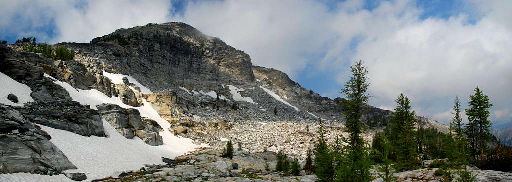
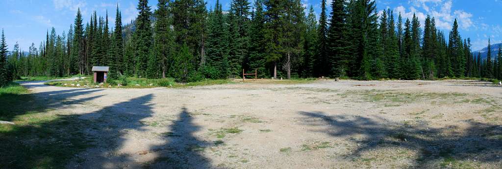
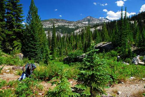
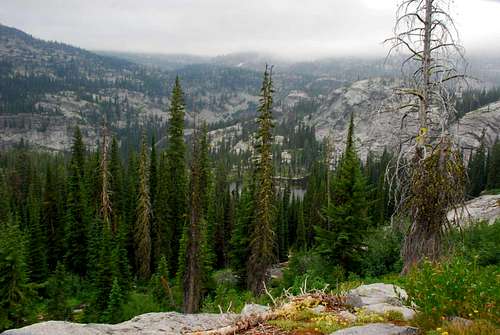
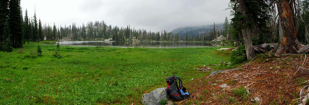
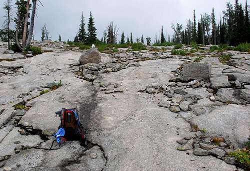
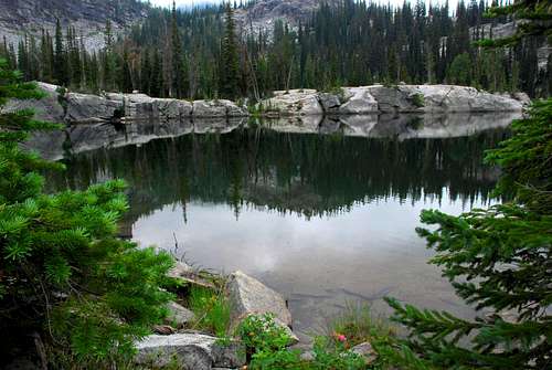
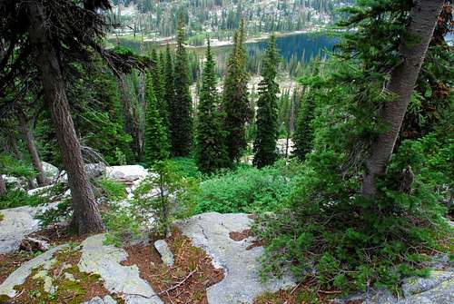
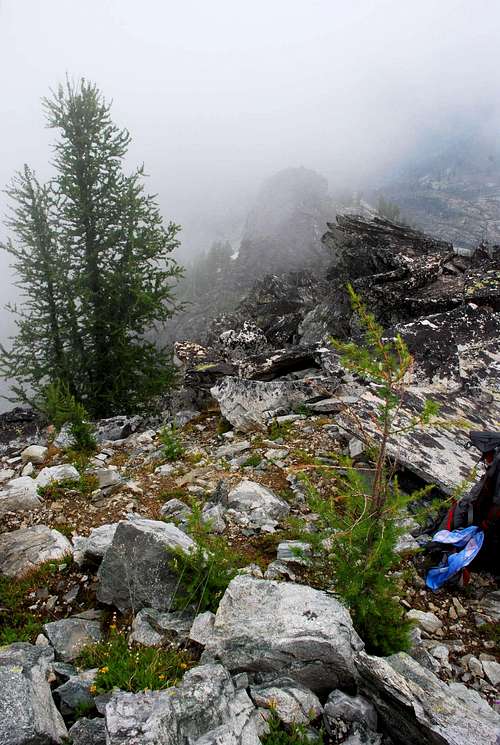
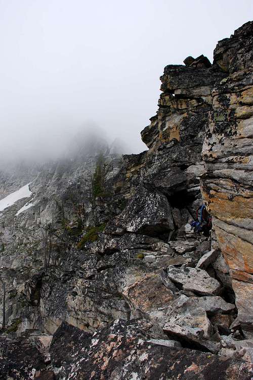
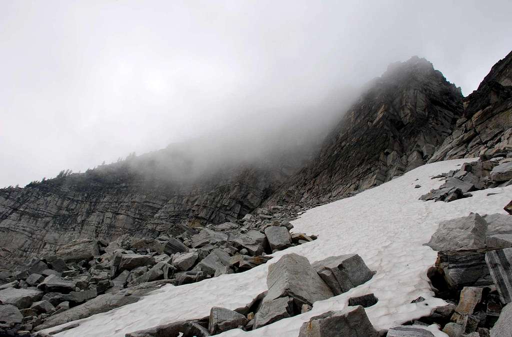
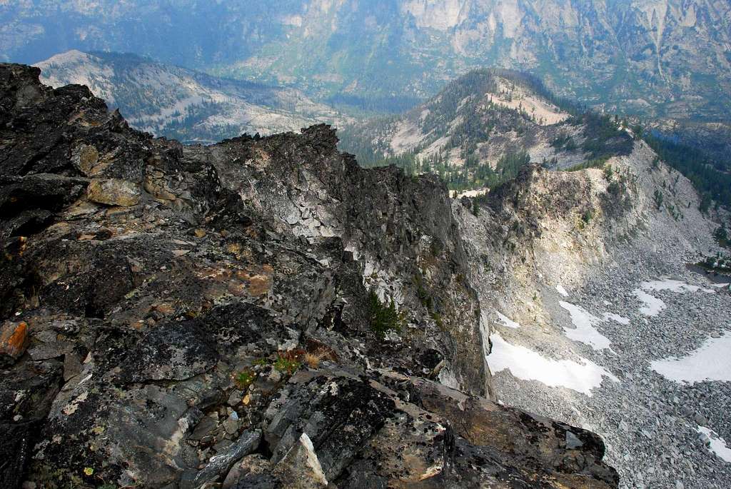
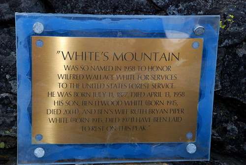
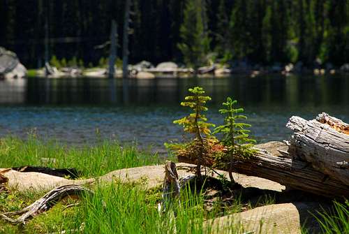
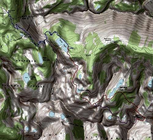
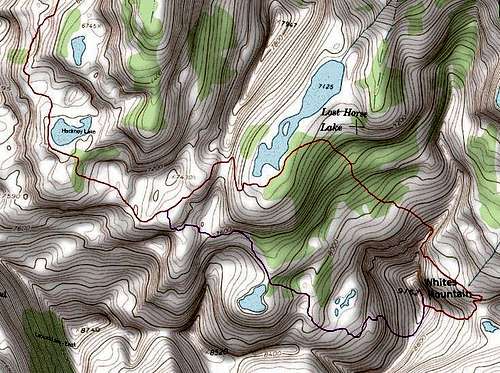
Whites Mountain is located between the Rock Creek Drainage (to the south) and the Lost Horse Drainage (to the north). It’s way back in the Bitterroots, on the Montana side of the state line, though some consider the best access to be from Idaho. Because of its remoteness, this peak is seldom climbed. When I reached the summit on July 19, 2007, it was obvious (from the little-worn track near the summit) that I was one of a limited number who had made the effort to reach the summit. In a way it’s too bad more don’t visit this highpoint in the midst of pristine wilderness. The peak was named in 1958 for Forest Supervisor, Wilfred Wallace White (born July 11, 1877, died April 13, 1958). A plaque on the summit states that the remains of Wifred’s son, Ben, and his daughter-in-law (Ben's wife), Ruth, have been laid to rest on the mountain. Getting ThereDrive south from Hamilton, MT on Highway 93 for a little over 9 miles. Turn right (west) onto Lost Horse Creek Road. Drive almost 18 miles to the Lost Horse Guard Station where the road forks. Stay left, following the sign for Bear Creek Pass. (The right fork will take you to Twin Lakes). Drive another 1.2 miles to the camping and parking areas – camping to the right, parking to the left. There is an outhouse available along with facilities for loading and unloading stock animals. The trail is south-southeast of the outhouse and not easily visible until you’re close. It is marked with Forest Service signs. Route DescriptionIt’s a long way from anywhere to the summit of White’s Mountain. It makes sense to hike in part way and set up a base camp from which you then climb the peak.The Approach - Trailhead to Fish Lake From the Fish Lake Trailhead, hike south-southwest along the well-defined track. The trail to Fish Lake has been re-engineered fairly recently and is now in pretty good shape. With switchbacks at the appropriate places, the going is comparatively easy. About a mile from the trailhead, the track traverses along the southwest side of Point 8164. Reaching 1.8 miles, it begins climbing northeast toward Bear Creek Pass (46.10431 N / 114.46633 W, elevation of 7,200’). From the pass, the trail contours along the southeast side of Point 8164, remaining quite level, until at a point just under 3 miles from the trailhead, it begins descending to Fish Lake. As you reach 4 miles from the trailhead, you find yourself beside the lake, elevation 6,700’. Note: The winter of 2006-2007 placed some monster deadfall on the trail between Bear Creek Pass and Fish Lake. It's not impassible, but this section of trail takes more effort than it should. I will mention that over the last few years, the Bear Creek Pass Trail has been extensively re-engineered. If it wasn't for the deadfall, it would be one of the best trails in the Bitterroots. There is a well-established camp site along the eastern side of the lake about three quarters of the way to the dam. It’s on a slight knoll and just uphill from the only sandy beach on the lake. This is where I established base camp. Climbers’ Route - Fish Lake to Summit There is a well-established track between Fish and Lost Horse Lakes. It may be possible to pick a better line between the two, but using the trail eliminates bushwhacking which would certainly require more time and energy. From Fish Lake follow the track south-southeast from the dam at the southern end of the lake. It crosses a few small wet meadow before heading uphill into the woods. Note: Do not turn east onto the Lost Horse Creek Trail. If you find yourself walking along the Fish Lake outlet stream, you are on the wrong trail. Backtrack and find the trail leading southward. Switching back uphill through the woods, the track eventually enters a more open area and crosses granite slabs interspersed with small grouping of trees. The track is faint over the slabs, but is well-marked with cairns. One mile from Fish Lake, the trail begins traversing along the eastern slopes of a ridge. There is more plant growth in this area but the trail is very well defined. If you look to your left (east) and down-slope, you will see a small unnamed lake. At 1.6 miles, after crossing another area of slabs, you will reach Hackney Lake. Note: I believe the area around Hackney Lake is a much better place to establish a base camp than at Fish Lake. There is a small rise on the north side of the lake which has several places to set a tent. Not only is this lake closer to your destination, White’s Mountain, but the camping is likely to be less buggy than at Fish Lake. Follow the track around the west end of the lake. Where the trail crosses a boggy area, it disappears for a bit. No matter, it’s quite easy to find on the other (south) side of the bog. After passing the lake, the track turns east then south as it enters another section of fairly thick woods. At about 2 miles and before exiting the woods, the trail turn east-southeast as it continues to climb. Turning southeast the trail again crosses areas or slabs. Be sure to follow the cairns or you could lose the trail. At about 2.3 miles the trail reaches its highpoint (7,400’) then performs a slight descent before turning northeast over a fairly large grassy meadow. At mile 2.9, the track tops the pass above Lost Horse Lake, then turns sharply south and traverses along the side of the ridge down to the lake (elevation 7,125’). Upon reaching the lake, the track becomes faint to non-existent. The area is boggy and filled with a lush growth of grass, both conducive to eliminating trails. Continue around the south end of the lake, then pick your track as you head in a northeasterly direction across the flats. Keep an eye to the right as you walk, looking for a likely way to gain the north ridge of White’s Mountain. The farther you proceed along the lake, the more steeply will be your climb, so don’t wait too long to begin your ascent. The lower section of the climb to the ridge is through woods. There is some deadfall, though not an inordinate amount. There are also bands of cliffs, but they are full of weaknesses which allow easy access to the areas above. Eventually the woods begins to thin (8,100’) as it merges into a field of talus. This is an old stable field with the rock covered by dark-colored lichen. The footing is sure which is nice, as the incline gets quite steep as it nears the ridge-crest (8,500’). As you work your way up the ridge-crest, stay to the left (southeast) side of the crest until you reach an elevation of about 8,650’. There is exposure and I would rate the climbing at upper Class 4 with maybe a few Class 5 moves required. At about 8,700’ there is a deep notch in the crest. Climbing from 8,650’ to 8,700’ has very serious exposure (unless you take your time and look for less exposed paths). Depending upon your comfort level, you may want to use protection. Traverse along the southeast side of the ridge-crest to the bottom of the notch. When you reach the base of the notch, move to the northwest side of the ridge. From there, it is a Class 3 (some Class 4 to begin) climb to the summit over talus and broken rock. Note: The day I climbed, I decided to bail out from this ridge, down-climb into White’s northeast cirque, and ascend using the east ridge. I did so because there were clouds sitting on the summit which kept me from seeing what lay above 8,650’. Since it was my first time on the peak, I didn’t want to waste energy climbing into the clouds (at the edge of my ability) only to find I could not go on. Down-climbing after having ascending to just below the notch seemed the more prudent thing to do. Once I did reach the summit, the clouds had cleared. I down-climbed along the ridge to a point close enough to the notch so I could see what was required to make an ascent. It was clearly much easier than I’d suspected from below the clouds. In retrospect, I would have been just fine had I continued. Though, I must say, I would have reached the summit while shrouded in clouds - a real bummer. Essential GearUnless you’re a fitness god, backpacking to establish a base camp will be required for climbing Whites Mountain. For the climb, you will need sturdy hiking boots and gear appropriate for the current weather conditions. If exposure bothers you, carry rope, harness, and protection. There is exposure while climbing sections of the northeast ridge. And, depending upon the exact route you pick, you may exceed Class 4 and enter the realm of Class 5. When to GoThis peak is almost unreachable during snow conditions unless you’re willing to ski or snowshoe a long way. Lost Horse Road is closed during winter and sometimes doesn’t open until late June – portions of it are often washed out during the spring melt. It is possible to reach Whites Mountain from the Rock Creek Trail, even during winter. But it’s a much longer hike (snowshoe or ski in winter) and bushwhacking through dense forest is required. So, I suggest climbing this peak during the summer or fall (before the snow flies). Route Statistics
|


