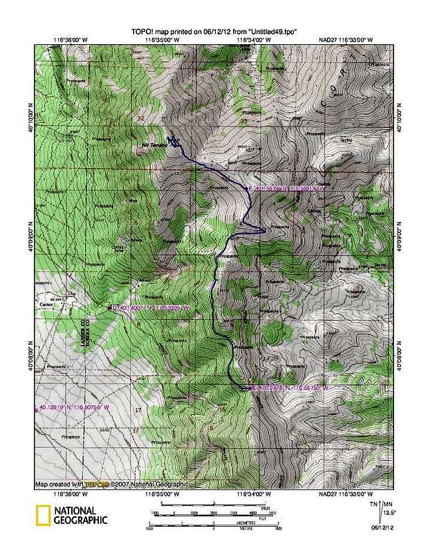
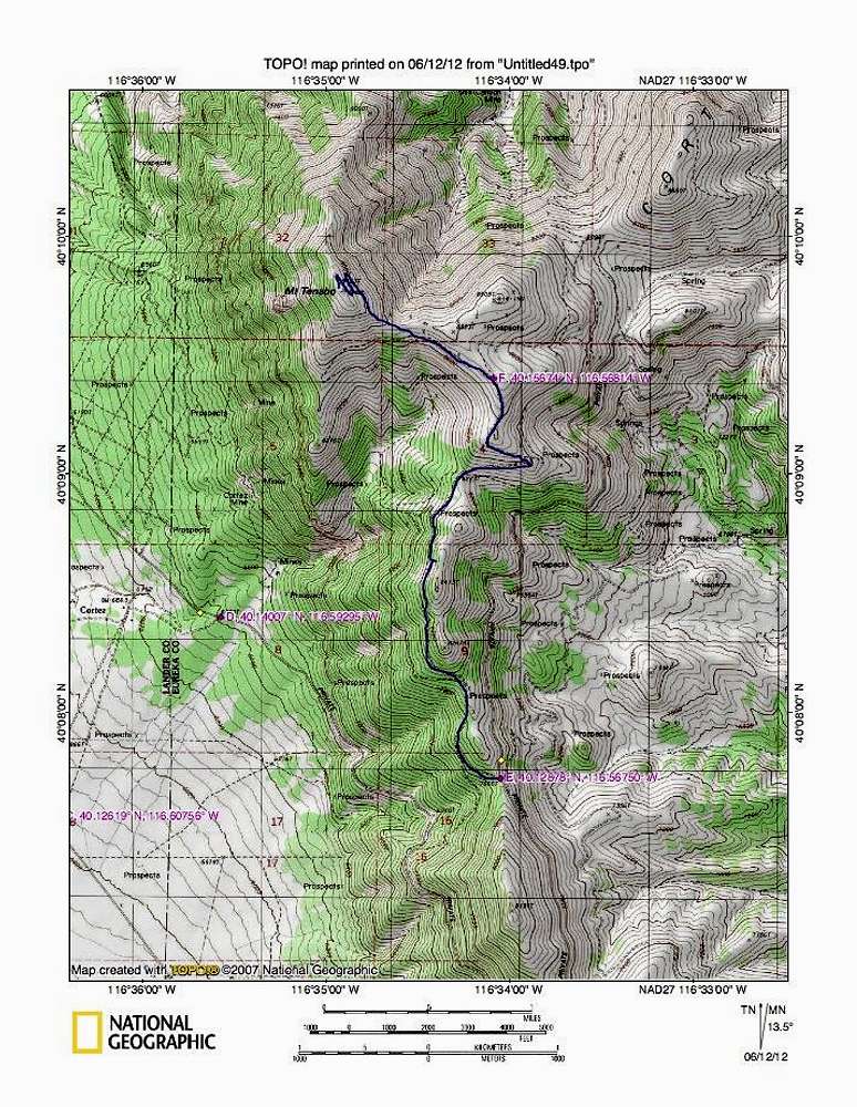
The blue line represents the rougher track that takes off from the haul road. It is about 4 miles from the turnoff (E) to the summit. I don't recommend trying to drive all the way to the summit as the road gets into the kind of switchbacks where you have to back up certain sections so it'd be best to park near where the turnoff (F) is for the county repeater is.
Waypoints:
(E) 40.1288 116.5675 Elev 7666
(F) 40.15674 116.56814


