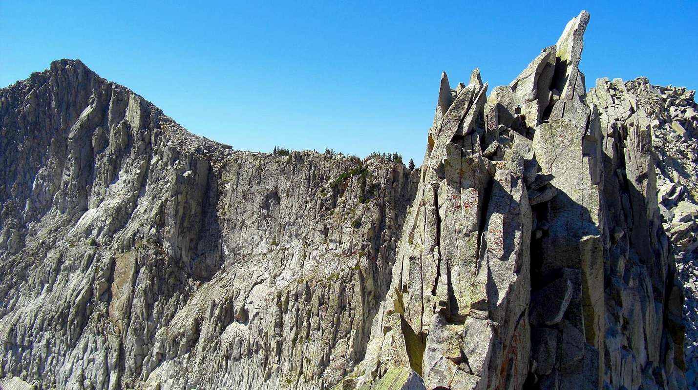
This photo shows how steep the upper portion of the Hogum Fork side is on the Thunder Ridge, tucked way up high in the upper most portion of the drainage. South Thunder's north east aspect drops off straight down a couple hundred feet. The pinnacles on the right are part of the Thunder Ridge. September 8, 2012.


