-
 6322 Hits
-
 78.27% Score
-
 9 Votes
|
|
Mountain/Rock |
|---|---|
|
|
47.47892°N / 11.68278°E |
|
|
Hiking, Skiing |
|
|
Spring, Summer, Fall, Winter |
|
|
6736 ft / 2053 m |
|
|
Overview
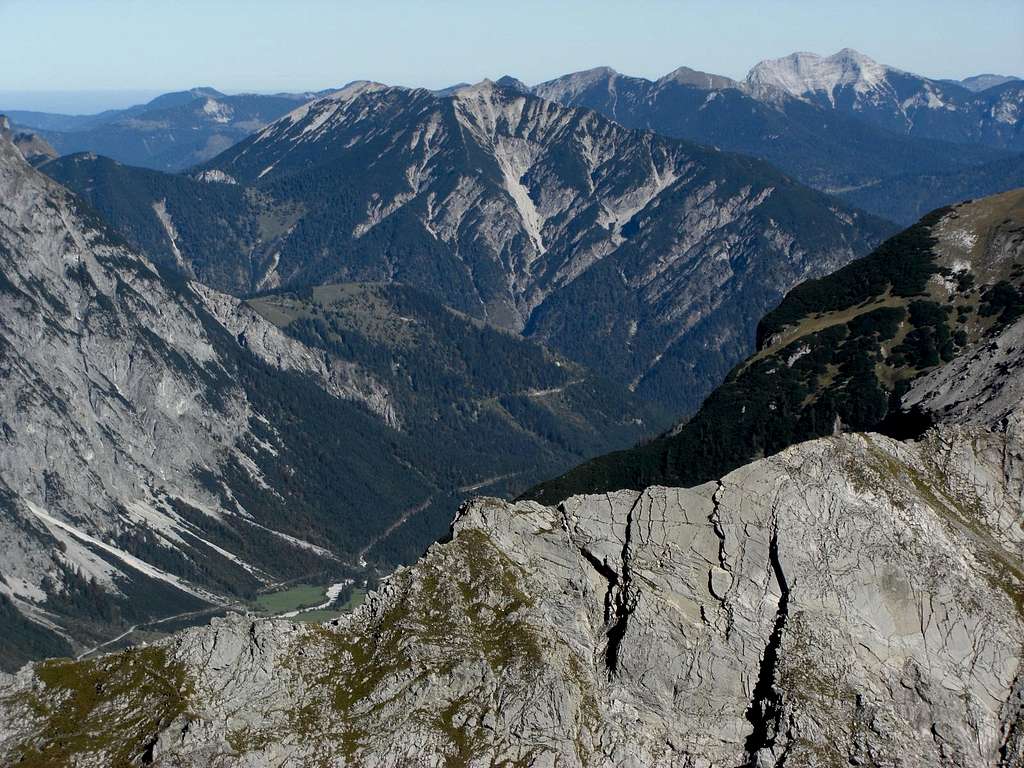
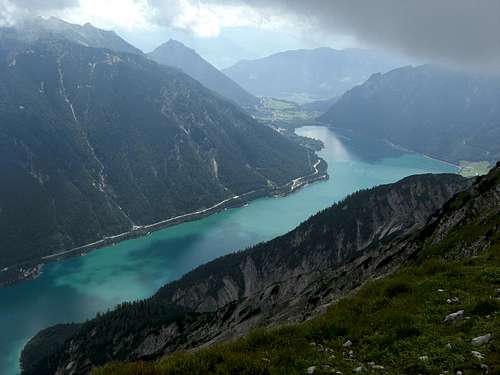
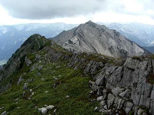
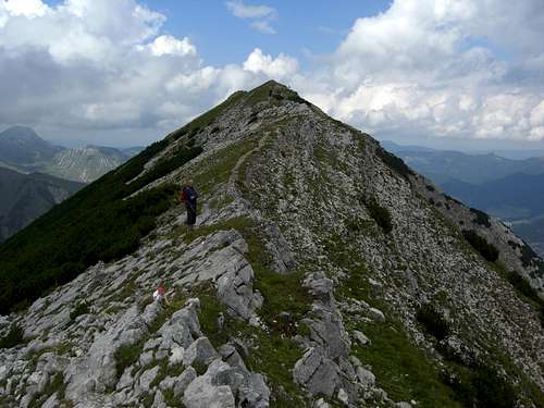
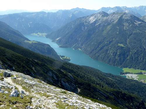
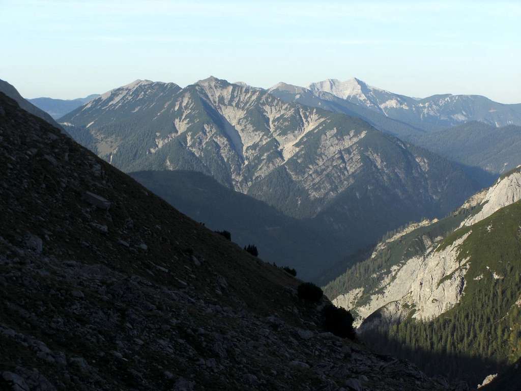
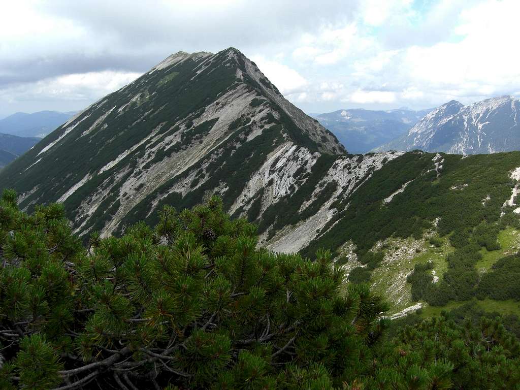
A long and high, south to north running ridge is bordering Achensee lake to the west; the northern end of it is called Seekarspitze. Seekarspitze and the southern end of this ridge, Seebergspitze, are two well known and popular hiking summits, the ridge itself is a nice traverse, too.
Jammed between the much higher mountains of Rofan to the east and the Karwendel ranges to the west and south, Seekarspitze and the ridge traverse to Seebergspitze nevertheless offers good views on the adjacient ranges and areas.
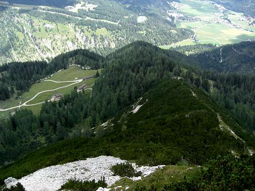
To the north, Seekarspitze opens the huge cirque of Seekar with Seekar Alm huts, the denominating location for the mountain. The rugged eastern rock face above Achensee lake is always a spectacular sight. The western slopes down to the lush meadows of Pasillalm and wild Oberautal are more gentle and less rugged.
From may through july beautiful and abundand wildflowers are blossoming on the meadows and even in the rock parts of that mountain. July sees many alpine roses on the northern slopes. Seekar Alm offers food and drinks in the summer months, nowadays however with background music – not to everybodys delight. The traverse route to Seebergspitze with the descent via Pasillalm or to Pertisau village and a return trip on the Achensee ships can make a more than satisfying day on Seekarspitze.
Getting There
The main trailhead for Seekarspitze is
Achenkirch / Scholastika, parking area “Hinterwinkl”
You reach Achenkirch:
by car
by Railway
The next railway station is at Jenbach / Inntalvalley. See the railway schedule of ÖBB here.
From Jenach take the Achensee Railway to Pertisau and the ship to Achenkirch / Scholastika. The timetables can be checked here.
Alternatively take the bus number 4080 from Jenbach to Achenkirch.
Routes Overview
The following main routes are leading to Seekarspitze:
Northern Trails
Trailhead: Hinterwinkl parking area
Route Details:
At the parking area cross Oberautal creek and follow the forest road. At a road junction take the left, ascending road and follow it up to Koglalm. You may use the old trail in the upper part which branches off to your right after the second switchback and does some nice shortcuts between the roads switchbacks and joins the road again near Koglalm.
From Koglalm follow the road to Seekaralm or use again the old trail which branches off to your left after the crossing of a creek. The trail rejoins the road near Seekaralm.
You reach Seekaralm alternatively by using the trail north of Oberautal creek top the northwest and west. Take the first trail to your left, cross the creek and ascend the woods on the trail; this one, too, brings you up to Seekaralm.
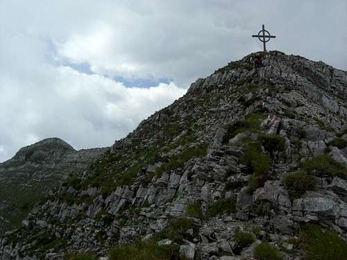
At Seekaralm turn left and follow the trail up to the north ridge; the trail follows the noth ridge steeply up to the summit.
This route is the winter ski tour route, too!
Traverse to Seebergspitze
Trailhead: Seekarspitze
Route Details:
Just follow the trail on the ridge crest or left / right of it into the deepest notch between the two summits (1924 m). Follow the trail using the steep north ridge of Seebergspitze up to the summit; there is some easy rock scrambling involved (some steel ropes for extra security).
Seekaralm – Pasillalmen route
Trailhead: Hinterwinkl parking area
Route Details:
Go to Seekaralm as described above on the northern trails.
At Seekaralm take the left forest road which circles round the northern slopes of Seekarspitze and ascends the western slopes of the mountain to a col, called “Die Winteränger” between the Seekarspitze – Seebergspitze ridge and a secondary summit, called Schoberkopf and Wilde Kirche, standing amidst the meadows of Pasillalmen.
At the col there is a trail junction, take the left hand trail whichs ascends the cirque, called “Pfanne” to the lowest notch in the ridge Seekarspitze – Seebergspitze (1924 m). Turn left on the south ridge trail to Seekarspitze.
Oberautal route
Trailhead: Hinterwinkl parking area
Route Details:
This trail unfortunately is officially closed due to some landslides below Schreckenspitze in Oberautal. The trail, however, can be used but is no longer maintained, so you may meet some nasty parts.
Follow the trail north of Oberautal creek from the Hinterwinkl parking area to the northwest and west. Take the first trail to your right and then turn left on Oberautal forest road. Follow this road into Oberautal until you arrive at the first switchback. Take the trail branching off to your left and follow that now closed and not maintained trail until you arrive at Pasillalmen.
At Pasillalmen take the forest road to your left and follow the road up to the col “Die Winteränger”. At the trail junction follow the right trail, ascending the cirque “Pfanne” to the lowest notch in the ridge Seekarspitze – Seebergspitze (1924 m). Turn left on the south ridge trail to Seekarspitze.
Red Tape & Accommodation
Seekarspitze is part of the Alpenpark Karwendel, an important National Park of Tirol / Austria.
The entrance is free.
Please respect the following rules in the National Park:

You find accommodation at:
Mountain huts:
Gear & Mountain Condition
Seekarspitze is a nice hike during spring, summer and autumn.
In winter and early spring Seekarspitze can be tackled with snow shoes, too on the northern routes.
Normal hiking gear and good boots are sufficient. Gaiters can be useful during a springtime hike.
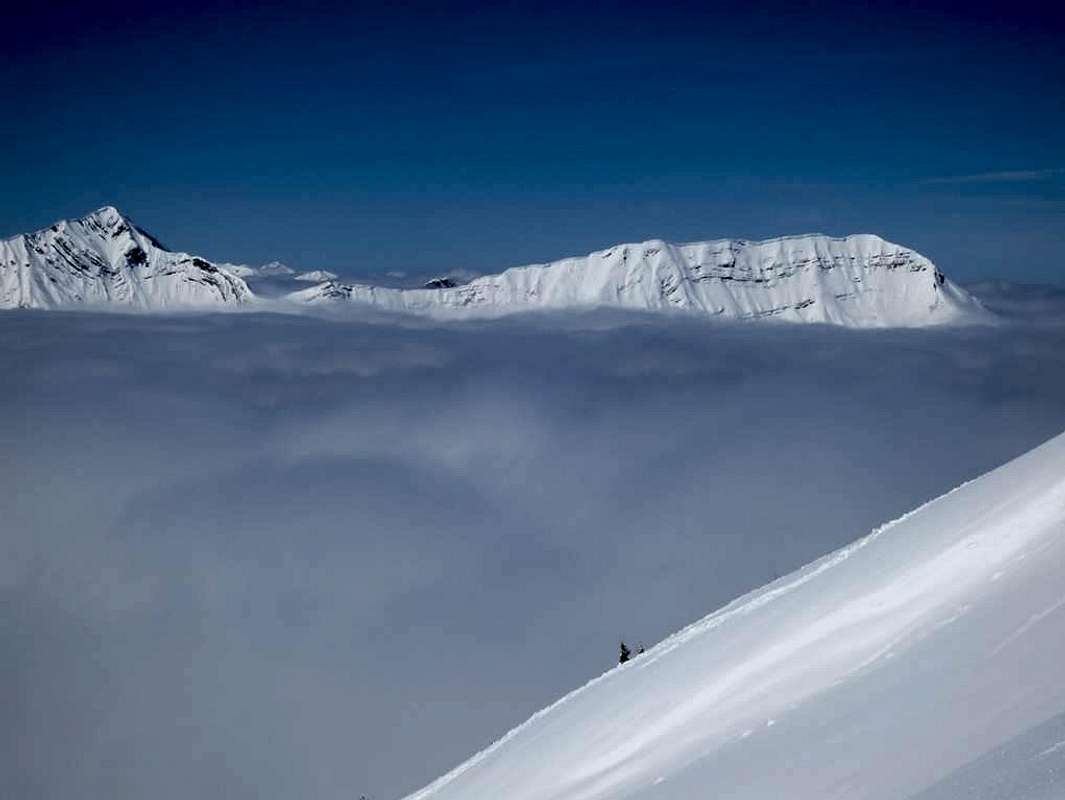
The ski route to Seekarspitze uses the northern route. It is a rather steep ascent and needs good skiing in the upper part of the ski descent.
In winter and spring you need full ski tour gear and your avalanche gear.
Check the Tirol avalanche bulletin before you get started.
Current Weather:
Maps & Guide Books
Maps
Alpenvereinskarte, scale 1 : 25.000, number 5/3, Karwendelgebirge Ost, trails, with UTM grid, München 2005
Bayerische Topographische Karte, scale 1 : 50.000, map number UK50-51, Karwendel, Landesamt für Vermessung und Geoinformation Bayern, 2008, with UTM-grid for GPS
Guide Book
Heinrich Klier, Fritz März, und Walter Klier: Alpenvereinsführer Karwendelgebirge alpin, Bergverlag Rother, 2005
