
|
|
Mountain/Rock |
|---|---|
|
|
60.75235°N / 148.71635°W |
|
|
Mountaineering |
|
|
Summer |
|
|
3517 ft / 1072 m |
|
|
Overview
This is a challenging climb for anyone spending a day in Whittier, AK and I climbed it on August 1, 2015 while waiting for a 7 day southbound Princess cruise to begin. The hike/climb is approximately 6 miles roundtrip from the cruise ship pier and gains about 3,500’ elevation. I climbed it in less than 7 hours the beginning of August and an ice ax and crampons are going to be needed year around for this mountain due to a portion of travel over the western side of Whittier Glacier. The route involves fording the swiftly flowing Whittier Creek near the campground at the start and finish of the climb and an ice ax is valuable in keeping your balance against the swiftly flowing icy waters(as are crampons on the glacier)! I appreciate a write up of the basic route description provided by William Finley at akmountain.com. from when he climbed nearby Bard Peak in 2007.Getting There
Getting to Whittier can also be a challenge! I spent 20 hours there during a cruise port call. If you are approaching from the Anchorage side, there is a choice between rail or highway and since both share the same tunnel, scheduling is a requirement both ways.There is parking for the port before you reach the campground and I walked from the pier where our ship was docked over to the campgrounds initially along the Whittier creek, but on return used the road access for campers which is better.
Route
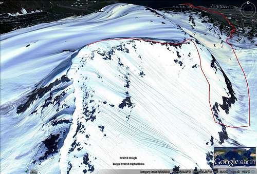
route followed
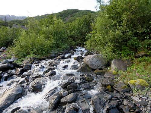
small creek at start
Then you head upstream to the larger of two smaller streams feeding into the creek.
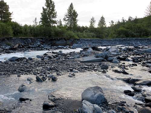
view across Whittier creek at start
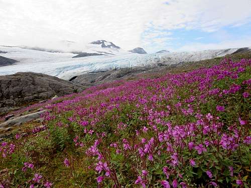
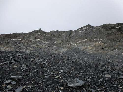
Foot of the glacier
When you reach the glacier, put on your crampons for about 20 – 30 minutes of pleasant travel.
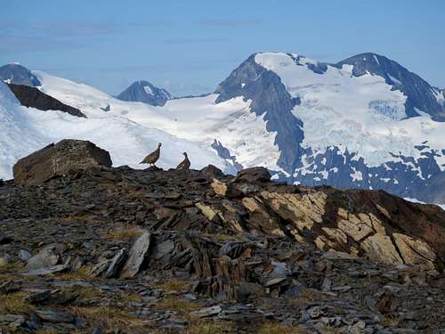
Grouse along ridge
Steep climb to ridge
Summit view toward Turnagain Arm
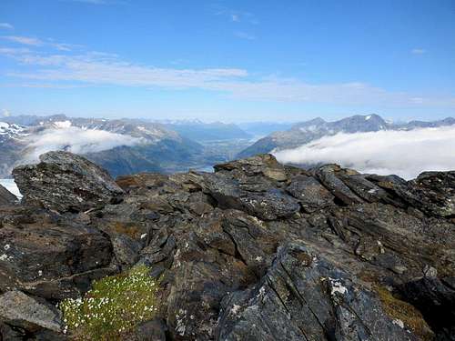
When you finally reach the ridge, the balance of the climb is very pleasant with nice views in all directions if the clouds allow.
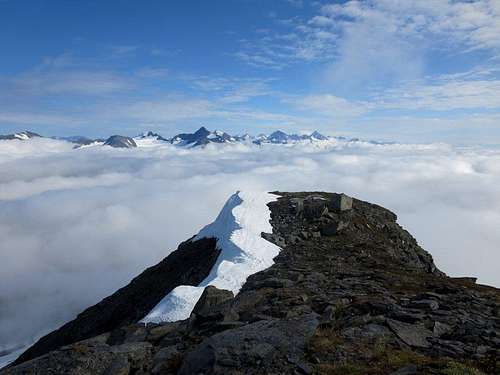
Summit view toward Whittier
Red Tape
There is no red tape involved to climb this mountain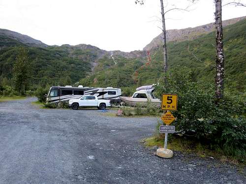
View of initial portion of route
When to Climb
Probably most of the year when properly equipped with ice ax and crampons although winter climbing has added difficulties of fording the Whittier creek.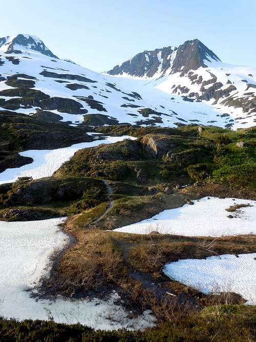
View of Shakespeare Glacier from West on the Portage trail