Toggle navigation
Mountains
Routes
Images
Trip Reports
Forum
What's New
People
Areas & Ranges
Articles
Trailheads
Canyons
Huts & Campgrounds
Albums
Logistical Centers
Fact Sheets
Lists
Custom Objects
Gear
Plans & Partners
WELCOME TO SUMMITPOST
SIGN IN
REGISTER
Bear Peak
Additional Parents
Mesa Trail/Shadow Canyon to Bear Peak
Mesa Trail/Shadow Canyon to South Boulder Peak
Image
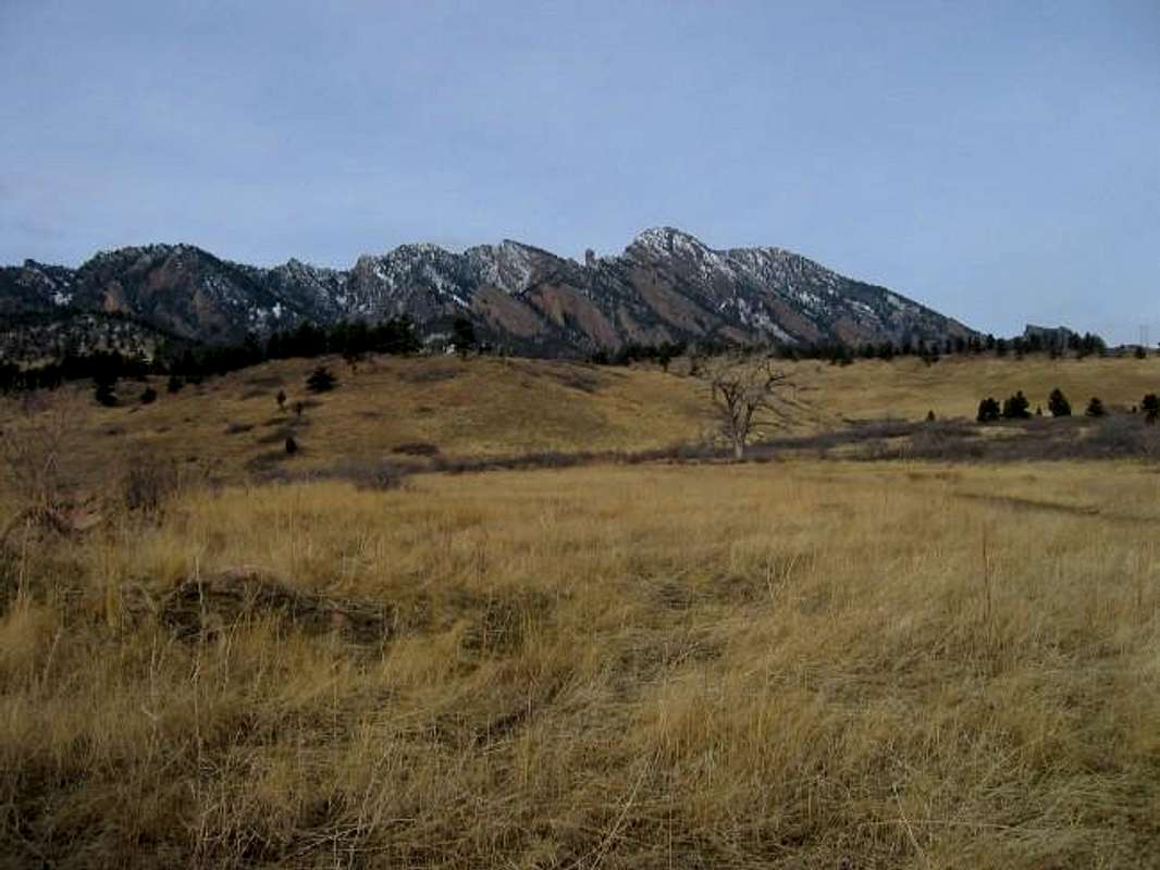
South Boulder Peak (on left)...
View High-Resolution Image
South Boulder Peak (on left)...
South Boulder Peak (on left) and Bear Peak (on right) seen from near the Mesa Trailhead. Upthrust between them is the Devils Thumb, aka "the infernal member". Febuary 29, 2004. Jon Bradford
« PREV
NEXT »
JonBradford
on
Mar 1, 2004 9:34 pm
Comments & voting
Other parents
Lat/Lon:
39.96100°N / 105.295°W
Image ID:
43824
4953 Hits
73.06
% Score
3
Votes
Log in to vote
Comments
No comments posted yet.
to post!
Don't have an account?
Bear Peak
(Mountain/Rock)
You are at
the First
Image
Viewing
#1 of 1
GALLERY
You are at
the Last
Image
JonBradford's Image Gallery
« PREV
Viewing
#1038 of 1444
GALLERY
NEXT »
Mesa Trail/Shadow Canyon to Bear Peak
(Route)
Loading....
Mesa Trail/Shadow Canyon to South Boulder Peak
(Route)
Loading....
×
You need to login in order to vote!
User Name
Password
Remember me
Forgot your password?
Log me out when I close my browser.
Keep me logged in all the time.
sign in as a user
Don't have an account?
Register now for FREE
Rating available
Suggested routes for you
People who climb the same things as you
Comments Available
Create Albums
Register Here


