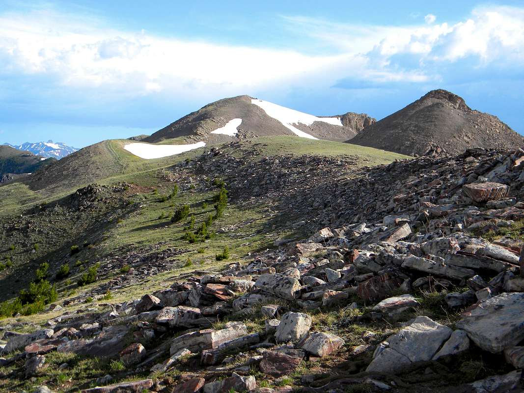
Hiking the south ridge from Targhee Pass is an easy way to reach this high point. The south and central high points are visible here. The pyramid on the right is the south ridge point (10,300). Note the old two-track road at left-center. An old road is on some maps as going up Little Mile Creek to the west. It doesn't appear that this is used anymore, but I could be wrong. Hilgard Peak is far in the distance on the left. June 2009


