Toggle navigation
Mountains
Routes
Images
Trip Reports
Forum
What's New
People
Areas & Ranges
Articles
Trailheads
Canyons
Huts & Campgrounds
Albums
Logistical Centers
Fact Sheets
Lists
Custom Objects
Gear
Plans & Partners
WELCOME TO SUMMITPOST
SIGN IN
REGISTER
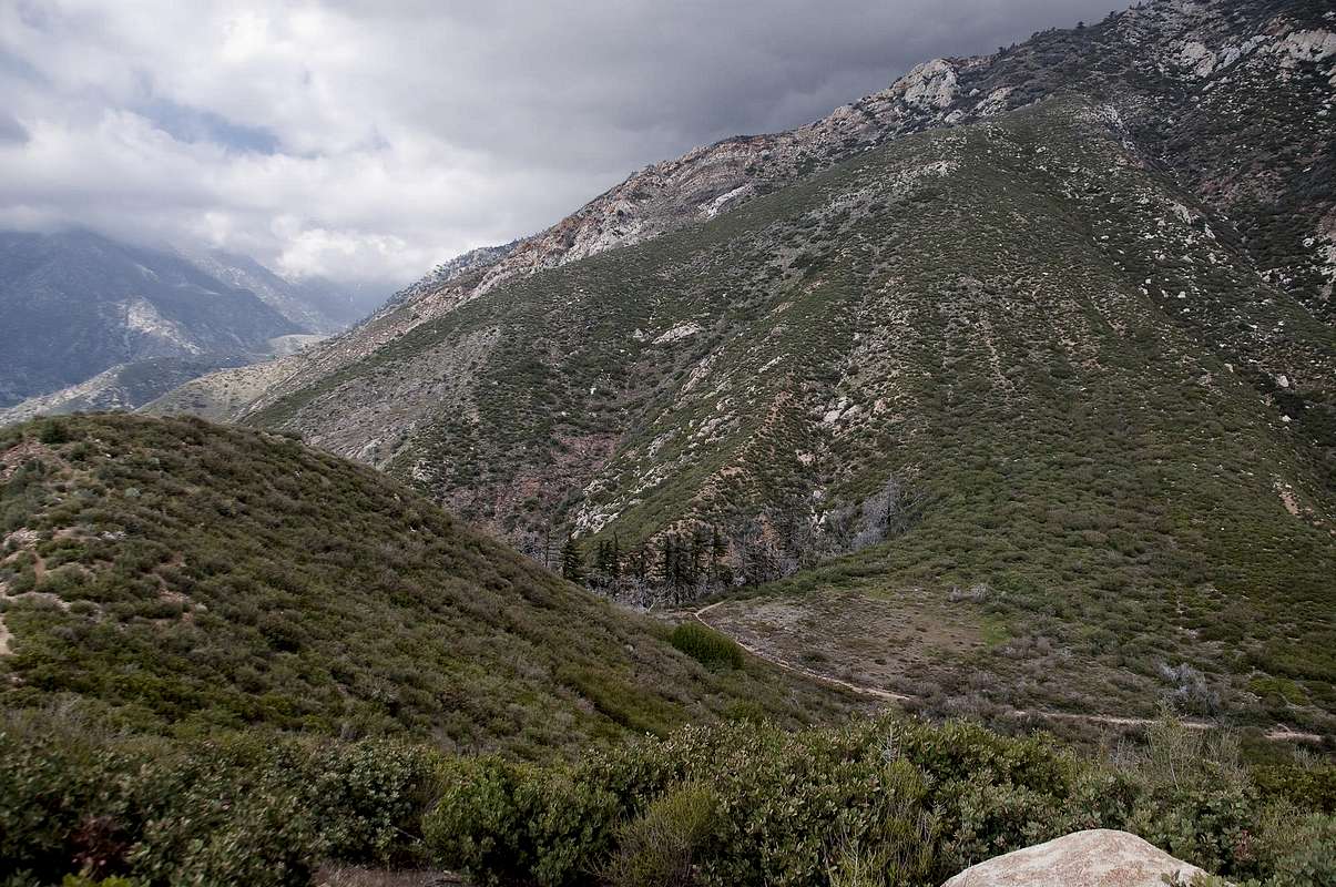
Stoddard Flat
View High-Resolution Image
Stoddard Flat
After reaching Stoddard Flat a use trail immediately leads up the chaparrel-covered slope to the left (west). After gaining the ridge you hike over two bumps to Stoddard Peak's true summit. May 1, 2010
« PREV
NEXT »
SoCalHiker
on
May 18, 2010 12:15 am
Comments & voting
Other parents
Lat/Lon:
34.19650°N / 117.6656°W
Image ID:
622193
2332 Hits
79.04
% Score
10
Votes
Log in to vote
Comments
No comments posted yet.
to post!
Don't have an account?
Stoddard Peak
(Mountain/Rock)
You are at
the First
Image
Viewing
#1 of 1
GALLERY
You are at
the Last
Image
SoCalHiker's Image Gallery
« PREV
Viewing
#913 of 3483
GALLERY
NEXT »
Stoddard Peak
(Mountain/Rock)
Loading....
Barrett-Stoddard Road
(Route)
Loading....
×
You need to login in order to vote!
User Name
Password
Remember me
Forgot your password?
Log me out when I close my browser.
Keep me logged in all the time.
sign in as a user
Don't have an account?
Register now for FREE
Rating available
Suggested routes for you
People who climb the same things as you
Comments Available
Create Albums
Register Here


