Toggle navigation
Mountains
Routes
Images
Trip Reports
Forum
What's New
People
Areas & Ranges
Articles
Trailheads
Canyons
Huts & Campgrounds
Albums
Logistical Centers
Fact Sheets
Lists
Custom Objects
Gear
Plans & Partners
WELCOME TO SUMMITPOST
SIGN IN
REGISTER
Sugarloaf Peak (California Cascades)
Additional Parents
Image
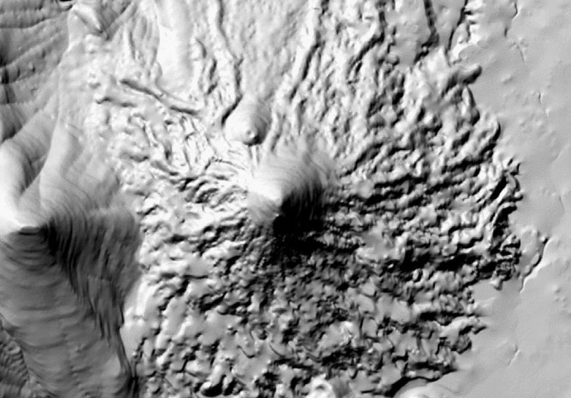
Sugarloaf Peak relief
View High-Resolution Image
Sugarloaf Peak relief
shaded relief of Sugarloaf Peak. Available online @
caltopo
Matching topo map available
here
« PREV
NEXT »
cdog
on
Mar 1, 2012 1:23 pm
Comments & voting
Other parents
Lat/Lon:
40.69590°N / 121.45982°W
Image Type(s):
Topo/Diagram
,
Informational
Image ID:
779080
1472 Hits
71.06
% Score
1
Votes
Log in to vote
Comments
No comments posted yet.
to post!
Don't have an account?
Sugarloaf Peak (California Cascades)
(Mountain/Rock)
« PREV
Viewing
#12 of 16
GALLERY
NEXT »
cdog's Image Gallery
« PREV
Viewing
#271 of 362
GALLERY
NEXT »
×
You need to login in order to vote!
User Name
Password
Remember me
Forgot your password?
Log me out when I close my browser.
Keep me logged in all the time.
sign in as a user
Don't have an account?
Register now for FREE
Rating available
Suggested routes for you
People who climb the same things as you
Comments Available
Create Albums
Register Here


