Toggle navigation
Mountains
Routes
Images
Trip Reports
Forum
What's New
People
Areas & Ranges
Articles
Trailheads
Canyons
Huts & Campgrounds
Albums
Logistical Centers
Fact Sheets
Lists
Custom Objects
Gear
Plans & Partners
WELCOME TO SUMMITPOST
SIGN IN
REGISTER
To The Top of Vancouver Island: The Golden Hinde
Additional Parents
Image
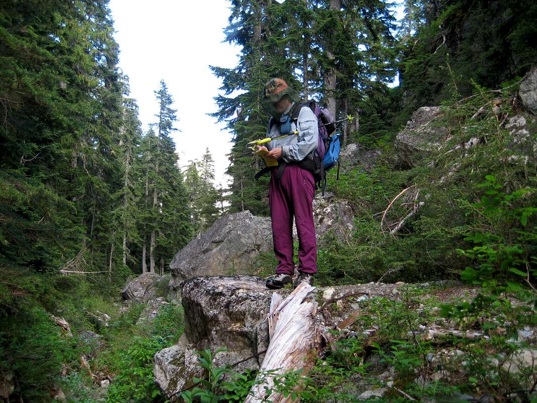
The Burman Chasm
View High-Resolution Image
The Burman Chasm
Note the heavy cable at the climber's feet. The remains of the mad BC Hydro scheme to redirect the outflow of Burman Lake down the Wolf River Valley.
« PREV
NEXT »
vancouver islander
on
Sep 10, 2007 11:56 pm
Comments & voting
Other parents
Lat/Lon:
49.66200°N / 125.747°W
Image ID:
335606
3119 Hits
73.06
% Score
3
Votes
Log in to vote
Comments
No comments posted yet.
to post!
Don't have an account?
To The Top of Vancouver Island: The Golden Hinde
(Trip Report)
You are at
the First
Image
Viewing
#1 of 1
GALLERY
You are at
the Last
Image
vancouver islander's Image Gallery
« PREV
Viewing
#897 of 1858
GALLERY
NEXT »
×
You need to login in order to vote!
User Name
Password
Remember me
Forgot your password?
Log me out when I close my browser.
Keep me logged in all the time.
sign in as a user
Don't have an account?
Register now for FREE
Rating available
Suggested routes for you
People who climb the same things as you
Comments Available
Create Albums
Register Here


