This map created with...

This map created with...

This map created with National Geographics Topo! software shows the Mill Creek Route up West Elk Peak. The roundtrip distance for this route is around 18.5 miles so the trailhead is well of the map. Jon Bradford
JonBradford
on Oct 18, 2003 11:07 am
Image ID: 31081

Comments

Post a Comment
Viewing: 1-1 of 1
BLong

BLong - Sep 25, 2009 2:37 pm - Hasn't voted
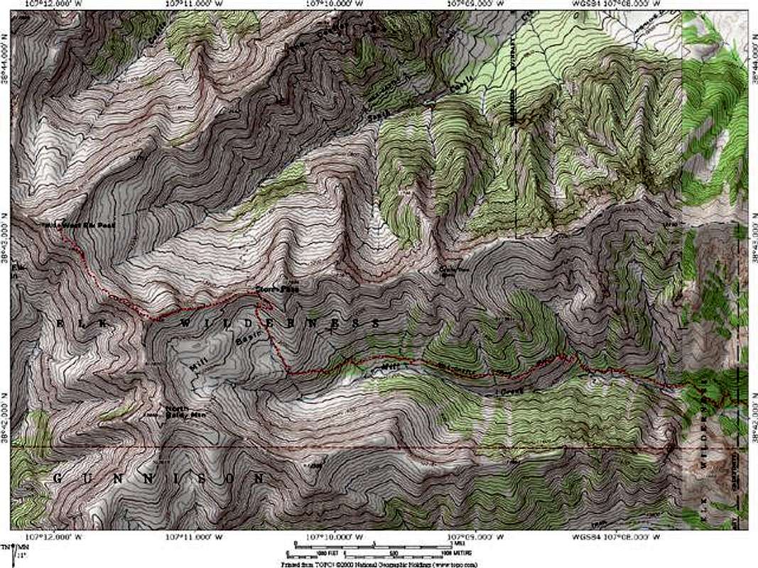
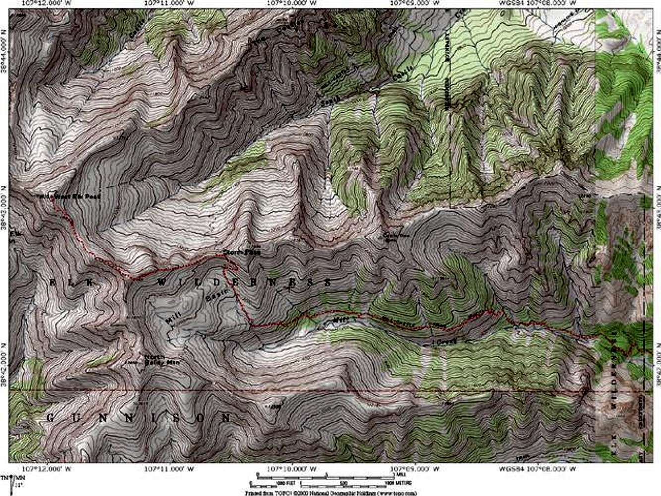
These maps are great...

But can't a copy with a higher resolution be uploaded?

Viewing: 1-1 of 1