Toggle navigation
Mountains
Routes
Images
Trip Reports
Forum
What's New
People
Areas & Ranges
Articles
Trailheads
Canyons
Huts & Campgrounds
Albums
Logistical Centers
Fact Sheets
Lists
Custom Objects
Gear
Plans & Partners
WELCOME TO SUMMITPOST
SIGN IN
REGISTER
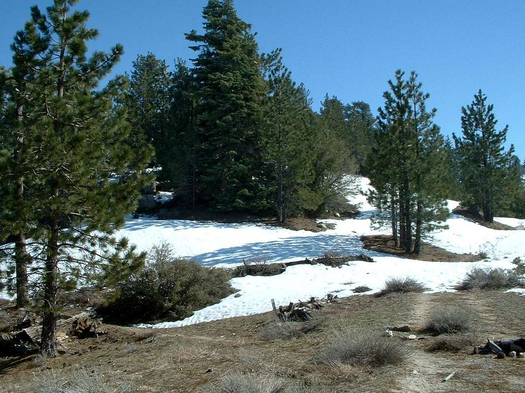
Trail junction
View High-Resolution Image
Trail junction
This is the PCT trail junction where it connects to the fire road at about 3.5 miles from Mill creek summit. The PCT is to the left. You can go directly straight up the ridge then head east for some good boulders.
« PREV
NEXT »
CNC Dave
on
Jun 5, 2007 12:10 am
Comments & voting
Other parents
Lat/Lon:
34.38190°N / 118.0345°W
Image ID:
298835
3182 Hits
74.01
% Score
4
Votes
Log in to vote
Comments
No comments posted yet.
to post!
Don't have an account?
Pacifico Mountain
(Mountain/Rock)
You are at
the First
Image
Viewing
#1 of 1
GALLERY
You are at
the Last
Image
CNC Dave's Image Gallery
« PREV
Viewing
#12 of 26
GALLERY
NEXT »
Pacifico Mountain
(Mountain/Rock)
Loading....
×
You need to login in order to vote!
User Name
Password
Remember me
Forgot your password?
Log me out when I close my browser.
Keep me logged in all the time.
sign in as a user
Don't have an account?
Register now for FREE
Rating available
Suggested routes for you
People who climb the same things as you
Comments Available
Create Albums
Register Here

